Imprimir vista previa Cerrar
Mostrando 317 resultados
Archival description
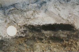
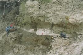
Y09-28-01 profile
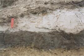
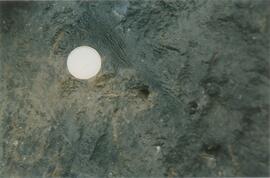
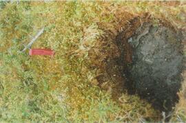
Y09-28-03 G20 surface
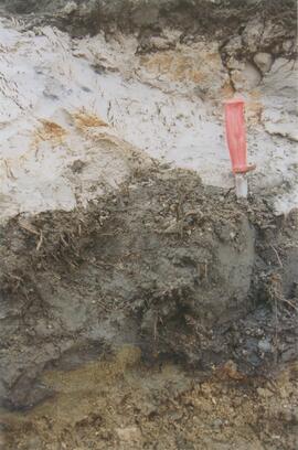
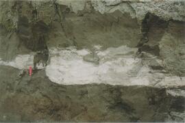
Y09-28-05 G40 surface
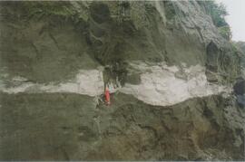
Y09-28-06 G50 surface
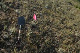
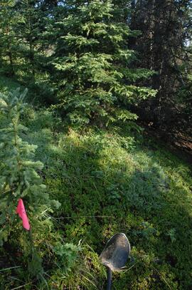
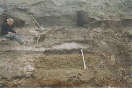
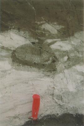
Y09-28-07 F10 site view
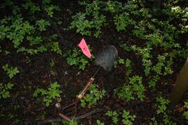
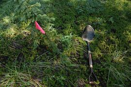
Y09-28-07 F10 surface
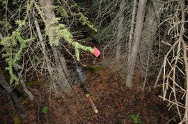
Y09-28-08 F20 site view
Y09-28-08 F20 surface
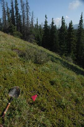
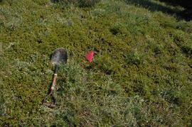
Y09-24 F15 surface

The Duchess

Alaska Highway

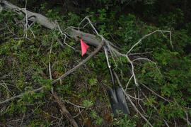
Eroding Rock Face?
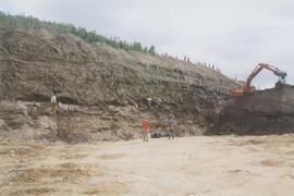
Gold Bottom east wall (2)
Gold Bottom east wall (4)
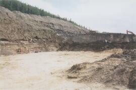
Gold Bottom lower pit
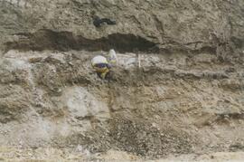
Site Y04-01 (5)
Site Y04-02 (2)
Site Y04-02 detail (1)
Site Y04-02 detail (3)
Site Y04-03 (3)
Site Y04-04 detail (1)
Site Y04-04 detail (2)
Site Y04-04 detail (6)
Site Y04-04 (2)
Gold Bottom transect - north aspect lower slope (5)
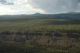
Early Pleistocene basalt cliffs on the north side of the Yukon River
Early Pleistocene basalt cliffs on the north side of the Yukon River

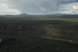
North side of the Yukon River, mid-Pleistocene basalts west of gully
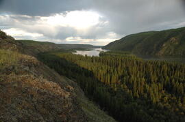
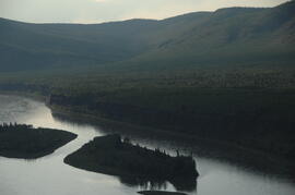
Camp 1, facing east up the Yukon River
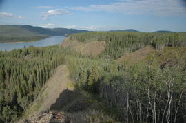
Camp 1, facing west down the Yukon River

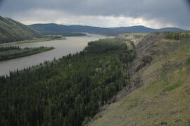
Near Camp 1, facing west down the Yukon River
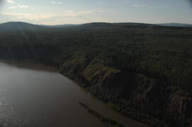
East of Camp 1, facing west down the Yukon River
View of cabin approximately 0.75 km west of Camp 1
Approaching Camp 2 at the mouth of Black Creek
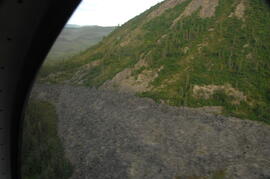
Flight between Camp 2 and Camp 3
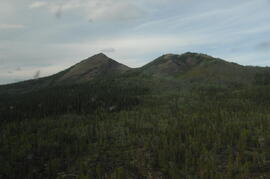
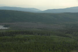
South flank of Volcano Mountain
Summit of Volcano Mountain
Summit of Volcano Mountain
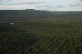
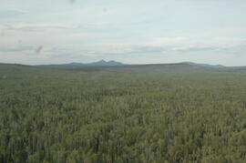
Upper end of Grand Valley Creek, north of Volcano Mountain
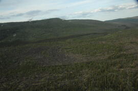
Basalt flow north of Volcano Mountain
Basalt flow north of Volcano Mountain

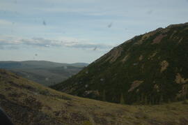
North side of Volcano Mountain
Facing southwest toward Leech Lake and the Holocene basalt flow south of Mountain
Near Camp 3
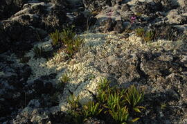
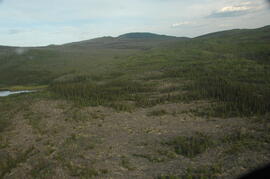
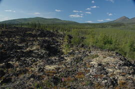
Holocene basalt flows near Camp 3
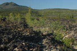
Holocene basalt flows near Camp 3
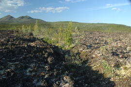
Holocene basalt flows near Camp 3

Holocene basalt flows near Camp 3
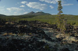
Holocene basalt flows near Camp 3
Holocene basalt flows south of Volcano Mountain