2013.6.36.1.003.052
·
Pièce
·
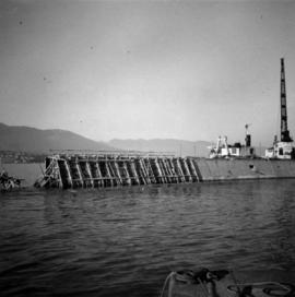
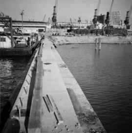
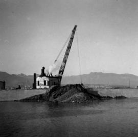
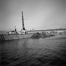
Aug. 1964
Fait partie de David Davies Railway Collection
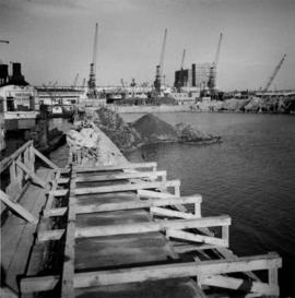
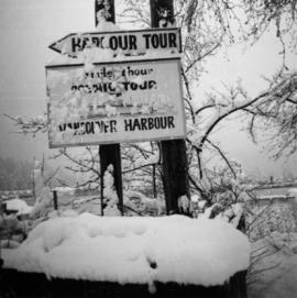
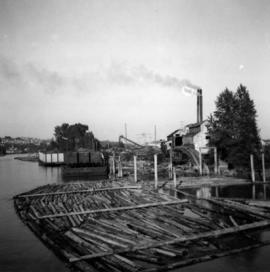
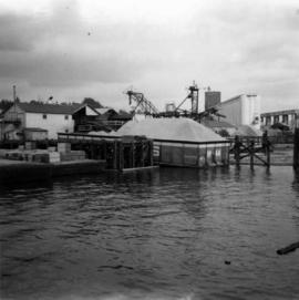
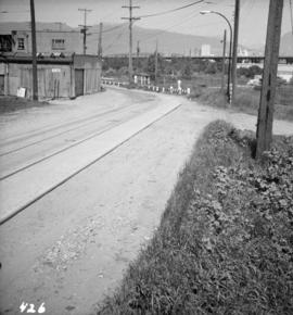
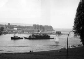
Photograph depicts the entrance to False Creek in Vancouver, B.C. The wooden navigation marker has since been removed. The photo is taken from 1053 Beach Ave.