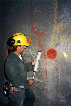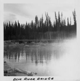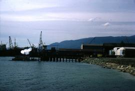
2000.1.1.3.07.07
·
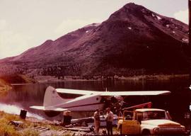
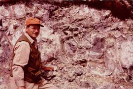
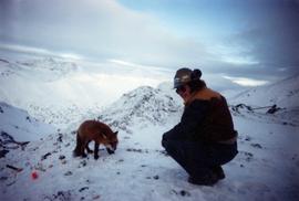
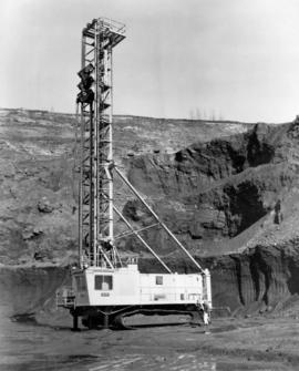
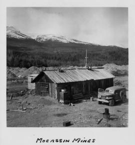
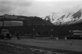
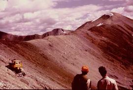
Item
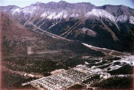
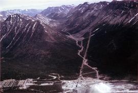
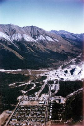
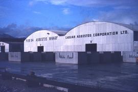
Part of Cassiar Asbestos Corporation Ltd. fonds