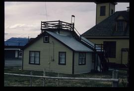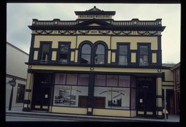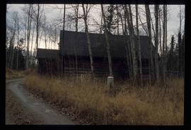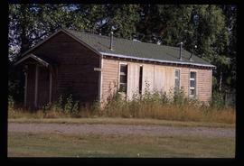
2012.13.1.98.17
·
Item
·
1999
Parte de J. Kent Sedgwick fonds
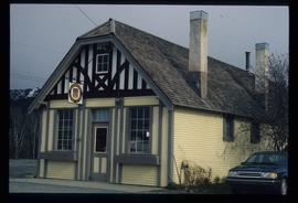
Image depicts the government liquor store in Atlin, B.C.