2003.4.3.025
·
File
·
1987-1989
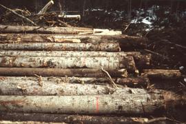
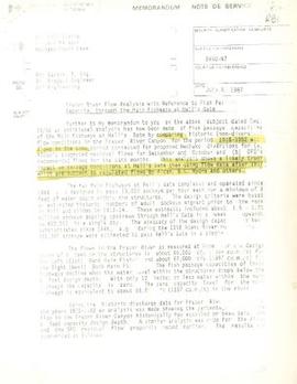
Part of Kemano Completion Project Dispute Collection
File consists of memoranda from Per Saxvik to Bell-Irving regarding "Fraser River Flow Analysis with Reference to Fish Passage Capacity through the Main Fishways at Hell's Gate". Also includes a "Fraser River Canyon Fish Passage Summary Report (June 1988) Updated October 1989" by Per Saxvik of SEP Engineering.