Imprimir vista previa Cerrar
Mostrando 6040 resultados
Archival description
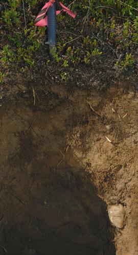
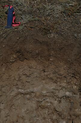
Site Y09-21 annotated profile
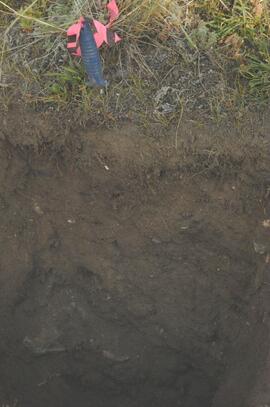
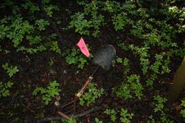
Site Y09-22 profile

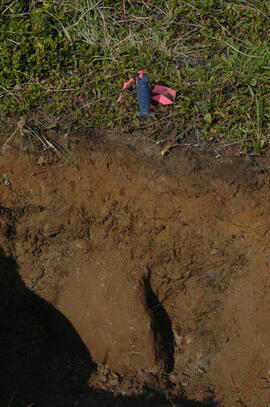
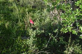
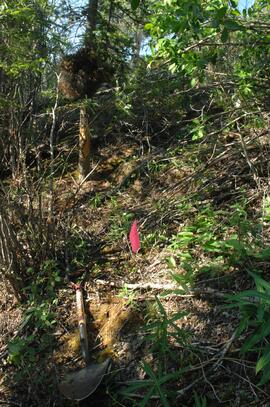
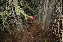
Site Y09-23 lapilli
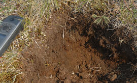
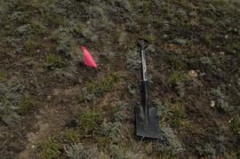
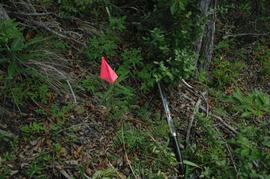
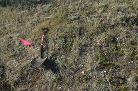
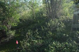
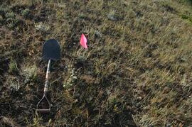
Site Y09-23
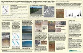
"The Pedological Record of Loess Deposition, Fire, and Slope Processes: Kluane Lake, Yukon"
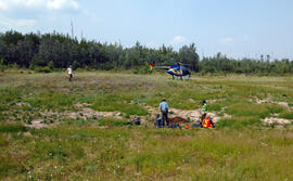
Kluane Lake 2009 field work photographs
Kluane Lake 2009 field work photographs
Y09-24 G15 surface
Y09-24 G25 surface
Y09-24-01 profile
Y09-24-06 G5 profile
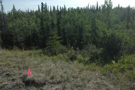
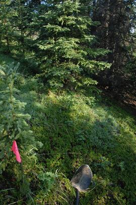
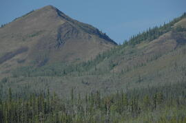
Y09-27 site view to forest
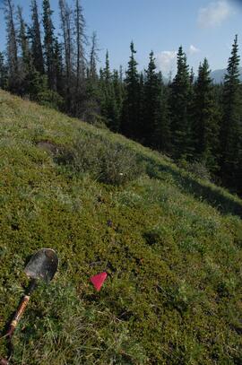
Y09-27-01 crest surface
Y09-27-05 G20 surface
Y09-27-06 G25 site view

Y09-27-07 F5 site view
Y09-27-08 profile
Y09-27-10 F20 site view
Y09-28-01 profile
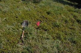
Y09-28-03 G20 surface
Y09-28-05 G40 surface
Y09-28-06 G50 surface
Y09-28-07 F10 site view
Y09-28-07 F10 surface
Y09-28-08 F20 site view
Y09-28-08 F20 surface
Y09-24 F15 surface
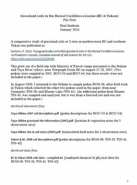
Grassland soils in the Boreal Cordillera Ecozone
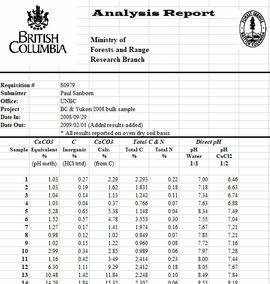
Grassland soils in the Boreal Cordillera Ecozone study data
Maps & Oversize
Maps & Oversize
"Looking to the Past to Inform the Future?" panel (part 2)
"Looking to the Past to Inform the Future?" panel (part 2)
Panels "Forest History in our Communities" and "Exploring our Roots" (part 1)
Panels "Forest History in our Communities" and "Exploring our Roots" (part 1)
"From Exploration to Development" panel (part 2)
"From Exploration to Development" panel (part 2)
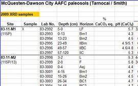
McQuesten-Dawson City paleosol data for Yukon Paleosol Study
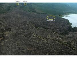
Holocene basalt flows south of Volcano Mountain

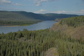
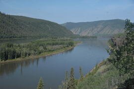
Pelly River and Yukon River confluence
Camp 1, facing west down the Yukon River
Camp 1, facing east up the Yukon River
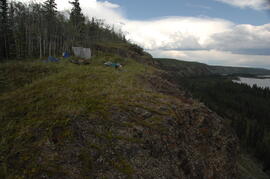
View of cabin approximately 0.75 km west of Camp 1

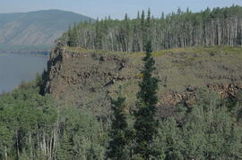
Middle Pleistocene basalt cliffs, facing downstream between Camp 1 and Camp 2

Middle Pleistocene basalt cliffs, facing downstream between Camp 1 and Camp 2
Camp 2, facing west down the Yukon River
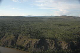
Flight between Camp 2 and Camp 3
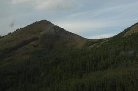
Summit of Volcano Mountain

North side of Volcano Mountain

Near Camp 3

Near Camp 3

Near Camp 3
South flank of Volcano Mountain
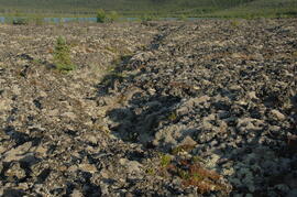
Holocene basalt flows near Camp 3
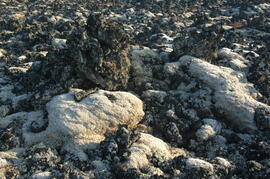
Holocene basalt flows near Camp 3