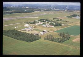
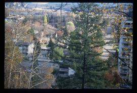
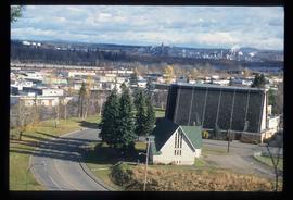
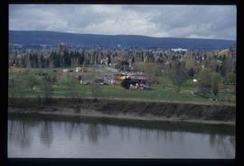
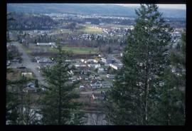
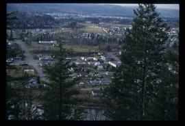
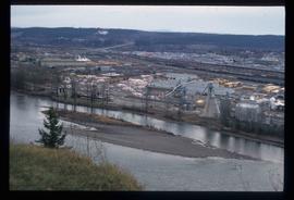
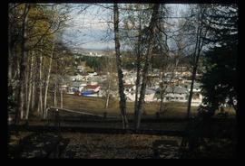
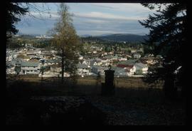
Image depicts a view of Blackburn Schools, possibly taken from Tabor Mountain.
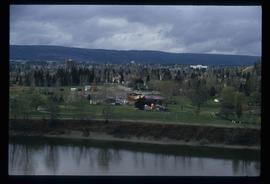
Image depicts a view of an experimental farm, possibly taken from Tabor Mountain.
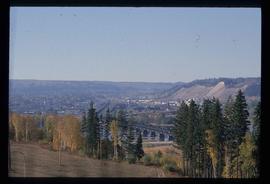
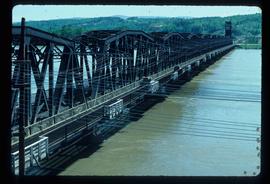
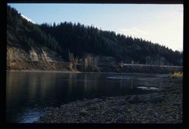
Image depicts the Grand Trunk Railway bridge across the Fraser River. Map coordinates 53°54'29.0"N 122°42'06.5"W
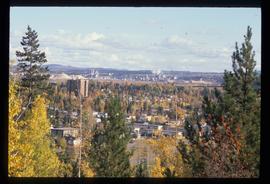
Image depicts Prince George, possibly with the Northwood Pulpmill in the background.
Image depicts Prince George, possibly with the Northwood Pulpmill in the background.
Image depicts Prince George, possibly with the Northwood Pulpmill in the background.
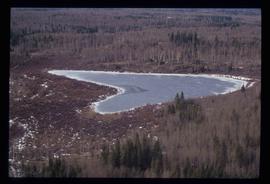
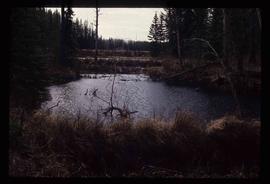
Image depicts Haldi Lake near Prince George, B.C.
Image depicts Eskers Park, near Prince George, B.C.
Image depicts downtown Prince George taken from across the Nechako River looking south. Map coordinates 53°56'00.0"N 122°44'29.7"W
Image depicts Prince George Sawmill taken from across the Nechako River looking southwest. Map coordinates 53°56'00.0"N 122°44'29.7"W
Image depicts Prince George Sawmill taken from across the Nechako River looking southwest. Map coordinates 53°56'00.0"N 122°44'29.7"W
Image depicts the Northwood Pulpmill in Prince George, B.C. taken from above the Nechako River looking east. Map coordinates 53°56'00.0"N 122°44'29.7"W
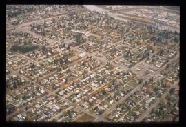
Image depicts an aerial view of a Prince George residential section between Highway 97, Carney Street and 10th Ave looking north. Map coordinates 53°54'54.0"N 122°46'00.4"W
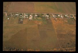
Image depicts an aerial view of what is possibly an outlying area of Prince George, B.C.
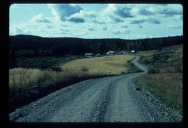
Image depicts a house on Blackwater Road.
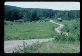
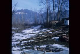
Image depicts an abandoned cabin and shed on Blackwater Road.
Image depicts a bridge in Prince George, B.C.
Image depicts a bridge in Prince George, B.C.
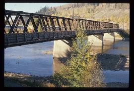
Image depicts a bridge in Prince George, B.C.
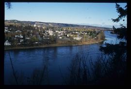
Image depicts a view of Prince George from an uncertain location.
Image depicts Prince George with numerous trees obscuring most of the view.
Image depicts Prince George.
Image depicts the Fraser River at Paddlewheel park, with a train on the other side of the river, in Prince George B.C.
Image depicts the Fraser River at Paddlewheel park, with a train on the other side of the river, in Prince George B.C.
Image depicts a view of Prince George.
Image depicts a view of Prince George.
Image depicts a view of Prince George.
Image depicts a view of Prince George.
Image depicts a sawmill in Prince George, B.C.
File contains slides depicting aerial views of Prince George.
Image depicts a Prince George residential area from the viewpoint of the Ginter Property.
Image depicts a Prince George residential area from the viewpoint of the Ginter Property.
Image depicts the Ginter Property in Prince George, B.C.
File contains slides depicting CN locations east of Prince George.
File contains slides depicting maps of the Prince George town site.
File contains slides depicting Island Cache on Cottonwood Island in Prince George, B.C.
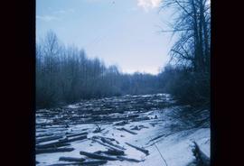
Image depicts some fallen trees at Island Cache.
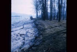
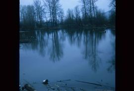
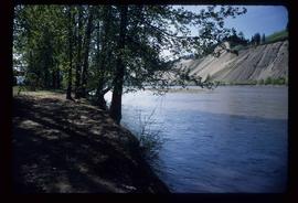
Image depicts the bank of the Nechako River at Island Cache.
Image depicts an area of cut trees at Island Cache.
Image depicts a clearing at Island Cache.
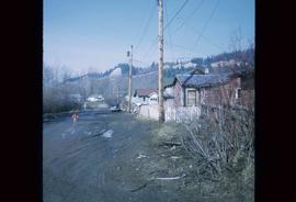
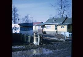
Image depicts numerous houses, and an unknown child standing in a street at Island Cache.
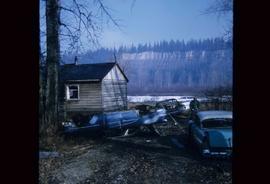
Image depicts several old, ruined cars and an unknown individual in Island Cache.
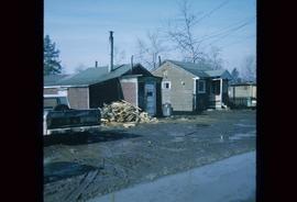
Image depicts a few houses and a dog on a porch at Island Cache.
Image depicts a body of water in Island Cache. It is possibly a small section of the Nechako River.
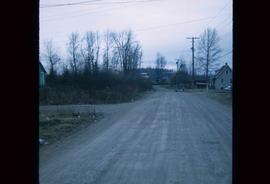
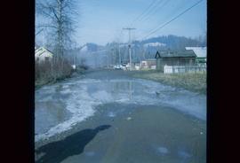
Image depicts a street in Island Cache.
Image depicts a few houses in Island Cache.
Image depicts a street in Island Cache.
File contains slides depicting Cottonwood Island in Prince George, B.C.
Image depicts the Nechako River on Cottonwood Island.
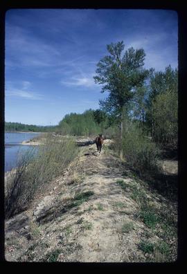
Image depicts a horse on Cottonwood Island.

