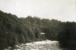
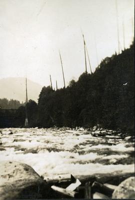
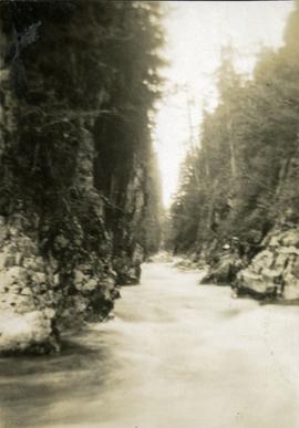
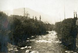
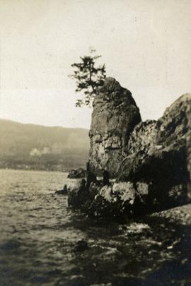
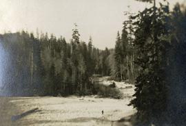
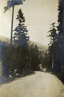
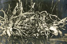
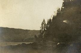
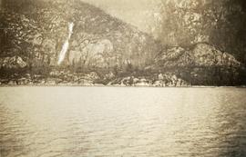
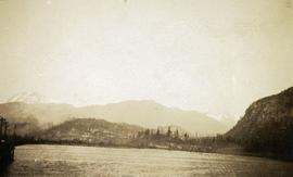
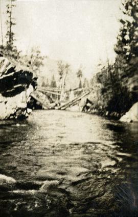
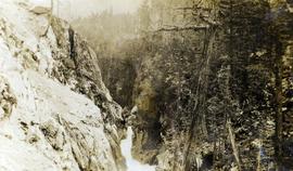
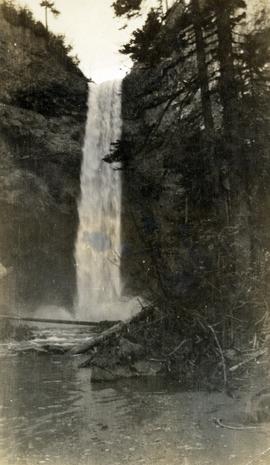
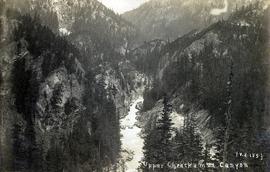
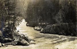
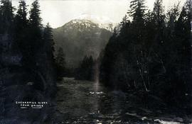
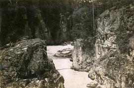
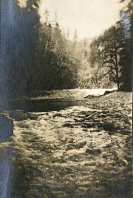
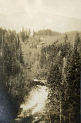
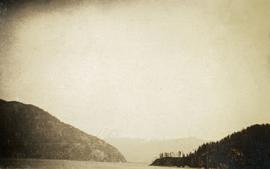
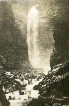
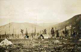
Photograph depicts an unknown canyon. It may be located in the area of Cheakamus Canyon near Squamish.
Photograph depicts the waterfall Brandywine Falls.
Photograph depicts the Upper Cheakamus Canyon, likely taken from above the railway grade at about "19 mile" looking north.
Photograph depicts the Upper Canyon, Cheakamus River. The photograph was likely taken from the railway grade at approximately "20 mile", looking north.
Caption provided on "real photo" postcard states: "Cheakamus River from bridge". However, this photograph may depict the Cheekye River, as seen from the railway bridge, looking southwest.
Photograph depicts the Mamquam River near Squamish.
Photograph depicts the Cheakamus River at "18 mile", as seen from the railway grade.
Photograph depicts a view of St'a7mes village looking north, taken from the original Government Wharf in Squamish (Newport). This wharf was built in 1902 and was temporarily replaced by other docks to the west built by the PGE Railway in 1913-14. This photograph was taken after 1914, since the houses in the photo were built by the PGE Railway Company as part of the 1914 reserves sale deal.
Further details that date this photograph between late 1914 and 1920:
- the Merrill & Ring logging operation beach camp is not depicted (opened in 1926)
- the dock from which the photo is taken fell into disrepair after 1914 and was not rebuilt until 1929.
Photograph depicts a view of Mt. Garibaldi, possibly from Brackendale.
Photograph depicts a view of François Lake taken from the ferry going to Northbank Point on right-hand side. The survey crew camped there in June 1936.
Photograph depicts "The Chasm" or "The Painted Chasm", located 11 miles north of Clinton, adjacent to the route of the Cariboo Road. In 1940, four years after this photograph was taken, Chasm Provincial Park was created in 1940 to preserve and promote the Painted Chasm feature, a gorge created from melting glacial waters eroding a lava plateau over a 10 million year span.
Photograph depicts a stream, forest and buildings. Location is not named.
Photograph depicts a stream and forest.
Photograph depicts three or more people bathing in a stream surrounded by forest.
Photograph depicts a stream with a rocky bank surrounded by forest.
Photograph depicts a walkway view of a suspension bridge. Several people are walking on the bridge.
Photograph depicts a view from below, looking up at a suspension bridge. Three or more people are walking on the bridge. There is a forest and building in the background.
Photograph depicts a view from above, looking down on a stream with forest on both sides.
Photograph depicts Siwash Rock in Stanley Park British Columbia.
Photograph depicts a stream bed surrounded by forest. One person is walking on the stream bed.
Photograph depicts a road through a forest.
Photograph depicts a man standing near a very large driftwood root.
Photograph depicts Siwash Rock in Stanley Park British Columbia.
Photograph depicts a woman sitting on a rock, driftwood in the background.
Photograph depicts a waterfall on a rocky mountainside, an expanse of ocean in the foreground.
Photograph depicts a dock on the left, water, low treed hills in the center of the photo and mountains in the distance.
Photograph depicts a narrow ocean passage between two rocky points. There are snow peaked mountains in the distance.
Photograph depicts a tiny coastal village nestled on the shore. Treed hills surround the village, there are snow topped mountains in the background.
Photograph depicts a waterfall on a rocky mountainside. There are snow peaked mountains in the distance.
Photograph depicts an expanse of water, on the shore are low treed hills and snow peaked mountains in the distance.
Photograph depicts a waterfall and stream with rocky banks.
Photograph depicts a view looking across an expanse of water toward treed mountains with snowy peaks.
Photograph depicts a view from a water vessel looking toward an inlet and mountains near the shore.
Photograph depicts a view from the ocean toward a lighthouse on a rocky ocean shore point. There are a few building near the lighthouse.
Photograph depicts the bridge at Goodacre Pond in Beacon Hill in Victoria, BC. Swans are swimming in the pond and there is a path and footbridge behind the pond.
Photograph depicts buildings looking north of the Empress Hotel on Douglas Street in Victoria, BC. The Belmont is on the right and the Customs Building on the left.
Photograph depicts a large construction in Victoria BC, possibly be related to the construction of the Johnson Street Bridge or the construction of a large building near the shoreline.
Photograph depicts the Empress Hotel in Victoria, BC.
Photograph depicts a view of Victoria from a ship in the Inner Harbour. Visible on the shore, from right to left, are: the Empress Hotel, the Belmont, the Customs Building, and other buildings along Douglas Street.
Photograph depicts the Empress Hotel in Victoria, BC.
Photograph depicts the British Columbia Parliament Buildings in Victoria, BC.
Photograph depicts the bridge at Goodacre Pond in Beacon Hill in Victoria, BC. Duck in foreground.
Photograph depicts two men standing on a wharf. A steamboat is docked, there are rails on the wharf and mountains in the distance.
Photograph depicts a field in the foreground, trees and mountains in the distance.
Photograph depicts a collapsed bridge on North Fork creek.