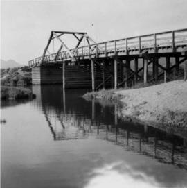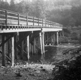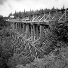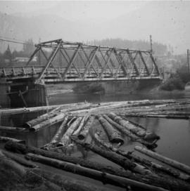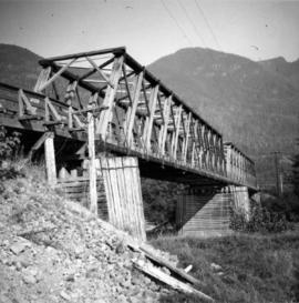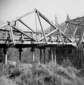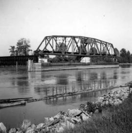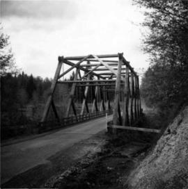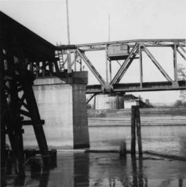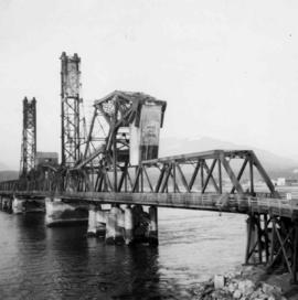
2013.6.36.1.001.36
·
Item
·
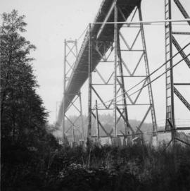
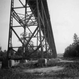
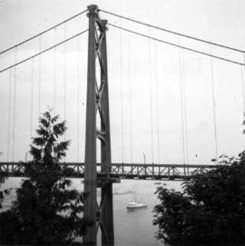
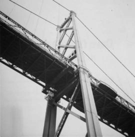
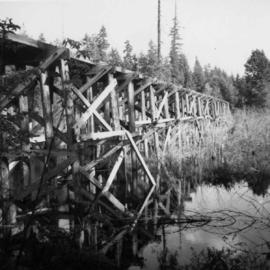
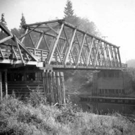
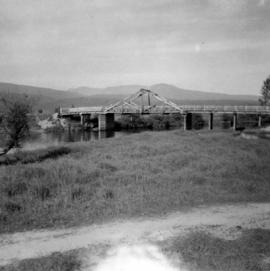
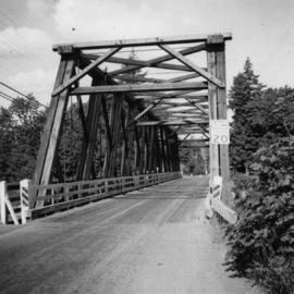
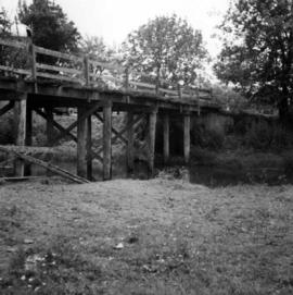
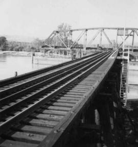
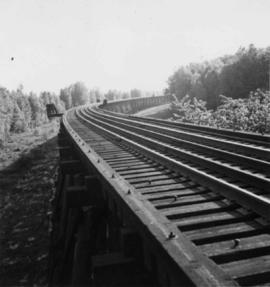
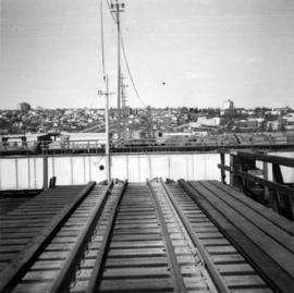
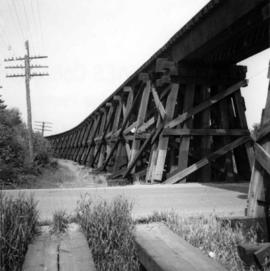
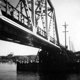
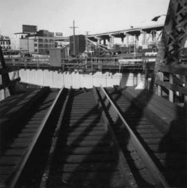
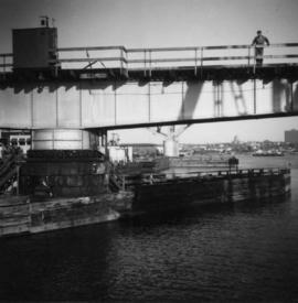
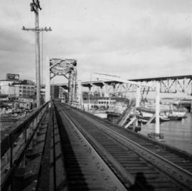
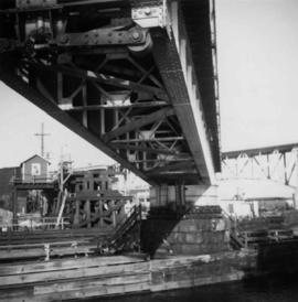
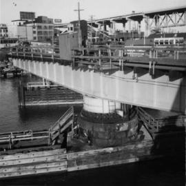
[1965]
Parte de David Davies Railway Collection
Photograph depicts the Second Narrows railway bridge in Vancouver, BC