2000.1.1.3.13.48
·
Item
·
1978
Parte de Cassiar Asbestos Corporation Ltd. fonds
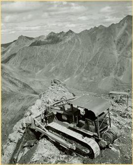
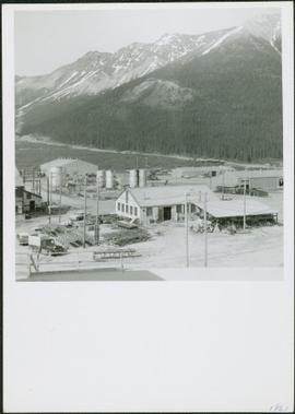
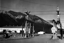
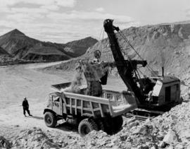
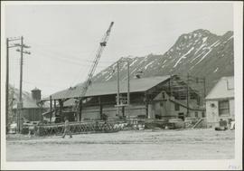
Photograph depicts the Cassiar mine to right of mine valley, north mountain range in background. Tramline station visible on west of open pit, and the new mine garage can be seen behind the West peak.