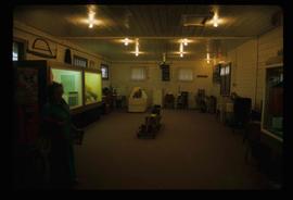
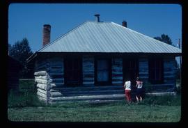
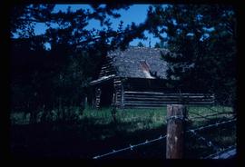
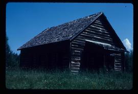
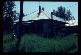
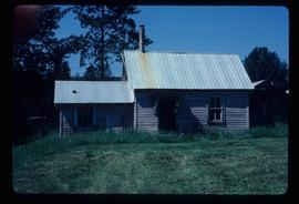
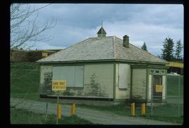
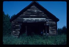
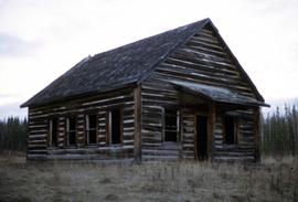
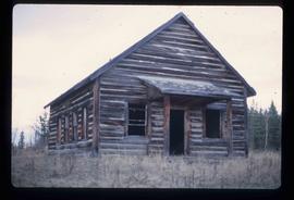
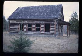
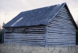
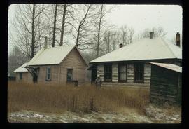
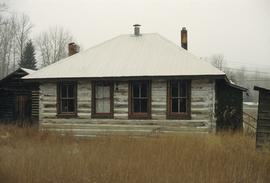
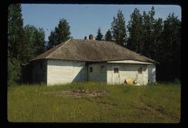
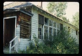
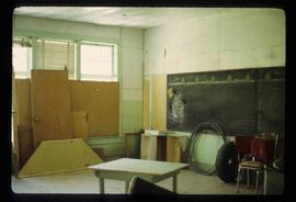
Image depicts the Station Museum and the "Alberta Pool Elevators Ltd." building in Dawson Creek, B.C.
Image depicts stuffed wildlife exhibits inside the Station Museum in Dawson Creek, B.C.
Image depicts the interior of the Station Museum in Dawson Creek, B.C.
Image depicts the Tumbler Ridge School.
Image depicts the Hixon School.
File consists of a clipped article and a reproduction relating to a field trip to Lethbridge, Alberta. Includes "Lethbridge field trip" typescript document prepared by Kent Sedgwick for the field trip (1982).
Image depicts the old school in Woodpecker, B.C.
Image depicts the Hixon School.
Image depicts the Hixon School Teacherage.
Image depicts the old school at 150 Mile House, with what is likely the modern school visible in the background.
Image depicts a school and playground, possibly in New Aiyansh, B.C.
Image depicts the old school in Woodpecker, B.C.
File consists of notes relating to "Heritage in Landscape: A Geographers View of the Central Interior" lecture by Kent Sedgwick.
File consists of typed documents titled "The Prince George Writings of Kent Sedgwick" by Kent Sedgwick, and includes "The Land of Sunshine, Warm Days, and Cool Nights: Early Agricultural Settlement in the Prince George Area,"; "Prince George as a Central Place"; "A New Historical Framework for New Caledonia,"; "The Salmon River Portage," "Dr. George in the Central Interior,"; "Chala-oo-chick Revisited,"; "Connaught Hill Park,"; "A Brief History of Cottonwood Island,"; and "Some comments on the Cottonwood Island Park Designation of the Official Community Plan".
Image depicts the Woodpecker School building.
Image depicts the old Woodpecker School.
Image depicts the Woodpecker School building.
Image depicts the Hixon School and teacherage buildings in Hixon, B.C.
File consists of notes and reproductions relating to a field trip to Jasper.
Image depicts the Hixon School building in Hixon, B.C.
Image depicts the Giscome mill site in Giscome, B.C. The bunkhouse is in the background on the left and the school is in the foreground on the right. Map coordinates 54°04'04.8"N 122°22'04.7"W
File contains slides depicting schools in Prince George, B.C.
Image depicts a man in a yellow cap who appears to be blowing smoke into a bee colony at a bee farm. It appears to be an educational demonstration.
Image depicts the school and teacherage located in Dome Creek, B.C.
Image depicts a group of individuals who appear to be examining a rock. It is possibly part of an educational trip.
Image depicts a large group of people examining the sediment layers in a rock face.
Image depicts an old, boarded up school, possibly the Central Fort George Traditional School in Prince George, B.C.
Image depicts an unidentified man in a yellow hat who appears to be speaking to large group of people. It is possibly an educational event.
Image depicts an unidentified man in a yellow hat who appears to be speaking to large group of people and showing them small pieces of wood. It is possibly an educational event.
Image depicts an unidentified man holding what appears to be a broken screen of honeycombs. The group is likely at an educational event.
File consists of notes, clippings, and reproductions relating to the Prince George school dormitories. Includes: "Old Dormitory Property - Senior Citizens Development" typescript letter from the Secretary-Treasurer of School District #57 to Mr. Jefferies, City Manager (20 June 1979).
Image depicts an old, boarded up school in Island Cache, B.C.
Image depicts a group of individuals who appear to be searching through the rocks near a railway track. It is possibly part of an educational trip.
Image depicts a large group of people examining the sediment layers in a rock face.
File consists of drafts of advertisements for GEOG 163 Historical Geography of the Central Interior, a College of New Caledonia continuing studies course taught by Kent Sedgwick.
File contains slides depicting the UBC Museum of Anthropology.
File consists of notes and reproductions relating to the introductory class GEOG 163 Local Historical Geography, a College of New Caledonia continuing studies course taught by Kent Sedgwick.
File consists of notes and course outlines for GEOG 163 Historical Geography of the Central Interior, a College of New Caledonia continuing studies course taught by Kent Sedgwick.
File consists of handwritten reference material for GEOG 163 Historical Geography of the Central Interior, a College of New Caledonia continuing studies course taught by Kent Sedgwick.
Image depicts the log building that acts as the public library in Hudson's Hope, B.C.
Image depicts an old, boarded-up school building at an uncertain location.
Image depicts the old school building in Lamming Mills, B.C.
Image depicts the public library in Hazelton, B.C.
Image depicts a snowman drawn on the chalkboard of what appears to be an unused school, possibly in Lamming Mills, B.C. The slide is labelled "note board school."
Image depicts Upper Fraser Elementary School, after closure of town site. Map coordinates 54°06'54.4"N 121°56'16.6"W
Image depicts the Giscome bunkhouse in Giscome, B.C. Map coordinates 54°04'17.6"N 122°22'06.1"W
Image depicts Upper Fraser Elementary School, after closure of town site. Map coordinates 54°06'54.4"N 121°56'16.6"W