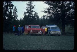
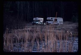
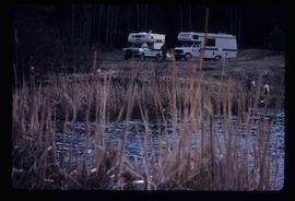
Image depicts rail road tracks west of Takla Landing.
Image depicts a man standing in front of a helicopter; a waterfall is visible on the cliffs in the background. The slide itself is labelled "BC Parks Tour."
Image depicts the hiking group packing their gear into two vans.
Image depicts two campers at an uncertain location, possibly somewhere near Meldrum Creek, B.C.
Image depicts a camper and a man and woman at an uncertain location, possibly somewhere near Meldrum Creek, B.C. The woman in the image is Sue Sedgwick.
Image depicts a ferry on a river, possibly the Fraser River in the Lillooet area.
Image depicts a red carriage labelled in yellow "B.C. Express Co. No. 20." It is possibly located in Kamloops, B.C.
Image depicts a close-up of the carriage step. It is possibly located in Kamloops, B.C.
Image depicts a truck parked on the side of the Cassiar Highway.
Image depicts numerous vehicles and individuals outside a hotel in Likely, B.C.
Image depicts a hotel in Likely, B.C.
Image depicts a blue truck and a camper in the wooded area surrounding the townsite of Keithley Creek, B.C.
Image depicts the dirt road leading to Keithley Creek.
Image depicts the townsite of Keithley Creek, B.C.
Image depicts numerous vehicles parked outside a building with a sign which reads "Mackenzie Centre;" it is possibly the mall in Mackenzie, B.C.
Image depicts numerous vehicles in the parking lot of a mall in Mackenzie, B.C.
Image depicts several apartment buildings and the sign for a Gulf Gas Station in Mackenzie, B.C.
Image depicts a truck parked on a beach in Mackenzie, B.C.
Image depicts a camper parked on the shore of Nation Lakes, south of Manson Creek, B.C.
Image depicts the road to Manson Creek, B.C.
Image depicts a man and his family filling up their truck with gas at Manson Creek, B.C.
Image depicts the gas station at Manson Creek, B.C.
Image depicts a helicopter in Germansen Landing, B.C.
Image depicts a red vehicle parked on the side of the road with a view of the McGregor Valley behind it. The slide is labelled "dam site."
Image depicts the site of Giscome's first quarry, with a train passing by and Eaglet Lake located in the foreground.
Image depicts a view of Giscome with a train passing through.
Image depicts a bridge over the McGregor River.
Image depicts a bridge over the McGregor River. A sign in the image reads: "Danger. The river is not navigable for any type of boat. Down stream falls and rapids impassible!"
Image depicts the "Divides Lake Waterfall" as well as a man in front of a helicopter in the foreground.
Image depicts a man at a campsite somewhere near Murray Ridge.
Image depicts Highway 16 en route to Prince Rupert, B.C.
Image depicts the Skeena River alongside Highway 16 en route to Prince Rupert, B.C.
Image depicts a mountain located somewhere along the Skeena River, and a road alongside it.
Image depicts a road leading to Prince Rupert, B.C.
Image depicts the Skeena River, as well as a stretch of highway that appears to be under construction.
Image depicts a rail road bridge located somewhere near Terrace, B.C.
Image depicts several ships on the water in Prince Rupert, B.C.
Image depicts a view of what is possibly a shipping yard in Prince Rupert, B.C. The slide is labelled "superport."
Image depicts numerous docked boats in Prince Rupert, B.C.
Image depicts a fishing boat on the water somewhere near Prince Rupert, B.C. Only half of its name is visible: "spirit."
Image depicts the ferry to Alaska in the port of Prince Rupert, B.C.
Image depicts a large vessel docked in Prince Rupert, B.C. The name on its side is "Star Capella." The slide itself is labelled "superport."
Image depicts a boat docked inside what appears to be a type of boathouse, possibly located in Metlakatla near Prince Rupert, B.C.
Image depicts numerous boats docked by a buildings identified as the "Prince Rupert Fishermen's Co-operative Association."