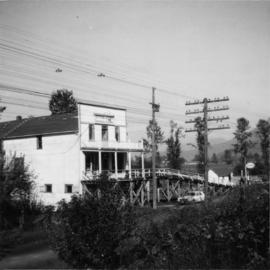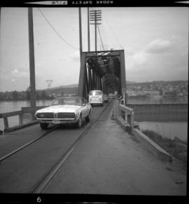
2013.6.36.1.017.12
·
Item
·
[3 June 1973]
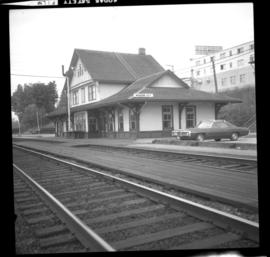
Part of David Davies Railway Collection
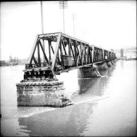
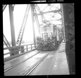
Photograph depicts the Mission City rail and road bridge. It is owned by the CPR and was opened in 1891. It was used by road vehicles between 1 July 1927 and the 23 June 1973, using a one way flow system. On the latter day, a new high level road bridge was unofficially opened. By early July 1973, the CPR had removed the wooden deck planking.