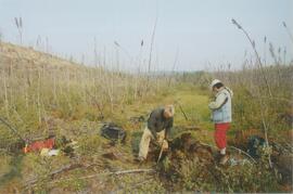
File consists of consent, permission and ethics forms associated with the data collection for Ainley's research project, "Re-Explorations: Science and Environment in 19th and 20th Century Canada and Australia"; conference proceedings and notes for conference proceedings; notes on research projects; and a curriculum vitae.
Photograph depicts the Mackenzie Valley and the Franklin Mountains. Pipeline is visible.
Photograph depicts the Mackenzie Valley and the Franklin Mountains.
Photograph depicts scientists Alejandra Duk-Rodkin (GSC) and Rene Barendregt (U Lethbridge) working at the Norman Range site.
Photograph depicts scientists Paul Sanborn and Rene Barendregt (U Lethbridge) working at the Norman Range site.
Data set "Yukon-AK 2004 soils data (Lost Chicken).xls" consists of Pliocene Rego Humic Gleysol (peaty) data from the Lost Chicken Mine site.
This PDF contains site location data and annotated soil profile photographs for soil charcoal samples at the Silver City section (site Y03-11).
This file contains the following photographs in both print photograph and negative format:
Kluane Lake (S. shore, near Kluane Lake Research Station)
Print roll 10, # 34-36