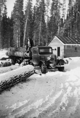
2014.2.1.25
·
Stuk
·
[between 1935 and 1950]
Part of Cornel Neronovitch Logging and Sawmills Collection
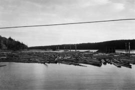
Photograph depicts a log boom in the Fraser River. These logs were waiting to go into jackladder and down the log chute into the Fraser River backchannel at Peden Hill sawmill.