2012.13.2.19.13
·
File
·
1985, 2002
Part of J. Kent Sedgwick fonds
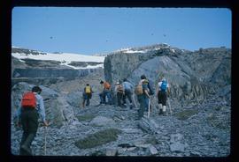
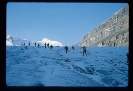
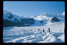
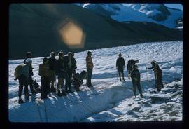
File consists of a note and reproduction relating to Mackenzie, BC.