2012.13.1.49.03
·
Item
·
2002
Parte de J. Kent Sedgwick fonds
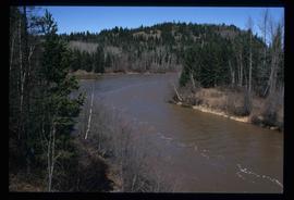
Image depicts the Mud River.


