Print preview Close
Showing 841 results
Archival description
Experimental Project (EP) 660
Experimental Project (EP) 660

Forest Research Note #PG-12: "Experimental Project 660 - Overview of Three Experimental Installations - A 30-year Progress Report"
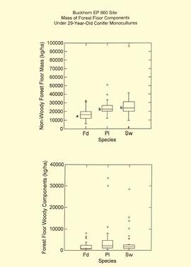
EP 660 Buckhorn 1997 forest floor graphs
Experimental Project (EP) 660 slides
Experimental Project (EP) 660 slides

Ministry of Forests internal memorandum "Re: Evaluation of BaCl₂ method for soil cations"

Forest Research Note #PG-12-1: "Experimental Project 660 - 30-year Progress Report - Buckhorn Installation"
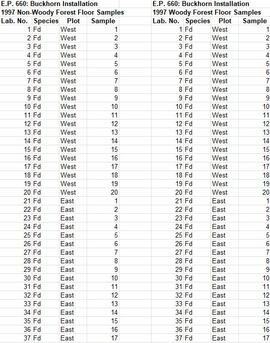
Experimental Project (EP) 660 data
"Mineralogy of clay and sand fractions of soils developed from till, glaciofluvial and glaciolacustrine deposits in central interior British Columbia"
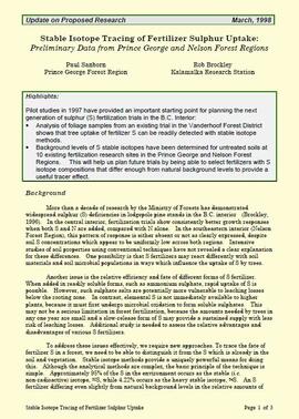
"Stable Isotope Tracing of Fertilizer Sulphur Uptake: Preliminary Data from Prince George and Nelson Forest Regions"
Sulphur stable isotope tracer study (E.P. 886.15)
Sulphur stable isotope tracer study (E.P. 886.15)
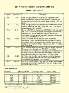
"Soil Profile Description: Kiskatinaw LTSP Site"
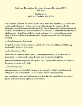
Soils and prescribed burning, Muskwa-Kechika
"Range Reference Area Exclosure Locations, Ft. St. John Forest District"
"Range Reference Area Exclosure Locations, Ft. St. John Forest District"
Muskwa-Kechika project digital images
Muskwa-Kechika project digital images
Cluculz retrospective study (E.P. 886.10)
Cluculz retrospective study (E.P. 886.10)
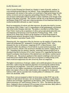
"Lucille Mountain soils"

MK Soils Project - 2001 - General Vegetation Descriptions

Muskwa-Kechika soils and prescribed burning project data
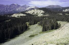
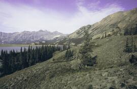
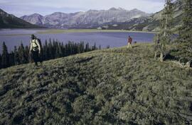
Muskwa-Kechika project slides
Muskwa-Kechika project slides
"FRBC 2001 Sustainable Harvest Silviculture Study - Sulfur Fertilization Trial - Project# OPM 02408-720765 - Preliminary Final Report"
"Final Report on Seed Project: Plant-Derived Opal as a Soil Indicator of Vegetation Change in Response to Prescribed Burning - Project M-K-2001-2002-81"
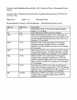
Cluculz Creek Fertilization Research Site
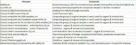
Data for Cluculz retrospective study (E.P. 886.10)
"Annual Operational Report - Forest Innovation Investment Project: R2003-0245 - Sulphur Fertilization of Lodgepole Pine: A Staple Isotope Tracer Study"
Soils research at Kluane Lake, Yukon
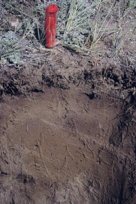
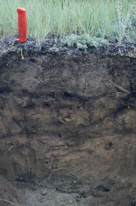
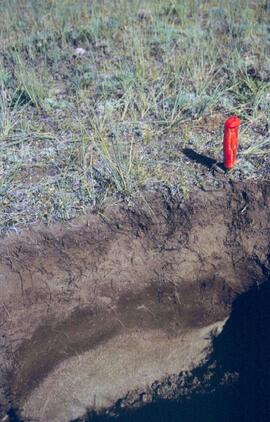
Y03-04 profile
Y03-10 site
Y03-09 site
Y03-09 profile
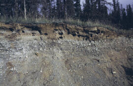
Y03-08

Lower Slims heavy sheep use area (detail)

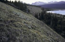
Lower Slims heavy sheep use area

Lower Slims unburned grassland (detail)

Lower Slims unburned grassland
Y03-12
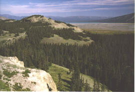
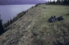
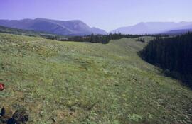
Lower Slims panorama
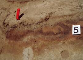
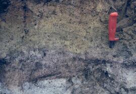
Silver City section (Y03-11) - soil 5
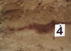
Silver City section (Y03-11) - soil 4
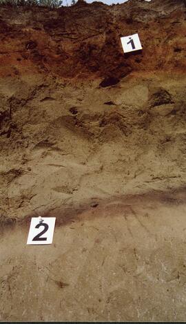
Silver City section (Y03-11) - soils 1 and 2
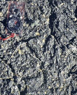
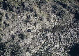
Cryptobiotic soil crust close-up
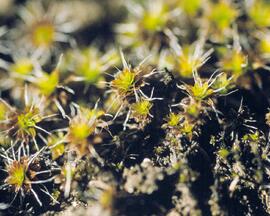
Cryptobiotic soil crust close-up

Kluane Lake soils research data
Y03-05 profile
Y03-04 site
Y03-08

Lower Sheep Creek canyon
Lower Slims panorama
Y03-12 view
Y03-12
Kluane Lake 2003 photographs - print roll 5
Kluane Lake 2003 photographs - print roll 5