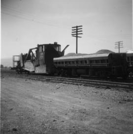
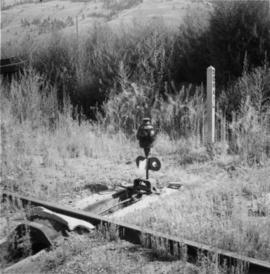
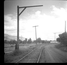
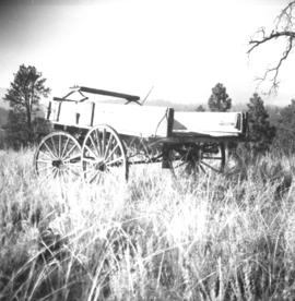
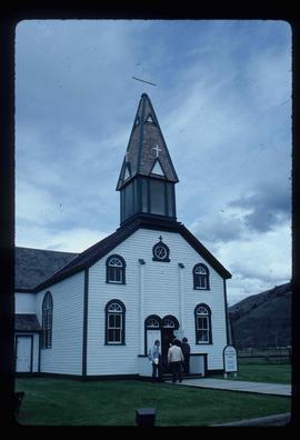
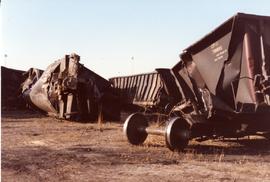
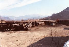
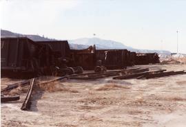
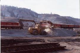
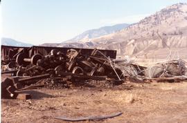
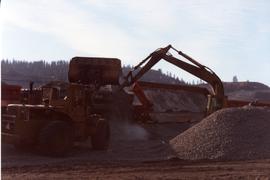
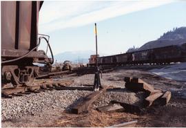
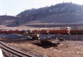
File consists of records created and accumulated by Gary Runka over the course of his consultancy work for BC Buildings Corporation for the "Land Resource Inventory of Tranquille Institution" project in Kamloops. This file was numbered as G.G. Runka Land Sense Ltd. client file #149; that client number may be seen referenced elsewhere in the G. Gary Runka fonds. The Land Sense Ltd. client files generally include records such as correspondence, contracts, invoices, project reports, publications, ephemera, memoranda, maps or map excerpts, legal documents, meeting materials, clippings, and handwritten notes. File also includes 4 accompanying aerial photographs (2 with overlays) and 1 photographic print. Includes report by G. G. Runka Land Sense Ltd. for B.C. Buildings Corporation entitled "Tranquille Farm, Kamloops, B.C., Land Resource Attributes and Constraints", January 1986.
Maps include:
- British Columbia Buildings Corporation, "Tranquille School & Farm", Aug. 1979
- British Columbia Buildings Corporation, "Tranquille", Feb. 1980
- British Columbia Buildings Corporation, "Tranquille Wasterwater Management System Upgrading", Feb. 1981 (2 copies)
- R. B. Stothers, City of Kamloops, "Posting Plan of Outer Boundaries of DL 341,342 & 343 all of Group 1 KDYD; LS6,11 & 12 of Sec 25; and NW Cor Sec 25, TP 20 Rge 19 W6M KDYD, Dec. 1985 (3 copies, 1 of which is annotated)
- Untitled map of D.L. 342 & 343 etc.
- Enlargement of Untitled map of D.L. 342 & 343 etc.
- Reproduction of [1916?] "Plan of Part of Lot 343 G1 Kamloops District"
- Reproduction of Canada Department of Agriculture Water Development Branch, "General Plan - Tranquille Farm Lands", Dec. 1953
- Annotated draft map showing Red Plateau grazing permit, Tranquille Reserve, existing fence, and proposed fence, circa [198-?]
- Reproduction of Department of Lands and Forests, "Plan of Tranquille School", Oct. 1961
- G.G. Runka Land Sense Ltd., draft mylar map negative depicting Tranquille Farm entitled "Map 1: Landforms", 1985
- G.G. Runka Land Sense Ltd., draft mylar map negative depicting Tranquille Farm entitled "Map 2: Land Capability for Agriculture", 1985
- G.G. Runka Land Sense Ltd., draft mylar map negative depicting Tranquille Farm entitled "Map 3: Land Suitability for Agriculture", 1985 (with overlays)
- G.G. Runka Land Sense Ltd., draft mylar map negative depicting Tranquille Farm entitled "Map 4: Present and Surrounding Use", 1985
- G.G. Runka Land Sense Ltd., draft mylar map negative depicting Tranquille Farm entitled "Map 5: Legal and Jurisdictional", 1985
- G.G. Runka Land Sense Ltd., draft mylar map negative depicting Tranquille Farm entitled "Map 6: Proposed Land Use and Legal Parcel Replot", 1985
- BC Ministry of Environment, 92I.078.1.4.1 Orthophoto map, Jan. 1985
- BC Ministry of Environment, 92I.078.1.4.1 Orthophoto map (reproduced with overlay), Jan. 1985
- BC Ministry of Environment, 92I.078.1.4.2 Orthophoto map, Jan. 1985
- BC Ministry of Environment, 92I.078.1.4.2 Orthophoto map (reproduced with overlay), Jan. 1985
- BC Ministry of Environment, 92I.078.1.4.4 Orthophoto map, Jan. 1985
- BC Ministry of Environment, 92I.078.2.3.1 Orthophoto map, Jan. 1985
- BC Ministry of Environment, 92I.078.2.3.1 Orthophoto map (reproduced with overlay), Jan. 1985
- BC Ministry of Environment, 92I.078.2.3.3 Orthophoto map, Feb. 1985
- Partial photocopy reduction of "Soil Map of Tranquille Sanatorium Farm", 1957 (on 2 sheets)
- Department of Lands and Forests Topographic Division Surveys & Mapping Branch, "Plan of Tranquille School" original detailed large reproduction annotated in colour, October 1961
- Large original reproduction of "Plan of Tranquille School", undated, possibly circa 1958-1961