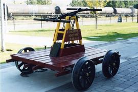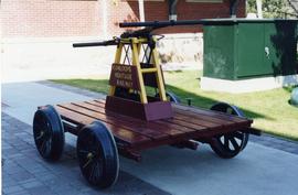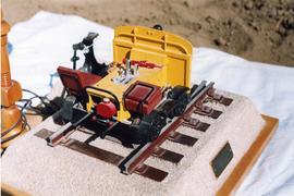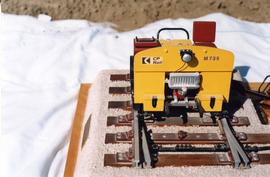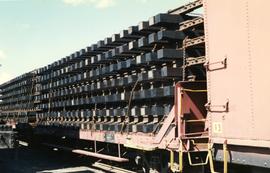
2013.6.36.1.101.06
·
Item
·
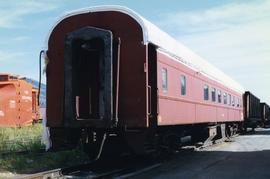
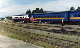
[May 1998]
Part of David Davies Railway Collection
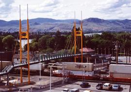
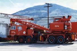
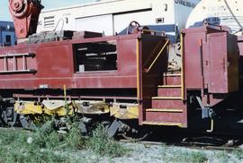
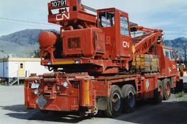
Photograph depicts the renovation and painting of the Rocky Mountaineer Rail Tours train at the CN Downtown Depot in Kamloops.