Print preview Close
Showing 325 results
Archival description
"AMS Radiocarbon Dates for Soil Charcoal in Holocene Loess - Kluane Lake, Yukon Territory - 2004 Samples"
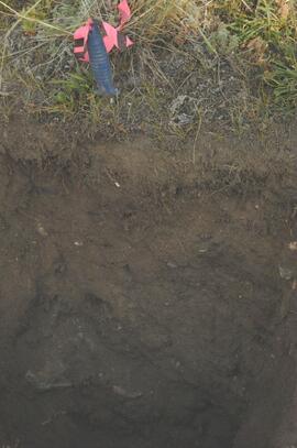
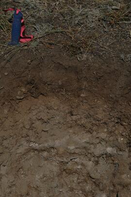
Y03-04 profile
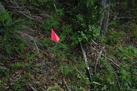
Y03-10 site
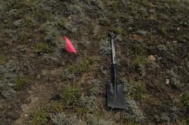
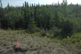
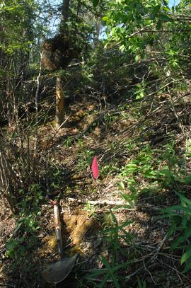
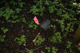
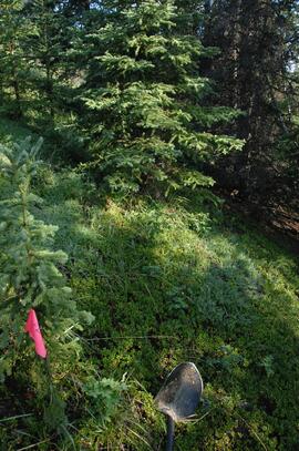
Y03-09 site
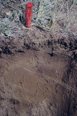
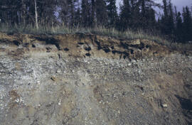
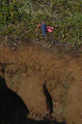
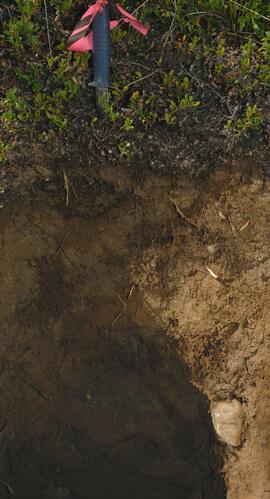
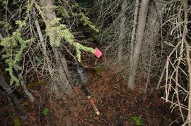
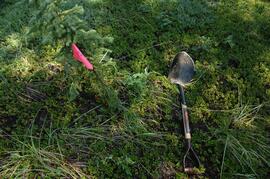
Y03-09 profile
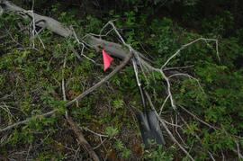
Y03-08

Lower Slims heavy sheep use area (detail)

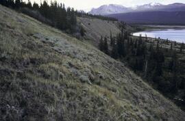
Lower Slims heavy sheep use area

Lower Slims unburned grassland (detail)

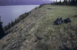
Lower Slims unburned grassland
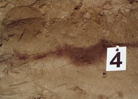
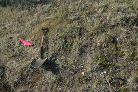
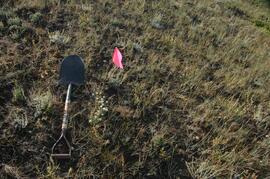
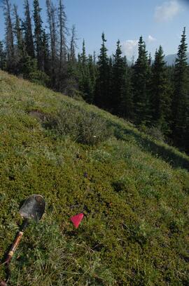
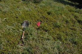
Y03-12
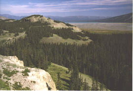
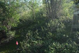
Lower Slims panorama
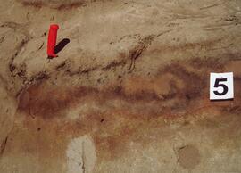
Silver City section (Y03-11) - soil 5
Silver City section (Y03-11) - soil 4
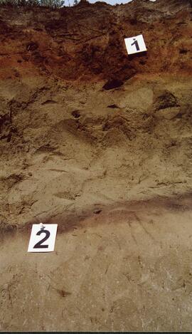
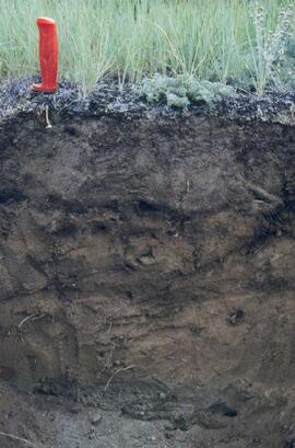
Silver City section (Y03-11) - soils 1 and 2
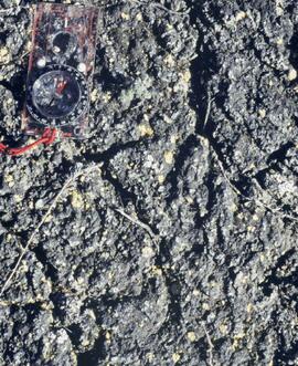
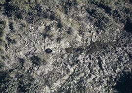
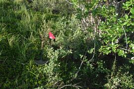
Cryptobiotic soil crust close-up
Cryptobiotic soil crust close-up
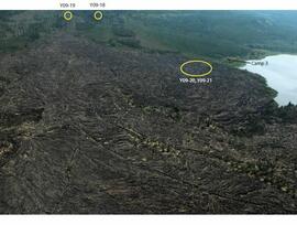
Y09-24 G15 surface
Y09-24 G25 surface
Y09-24-01 profile
Y09-24-06 G5 profile
Y09-27 site view to forest
Y09-27-01 crest surface
Y09-27-05 G20 surface
Y09-27-06 G25 site view

Y09-27-07 F5 site view
Y09-27-08 profile
Y09-27-10 F20 site view
Y09-28-01 profile
Y09-28-03 G20 surface
Y09-28-05 G40 surface
Y09-28-06 G50 surface
Y09-28-07 F10 site view
Y09-28-07 F10 surface
Y09-28-08 F20 site view
Y09-28-08 F20 surface
Y09-24 F15 surface
Physiographic Subdivisions of the Canadian Cordillera North of the Fifty-Fifth Parallel
Physiographic Subdivisions of the Canadian Cordillera North of the Fifty-Fifth Parallel

Carcross Train Station
Miles Canyon? - A River
Miles Canyon? - A River

Miles Canyon - People on a Boat

Miles Canyon - Robert Lowe Bridge
Holocene basalt flows south of Volcano Mountain

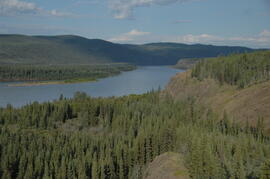
Pelly River and Yukon River confluence
Camp 1, facing west down the Yukon River
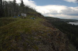
Camp 1, facing east up the Yukon River
View of cabin approximately 0.75 km west of Camp 1

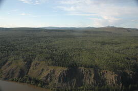
Middle Pleistocene basalt cliffs, facing downstream between Camp 1 and Camp 2

Middle Pleistocene basalt cliffs, facing downstream between Camp 1 and Camp 2
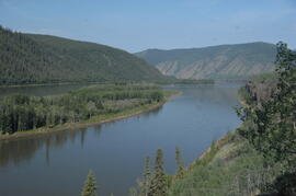
Camp 2, facing west down the Yukon River