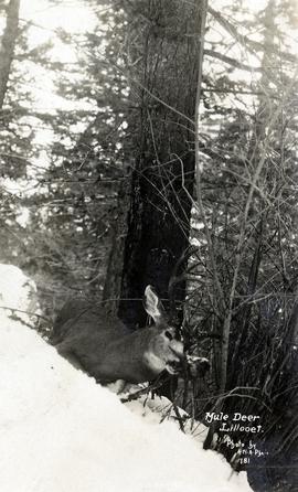
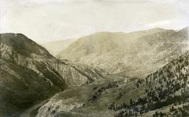
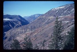
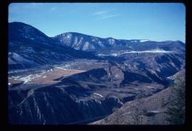
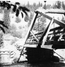
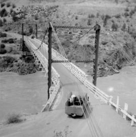
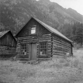
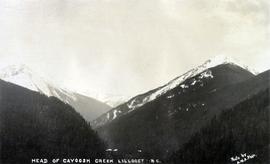
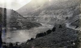
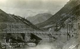
File consists of records created and accumulated by Gary Runka over the course of his consultancy work for Xaxli'p First Nation for the "Consultations on Land and Water Use Issues - Interim Measures Agreement Negotiations" project in Fountain Valley. This file was numbered as G.G. Runka Land Sense Ltd. client file #549; that client number may be seen referenced elsewhere in the G. Gary Runka fonds. The Land Sense Ltd. client files generally include records such as correspondence, contracts, invoices, project reports, publications, ephemera, memoranda, maps or map excerpts, legal documents, meeting materials, clippings, and handwritten notes. File also includes an accompanying 3.5 inch floppy diskette.
Maps include:
- DIAND Federal Treaty Negotiation Office and Ministry of Aboriginal Affairs Information Provision Branch, "Mining Tenures", Nov. 2000 - printed mylar overlay for Fountain Indian Band Traditional Territory map.
- "Logging History" showing BC Hydro Right of Way and areas harvested in various decades, ca. 2000 - printed mylar overlay for Fountain Indian Band Traditional Territory map.
- BC Ministry of Forests, "Fountain Indian Band Traditional Territory", ca. 2000. - and hand-drawn mylar overlay depicting land areas.
- Silva Ecosystem Consultants, "Xaxli'p Ecosystem Based Plan, Xaxli'p Territory - Range Tenures", June 2000.
- Silva Ecosystem Consultants, "Xaxli'p Ecosystem Based Plan, Xaxli'p Territory - Land Unsuitable for Development", June 2000.
- Silva Ecosystem Consultants, "Xaxli'p Ecosystem Based Plan, Xaxli'p Territory - Ecological Sensitivity to Disturbance", June 2000.
- Silva Ecosystem Consultants, "Xaxli'p Ecosystem Based Plan, Xaxli'p Territory - Protected Landscape Network and Xaxli'p Land Use", June 2000.
- Silva Ecosystem Consultants, "Xaxli'p Ecosystem Based Plan, Xaxli'p Territory - Old Growth and Past Logging", June 2000.
- Silva Ecosystem Consultants, "Xaxli'p Ecosystem Based Plan, Xaxli'p Territory - Xaxli'p Land Use", June 2000.
- Silva Ecosystem Consultants, "Xaxli'p Ecosystem Based Plan, Xaxli'p Territory - Xaxli'p Territory", June 2000.
- Silva Ecosystem Consultants, "Xaxli'p Ecosystem Based Plan, Xaxli'p Territory - Past and Planned Logging with Zones of Influence", June 2000.
- Silva Ecosystem Consultants, "Past and Planned Logging with Zones of Influence" printed mylar map, 2000.
- Silva Ecosystem Consultants, "Xaxli'p Land Protection Area", March 2001.
- Silva Ecosystem Consultants, "Proposed Land Protection Area, Xaxli'p Treaty Negotiations" printed mylar overlay, March 2001.
- "Xaxli'p Lands of the Valley Bottom & Adjacent Areas for the Purposes of Interim Agreement - Preliminary Land Status Information Only" hand-drawn mylar map overlay for use with legal map base, Dec. 2000.
- DIAND Federal Treaty Negotiation Office and Ministry of Aboriginal Affairs Information Provision Branch, "Statement of Intent for the Xaxli'p First Nation", January 2001. (confidential for negotiations in 2001).
- BC Ministry of Environment, Lands and Parks, Water Management Branch, "Fountain Creek Community Watershed", Nov. 2000.