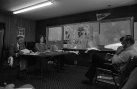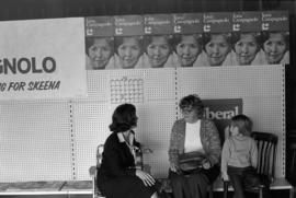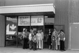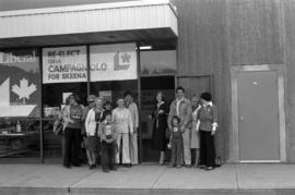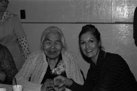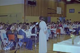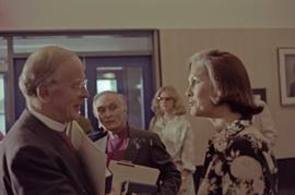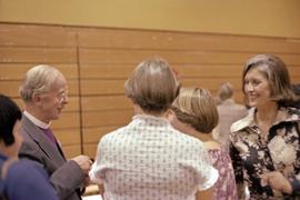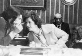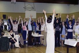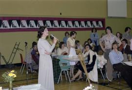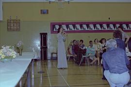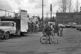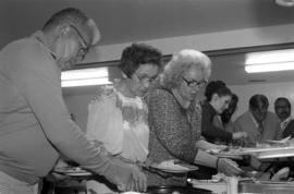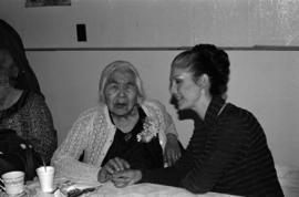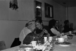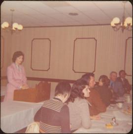
2009.6.1.123
·
Item
·
[ca. 1975]
Part of The Honourable Iona Campagnolo fonds
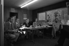
Six unidentified individuals can be seen sitting at table on right.
Handwritten annotations on verso read: “Terrace, April 22”.