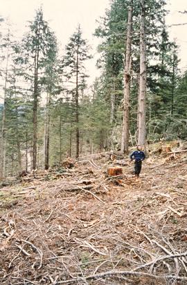
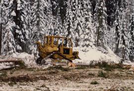
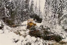
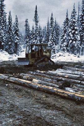
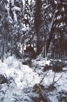
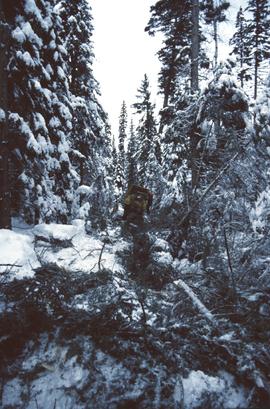
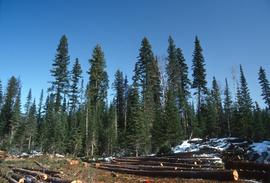
No annotation on slide.
File consists of correspondence to and from the Aleza Lake Research Forest regarding various issues.
Mylar map is a plot map of a research plot at the Aleza Lake Research Forest. Provides date the plot was established, the harvest history, the silviculture history, remeasurement history, and information about individual trees.
Annotation on slide: "BC[?] advance regen. releasing in logged cedar block, ICHwk3"
Mylar map is a plot map of a research plot at the Aleza Lake Research Forest. Provides date the plot was established, the harvest history, the silviculture history, remeasurement history, and information about individual trees.
File consists of a compilation of Experimental Projects in the Prince George Region. This compilation work was done by Stewart Taylor of the Ministry of Forests. Included are Experimental Projects regarding the Aleza Lake Research Forest that were selected from Taylor's larger project, which contained over 400 EP summaries for the Prince George Region.
File consists of minutes and agenda for the following meetings of the Aleza Lake Research Forest Steering Committee:
- 14 June 1994
- 16 Apr. 1996
- 3 Dec. 1996
Also includes the following accompanying documents: - ALRF Forest Renewal BC Research Extension Proposal Synopses for the Period 1997/98 to 2001/02
- ALRF Planning Project [outline of issues]
Mylar map is a plot map of a research plot at the Aleza Lake Research Forest. Provides date the plot was established, the harvest history, the silviculture history, remeasurement history, and information about individual trees.
Annotation on slide: "Lucille Mt. from Mt. Teare, Susan Stevenson, July 1994"
Mylar map is a plot map of a research plot at the Aleza Lake Research Forest. Provides date the plot was established, the harvest history, the silviculture history, remeasurement history, and information about individual trees.
Map depicts historical timber sales areas and permanent sample plots (PSPs) at the Aleza Lake Research Forest. This map may be a guide (or otherwise related) to maps 2006.18.5.43-59.
No annotation on slide.
File contains a trail guide co-published by the BC Forest Service and Northwood Pulp and Timber Ltd. entitled "The North Ridge Eco-Trail Guide: Aleza Lake Research Forest".
No annotation on slide.
Item is a forest cover map for Aleza Lake Research Forest (Special Use Permit 19070). Shows experimental plots and timber sale areas.
No annotation on slide.
File consists of:
- A computer database print-out of photographs held at the Fraser-Fort George Museum that relate to sawmills (as of 1993)
- The Fraser-Fort George Museum's "Northwood Archives Donation Inventory"
Annotation on slide: "Summit Lake trial, Teapot Mountain, Jull".
No annotation on slide.
File consists of:
- Original version of Ralph Schmidt's 1993 BC Forest Service publication entitled "The Aleza Lake Experiment Station (1920's and 1930's)"
File contains a computer print-out of the Aleza Lake Research Forest Management Plan #1 for the years 1992 to 2002, which was prepared by Mike Jull.
File consists of summary information for Aleza Lake Research Forest field tours.
Item is a hand-drawn map of a plot in the Aleza Lake Research Forest. Individual trees are marked and numbered.
Annotation on photograph verso: "South of plots 27, 21. 15/1/92. (Post-logging). Summit Lake Selection Trial"
Annotation on photograph verso: "D-4 tracked skidder. 15/1/92. Summit Lake Selection Trial"
Annotation on photograph verso: "D-4 tracked skidder at Start of B Road. 15/1/92. Summit Lake Selection Trial"
Annotation on slide: "Summit Lake D4H highdrive"
Annotation on slide: "Summit Lake D4H on skid road"
Annotation on slide: "Summit Lake, D4H on narrow skid road".
Annotation on slide: "Summit Lake, D4H skidding logs".
Annotation on slide: "Summit Lake, March 1992".
Annotation on slide: "Summit Lk".
Annotation on slide: "Summit Lake Single-Tree Selection Trial 1992".
Annotation on slide: "20 cm radial growth on released subalpine fir, Summit Lk trial".
Annotation on slide: "Plot 3 uncut control plot, Summit Lake".
Annotation on slide: "Blowdown due to butt rot (tomentosus), Summit Lake".