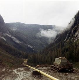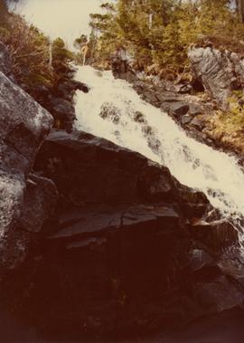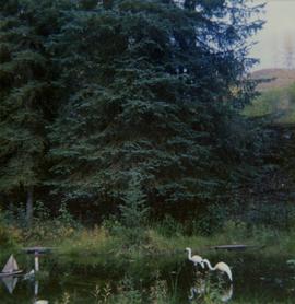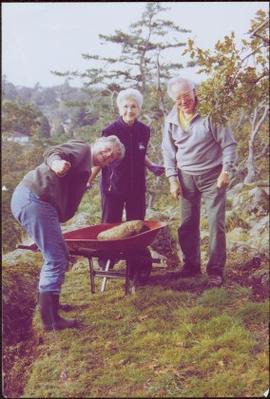
2009.6.1.689
·
Item
·
November 2004
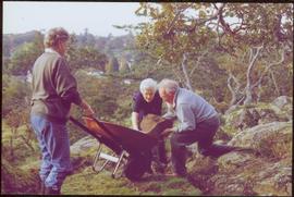
Parte de The Honourable Iona Campagnolo fonds
Photograph was taken at Government House in Victoria, B.C.
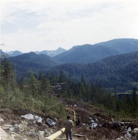
Handwritten annotation on verso reads: “Moving Rocks on the Terraces”.