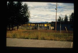
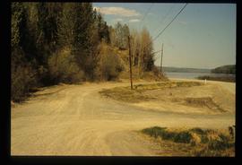
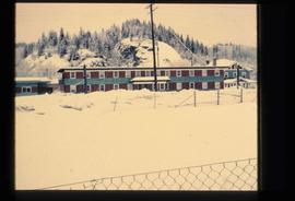
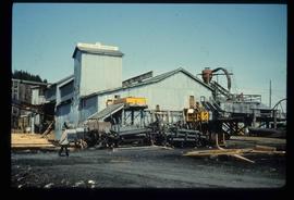
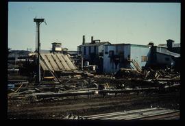
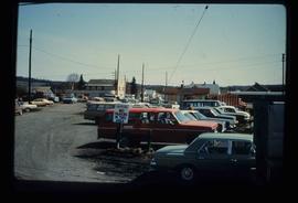
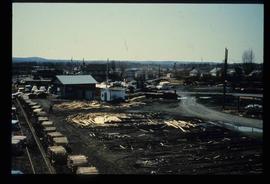
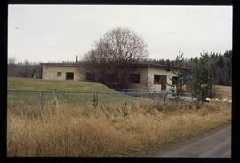
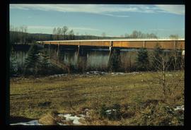
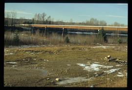
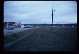
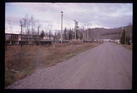
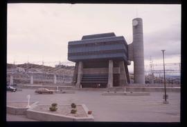
Image depicts the sewage treatment plant in Upper Fraser, B.C. after the closure of the town site. Map coordinates 54°06'51.6"N 121°56'10.2"W
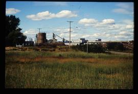
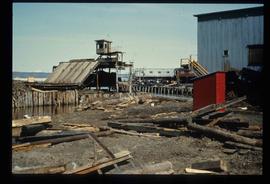
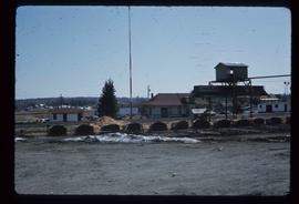
Image depicts numerous log decks at the Upper Fraser sawmill. Map coordinates 54°07'10.8"N 121°56'51.7"W
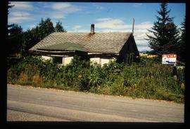
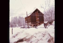
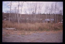
Image depicts an old house for sale surrounded by overgrown bushes in Upper Fraser, B.C. Map coordinates 54°07'15.0"N 121°57'02.0"W
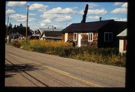
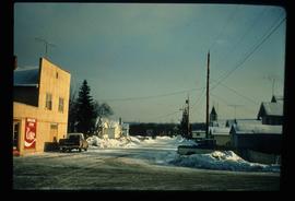
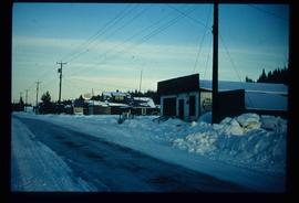
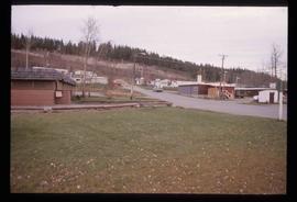
Image depicts a row of buildings in Upper Fraser, B.C. with the store (titled "Paradise") with a Pepsi sign. Map coordinates 54°07'09.1"N 121°56'47.0"W
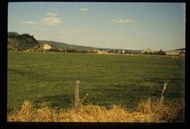
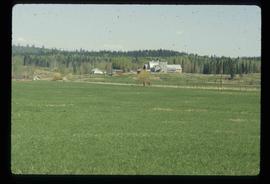
Image depicts a field in Giscome, B.C. On the right side of the image, in the background, is a grey strip that appears to be a mine, possibly the quarry at Eaglet Lake in Giscome, B.C. Map coordinates 54°03'52.9"N 122°22'10.0"W
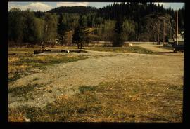
Previous site of sawmill in Giscome, B.C. looking northwest. Map coordinates 54°04'19.7"N 122°22'04.7"W
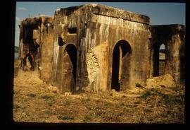
Image depicts several unidentified concrete structures that are badly damaged and cracking, located on old mill site in Giscome, B.C. Map coordinates 54°04'18.0"N 122°22'04.7"W
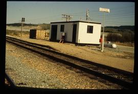
Image depicts the new CN station in Giscome, B.C. Map coordinates 54°04'20.7"N 122°22'01.1"W
Image depicts a street in Giscome B.C. The Giscome Store is located on the left side of the image with the church in the background. Map coordinates 54°04'18.5"N 122°21'57.7"W
Image depicts the former location of the Giscome mill foreman's house on the hill with Eaglet Lake in the background. Map coordinates 54°04'28.0"N 122°22'05.8"W
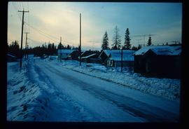
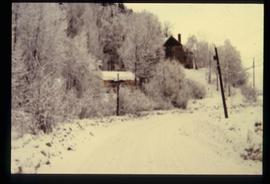
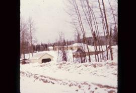
Image depicts a snowy road at an uncertain location.
Image depicts a snowy street in Willow River, B.C. There are several buildings, one is an Esso station and another is labelled as "Red & White Food Store."
Image depicts a snowy street in Willow River, B.C. with a row of houses. The white building on the end with the Pepsi sign is the Willow River General Store. Map coordinates 54°04'18.3"N 122°28'14.7"W
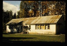
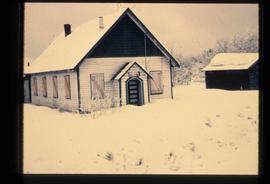
Image depicts a two-room schoolhouse in Penny, B.C.
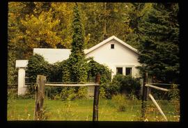
Image depicts a house with ivy growing over it. The location is uncertain.
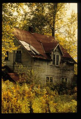
Image depicts an old house with a torn up roof. The location is uncertain.
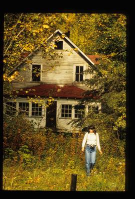
Image depicts an old house in Penny and a woman, possibly Sue Sedgwick, standing in front of it. The location is uncertain.
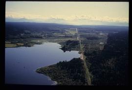
Image depicts an aerial view of a lake, and what appears to be a set of railway tracks running towards the mountains in the distance. The location is uncertain.
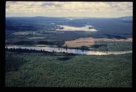
Image depicts an aerial view of several lakes and their surrounding areas at an uncertain location.
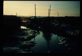
Image depicts what appears to be a small, narrow river, and mounds of snow. The location is uncertain.
Image depicts the Giscome bunkhouse in Giscome, B.C. Map coordinates 54°04'17.6"N 122°22'06.1"W
Image depicts the Giscome Community Hall in Giscome, B.C. Map coordinates 54°04'18.5"N 122°21'57.7"W
Image depicts the Giscome mill foreman's house on the hill. Map coordinates 54°04'28.0"N 122°22'05.8"W
Image depicts a dock at an inlet of Eaglet Lake in Giscome, B.C. There are numerous logs and other pieces of wood scattered in the foreground. Map coordinates 54°04'34.9"N 122°21'50.0"W
Image depicts the mill site at Giscome, B.C. Map coordinates 54°04'19.7"N 122°22'04.7"W
Image depicts the mill site at Giscome, B.C. Map coordinates 54°04'19.7"N 122°22'04.7"W
Image depicts a parking lot full of vehicles with the Giscome store in the background. Map coordinates 54°04'18.5"N 122°21'57.7"W
Image depicts the Giscome, B.C. mill site looking west. Map coordinates 54°04'18.5"N 122°21'57.7"W
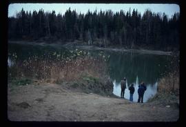
Image depicts four unidentified individuals standing on the bank of a river, possibly the Fraser, somewhere in or near Penny, B.C.
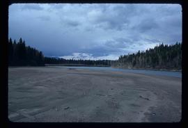
Image depicts a river, possibly the Fraser, near Penny, B.C.
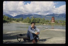
Image depicts Kent Sedgwick sitting on the bank of a river. An old beehive burner is visible in the background. Located somewhere in or near Penny, B.C.
Image depicts what is possibly the community of Newlands, B.C.
Image depicts a barn full of hay and several cows, possibly near Newlands, B.C.
Image depicts the CN Station, with bundles of wood sitting near the tracks, in Giscome, B.C. Map coordinates 54°04'32.3"N 122°21'42.3"W
Image depicts the dairy farm in Giscome, B.C. Map coordinates 54°03'53.3"N 122°21'22.6"W
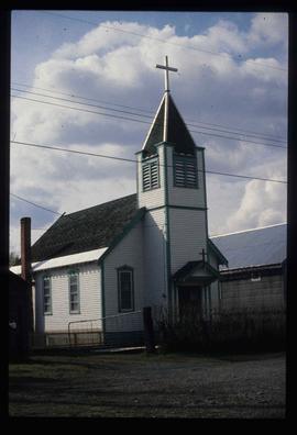
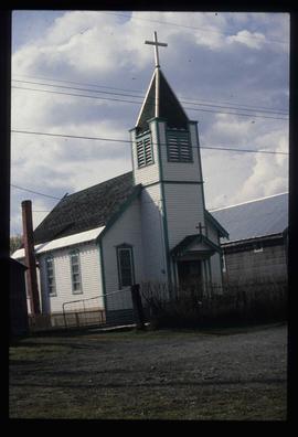
Image depicts a Catholic church in Giscome, B.C. Map coordinates 54°04'15.5"N 122°21'52.1"W
Image depicts a Catholic church in Giscome, B.C. Map coordinates 54°04'15.5"N 122°21'52.1"W
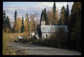
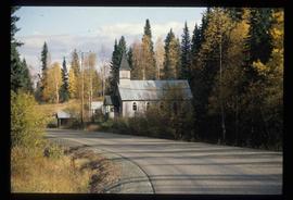
Image depicts the Oblates of Mary Immaculate Catholic Church in Aleza Lake, B.C. Map coordinates 54°07'08.2"N 122°02'00.0"W
Image depicts the Oblates of Mary Immaculate Catholic Church in Aleza Lake, B.C. Map coordinates 54°07'08.2"N 122°02'00.0"W
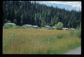
Image depicts a row of houses in Upper Fraser, B.C. Map coordinates 54°06'51.6"N 121°56'26.3"W
Image depicts a cookhouse at an uncertain location.
Image depicts the new Hansard Bridge. Map coordinates 54°04'57.9"N 121°51'10.1"W
Image depicts the new Hansard Bridge. Map coordinates 54°04'57.9"N 121°51'10.1"W
File contains slides depicting a hike near the Geraldine Lakes.
Image depicts a street of shops at an uncertain location somewhere in the Peace River Regional District. A pink and blue building, possibly a theatre, is labelled "Lux."
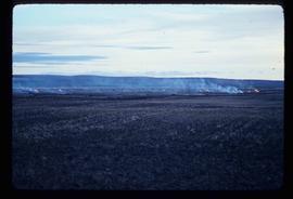
Image depicts grass burning at an uncertain location in the Peace River Region.
Image depicts a cabin and several other buildings, possibly located in Hudson's Hope, B.C.
Image depicts a road and numerous buildings in Hudson's Hope, B.C.
Image depicts a street in Hudson's Hope, B.C.
Image depicts the W.A.C. Bennett Dam in Hudson's Hope, B.C.
