Item is an original 1961 partial map depicting Giscome, published by the Army Service Establishment, R.C.E. Map includes pen markings.
File consists of notes, reproductions, and clippings relating to the cemetery in Prince George. Includes: "Landscape of the Past: A brief history of the Prince George municipal cemetery" photocopied essay by Gary McKivett (1999); "RE: SFG cemetery" printed email from Robin and Barbara Fairservice to Kent Sedgwick (8 July 2008); "City of Prince George Memorandum" typescript document from the Heritage Advisory Committee (14 Mar. 1991); "The Prince George Family History Society" brochure (1991); and "City of Prince George by-law no.732" reproduction of a typescript document (Dec. 1953). Also includes "Plan of subdivision of part of Lot 925" a map reproduction depicting the lots beside the Fraser River and the original cemetery (1910).
File contains slides depicting a caving group in various places in West Virgina, USA.
File contains slides depicting the Peyto Glacier.
File contains slides depicting vegetation and a few maps.
File contains slides depicting the Ram Glacier.
Item consists of three maps pieced together to depict Anahim Lake, Bella Coola, and Quesnel in British Columbia originally published by the Department of Lands, Forests and Water Resources in Victoria B.C.
File contains slides depicting areas in and around the Rockies, Icefield Highway, and Jasper, Alberta.
File consists of a bound thesis titled "Geomorphology and Mass Budget of Peyto Glacier, Alberta" by John Kent Sedgwick submitted for his 1966 Master of Arts at McMaster University.
Image depicts a marker for aerial photography at an uncertain location. The slide labels it as "Elizabeth Station."
Item is an original 1966 map depicting Quesnel British Columbia, published by the Department of Lands, Forests and Water Resources in Victoria.
File contains slides depicting various places located across Canada.
File contains slides depicting various types of instruments at various locations, including Willow River.
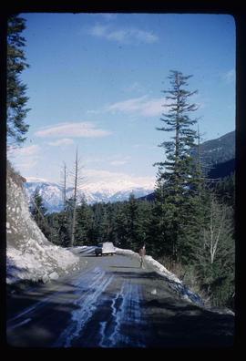
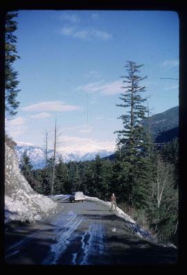
Image depicts a road located somewhere near Birken, B.C.
Image depicts the Place Glacier.
Image depicts the Place Glacier.
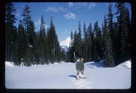
Image depicts an unknown individual at the Place Glacier.
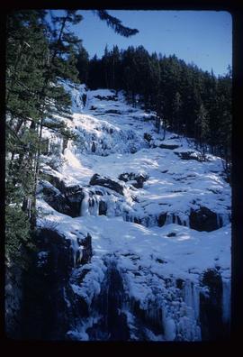
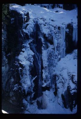
Image depicts the mostly frozen Place Creek Falls.
Image depicts the mostly frozen Place Creek Falls.
File contains slides depicting the Woolsey and Place Glaciers.
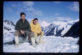
Image depicts two unknown individuals at the Place Glacier.
File contains slides depicting scenery at various locations.
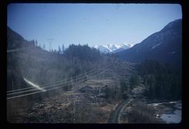
Image depicts some power lines and a forest somewhere near Birken, B.C.
Image depicts the Place Glacier. There are two unknown individuals present.
Image depicts two unknown individuals at the Woolsey Glacier.
File consists of notes, reproductions, pamphlets, and postcards relating to the Peyto Glacier, situated in the Canadian Rockies in Banff National Park, Alberta. Includes: "Inland Waters Branch" handwritten letter to Kent Sedgwick (4 Sept. 1970); "Peyto Glacier general information" pamphlet prepared by the Inland Waters Directorate, Water Resources Branch of Environment Canada (1975); and photographs depicting a Peyto Glacier workshop with Kent Sedgwick and colleagues (1996) and personal photographs depicting Kent Sedgwick, his wife, and friends visiting and hiking Peyto Glacier (1990).
Item is an original 1967 map depicting Prince George in British Columbia, published by the British Columbia Department of Lands, Forests and Water Resources. Map includes pen markings.
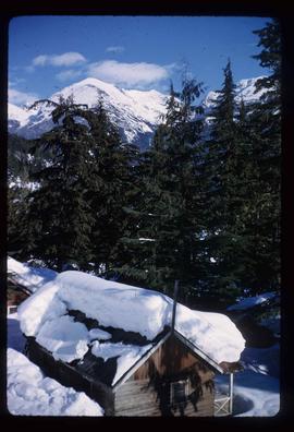
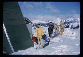
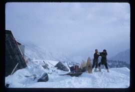
Image depicts a snow-covered cabin and a mountain in the distance. It is located somewhere near Birken, B.C.
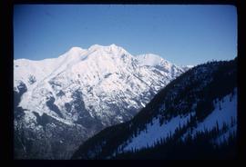
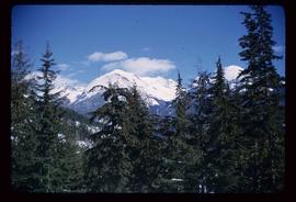
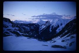
Image depicts a mountain in the distance. It is located somewhere near Birken, B.C.
Image depicts a road located somewhere near Birken, B.C.
Image depicts the Place Glacier.
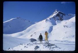
Image depicts the Place Glacier. There are two unknown individuals present.
Image depicts two unknown individuals at the Woolsey Glacier.
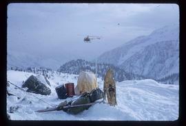
Image depicts a helicopter flying over the Woolsey Glacier.
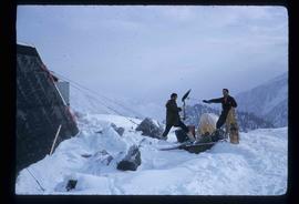
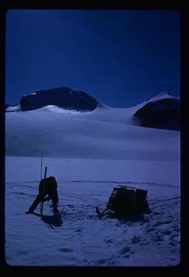
Image depicts an unidentified individual setting up some sort of pole in the snow for a process the slide labels as "snow sounding." The location is uncertain.
File contains slides depicting physical landscape features at various locations, most are from outside Northern B.C.
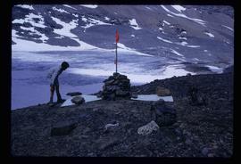
Image depicts an unidentified individual standing next to a marker and a stake at an uncertain location.
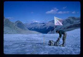
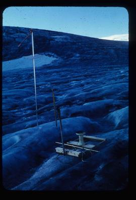
Image depicts objects, including a flag pole, that the slide labels as "survey equipment." The slide also places it as a "Peyto icefall," on the Peyto Galcier in the Banff National Park in Alberta, B.C.
File contains slides depicting numerous recreational locations from various places in Canada.
File consists of a pamphlet titled "The Fort Fraser-Fort George Bulletin Area" prepared by the Department of Lands, Forests, and Water Resources from the Province of British Columbia.
Item is an original 1968 map depicting British Columbia and its reliefs, including hills, valleys, and mountains across the province. The map was published by the British Columbia Department of Lands, Forests and Water Resources.
File consists of notes, clippings, and reproductions relating to Quesnel, Barkerville, and Wells. Includes: "An Historic Walk of Carson Avenue, Quesnel, B.C". pamphlet prepared by the Quesnel Branch Cariboo Historical Society (1990); "Wells, B.C". pamphlet by the Wells Historical Society (1980); "Cottonwood House Provincial Historic Park" pamphlet by the Province of British Columbia (1980); and vol. 1 of the Cariboo Gazette newspaper (2002). Also includes a map depicting Bowron Lake Park in British Columbia (1968).
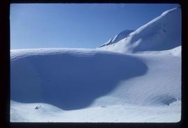
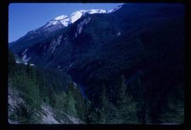
Image depicts a scenic view of a mountain and forest at an uncertain location.
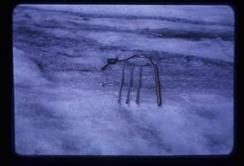
Image depicts a hand-held ice drill.
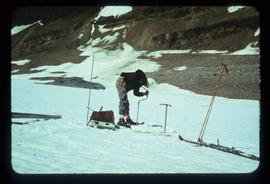
Image depicts an unidentified individual drilling into the ice.
Item is an original 1969 map depicting Taseko Lakes in British Columbia, published by the Department of Energy, Mines and Resources in Ottawa Canada.
Item is an original 1969 map depicting Bonaparte Lake in British Columbia, published by the Department of Energy, Mines and Resources in Ottawa Canada.
Item is an original 1969 map depicting Prince George British Columbia, published by the Department of Energy, Mines and Resources in Ottawa.
File consists of maps and aerial photographs of Prince George. Includes: "Record of gift" typed document to Kent Sedgwick (10 July 1989); "Map showing topography of the incorporated area of Prince George" reproduction of a map depicting topography and lot areas of Prince George, originally drawn 1926; BC5553 No 237" aerial photo reproduction depicting Prince George [ca. 1980]; "Prince George September 1969" aerial photo reproduction (Sept. 1969); and "3rd and Johnson" reproduction of an aerial photo depicting 3rd Avenue and Johnson St in Prince George [ca. 1970]."
Item is an original 1969 map depicting Mount Waddington in British Columbia, published by the Department of Energy, Mines and Resources in Ottawa Canada.
