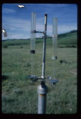
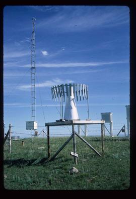
Image depicts an atmometer. According to the slide, it is being used for measuring the rate of water evaporation "from carborundum stone." The location is uncertain.
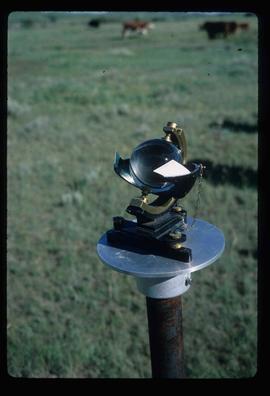
Image depicts a sunshine recorder at an uncertain location.
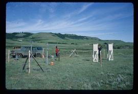
Image depicts two unidentified individuals and a van on a farm at an uncertain location, possibly a place called Cypress Hill, with an atmometer and a sunshine recorder.
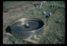
Image depicts an evaporation pan for water evaporation measurements. The location is uncertain.
Image depicts a snow gauge at an uncertain location.
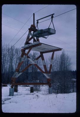
Image depicts the cableway in Willow River, B.C.
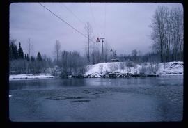
Image depicts the cableway, stretching over a river, in Willow River, B.C.
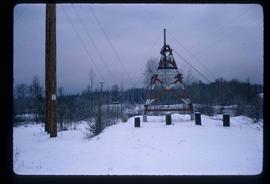
Image depicts the cableway in Willow River, B.C.
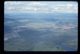
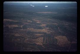
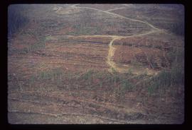
Image depicts an aerial view of areas that have been used for logging around Prince George, B.C.
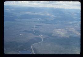
Image depicts an aerial view of the Ahbau area somewhere near Prince George, B.C.
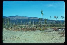
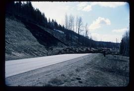
Image depicts a highway, and a section of mountain in the background which is bare due to clear-cut logging. It is possibly somewhere near Prince George, B.C.
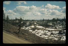
Image depicts a logging area, and a section of mountain in the background which is bare due to clear-cut logging. The slide is also labelled "logging show." It is possibly somewhere near Prince George, B.C.
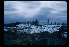
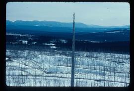
Image depicts a logging area somewhere near Prince George, B.C.
Image depicts a logging area somewhere near Prince George, B.C.
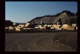
Image depicts numerous piles of wood planks at the Canadian National Railway Yards in Prince George, B.C. The cutbanks are seen in the background.
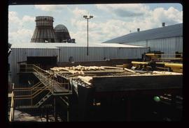
Image depicts logs being stripped of their bark at a saw mill in Prince George, B.C.
Image depicts a tractor with a claw lifting logs at a saw mill in Prince George, B.C.
Image depicts numerous logs that have been stripped of their bark at a saw mill in Prince George, B.C.
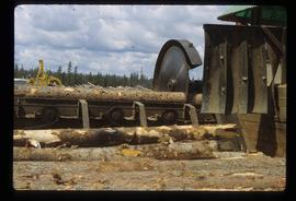
Image depicts a saw cutting a log in half at a saw mill in Prince George, B.C.
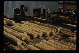
Image depicts numerous stripped logs and several unidentified individuals in hard hats at a saw mill somewhere in Prince George, B.C.
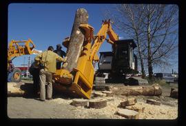
Image depicts two unidentified individuals examining a thick log still attached to the machine that cut it down. It is located somewhere in Prince George, B.C.
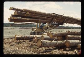
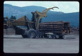
Image depicts a piece of heavy machinery lifting numerous logs. It is likely located in Prince George, B.C.
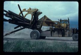
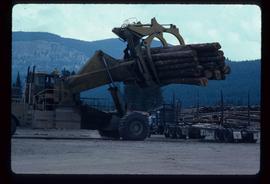
Image depicts a piece of heavy machinery lifting numerous logs off the back of a logging truck. It is likely located in Prince George, B.C.
Image depicts a piece of heavy machinery lifting numerous logs off the back of a logging truck. It is likely located in Prince George, B.C.
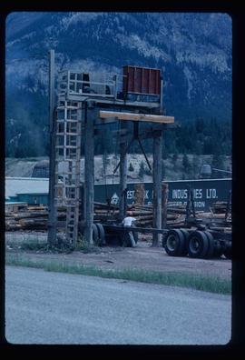
Image depicts a man attaching a logging trailer to a crane on a wooden structure to stack the trailer on the truck. A Crestbrook Forest Industries sawmill is located in the background.
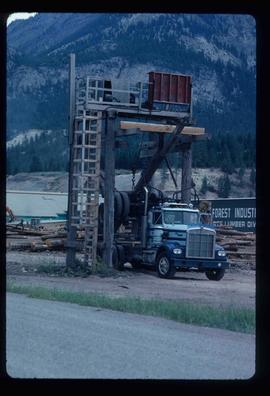
Image depicts a logging truck with its trailer being attached on top of it. A Crestbrook Forest Industries sawmill is located in the background.
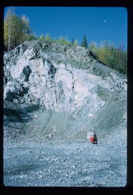
Image depicts what is possibly an intrusive volcanic landform somewhere near Miworth, B.C.
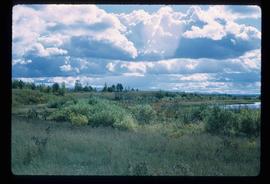
Image depicts the shore line and surrounding land of a lake or river at an airport, possibly in Prince George, B.C.
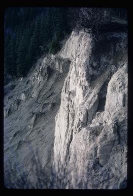
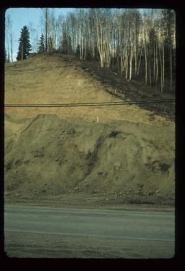
Image depicts a cutbank on the Nechako River in Prince George, B.C.
Image depicts an esker at Bednesti Lake, B.C.
Image depicts a crevasse filling ridge somewhere in the Bulkley Valley, B.C.
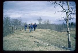
Image depicts a group of unidentified individuals walking along a crevasse filled ridge somewhere in the vicinity of Smithers, B.C. The slide also labels it as a "drift ridge."
Image depicts an esker at Bednesti Lake, B.C.
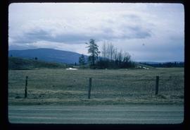
Image depicts a small slope on Carney Hill in Prince George, B.C.
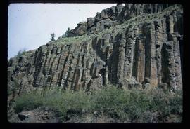
Image depicts a basalt landform somewhere in or near Quesnel, B.C.
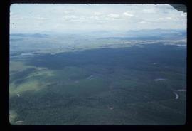
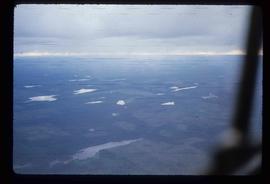
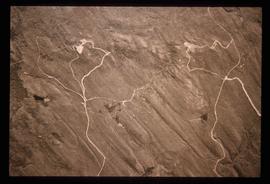
Image depicts an aerial view of a grooved region of land at an uncertain location.
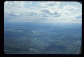
Image depicts an aerial view of a grooved region of land at an uncertain location.
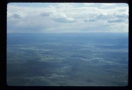
Image depicts an aerial view of a grooved region of land at an uncertain location.
Image depicts an aerial view of a grooved region of land at an uncertain location.
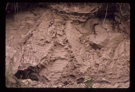
Image depicts an example of varves, an annual layer of sediment or rock, possibly located at the airport in Prince George, B.C.
Image depicts an example of varves, an annual layer of sediment or rock, with a pipe used for reference size. It is possibly located at the airport in Prince George, B.C.
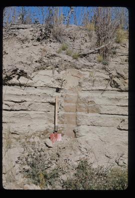
Image depicts sand beds with a shovel present for size reference. The slide places it at the "BCR site," possibly in Prince George, B.C.
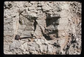
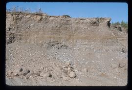
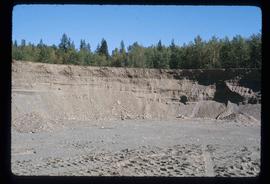
Image depicts layers of gravel at the BCR site in Prince George, B.C.
Image depicts layers of gravel at the BCR site in Prince George, B.C.
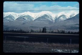
Image depicts truncated spurs somewhere near McBride, B.C.
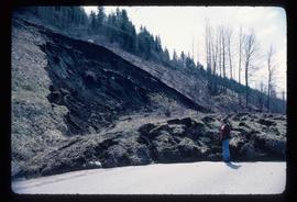
Image depicts an earth flow north of Stone Creek, B.C.
Image depicts an earth flow north of Stone Creek, B.C.
Image depicts grooving on Tabor Mountain in Prince George, B.C.
Image depicts grooves on Tabor Mountain in Prince George, B.C.
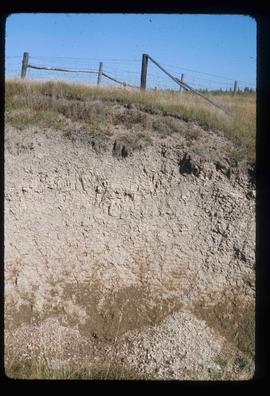
Image depicts layers of silt along the Chilako River near Blackwater Road, Prince George, B.C.
