2013.6.36.1.043.14
·
Item
·
[17 July 1967]
Part of David Davies Railway Collection
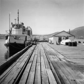
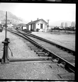
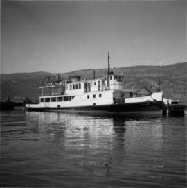
Photograph depicts a CN Tug "Pentowna" at the CN slip on Lake Okanagan, which was used as a stand-by. The boat was built in 1926 in Prince Rupert as a steam screw passenger ship.