File contents relate to: Engineering. Document type(s) include: drawings.
File contents relate to: Engineering. Document type(s) include: blueprints. Notes: File#205-01-02.
Group of people posing outside a Hudson Bay Company building, Nunavut
File contents relate to: Mine Maintenance Issues. Document type(s) include: report. Notes: budget for projects.
Image depicts a highway, and a section of mountain in the background which is bare due to clear-cut logging. It is possibly somewhere near Prince George, B.C.
Image depicts a logging area, and a section of mountain in the background which is bare due to clear-cut logging. The slide is also labelled "logging show." It is possibly somewhere near Prince George, B.C.
Branches of <i>Populus</i> frame lake view, Takla Lake, Northern British Columbia
Sunset over still lake and its woodland shore
Photograph shows a clearcut at or near Aleza Lake Research Forest in spring season.
Slide depicts a cleared area at the Aleza Lake Experiment Station with plant regeneration.
Photograph depicts cleared area of forest, vehicle tracks visible in the mud, and a large dirt area in midground.
Clouds blowing away from mountain peak, Alpine Club of Canada's 1967 Yukon Alpine Centennial Expedition, Kluane National Park, Yukon
Image depicts a clearing at Island Cache.
File contents relate to: Mine Maintenance Issues. Document type(s) include: report. Notes: budget for projects.
Slide depicts a cleared area in a forest, likely at the Aleza Lake Experiment Station.
Photograph depicts tree stumps in forest clearing of the railway right-of-way.
Photograph depicts stumps and log piles in forest clearing of the railway right-of-way.
Photograph depicts men walking among stumps and log piles in forest clearing of the railway right-of-way.
Photograph depicts smoke, stumps and log piles in forest clearing of the railway right-of-way.
Photograph depicts a river, riverbank, forest and treed rolling hills.
Photograph depicts a scow with several men in the center of a river.
Photograph depicts opposite shore in background behind river, and close shore in foreground on right. Men can be seen standing and paddling on canoe in distance. Handwritten photo caption on verso and recto of this photograph reads: "On the Clearwater".
Photograph depicts opposite shore in midground behind river, tree-covered hills in background. Handwritten photo caption on verso and recto of this photograph reads: "On the Clearwater".
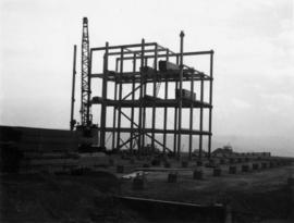
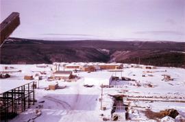
Series consists of the client file project records of G.G. Runka Land Sense Ltd., Gary Runka's consultancy business (co-owned with Joan Sawicki until 1991). G.G. Runka Land Sense Limited was incorporated as a company on 30 Nov. 1978 and dissolved on 30 Nov. 2018. Most business activity ceased after Gary Runka's death in July 2013. The company provided comprehensive professional services in land inventory, environmental assessment, integrated resource management, land and water use conflict resolution and interdisciplinary land use planning. Over the course of the company's operation, Gary Runka and his firm consulted on 681 assignments ranging from very large projects (such as the Site C project) to small residential/commercial land capability assessments.
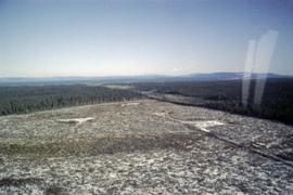
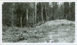
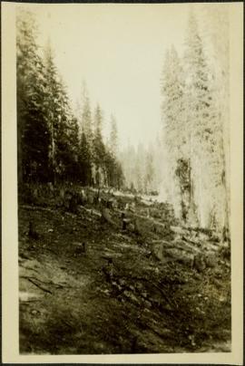
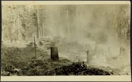
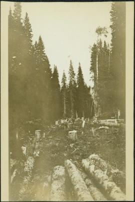
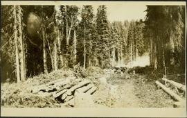
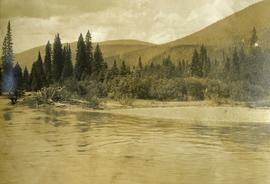
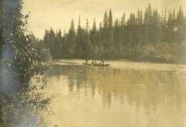
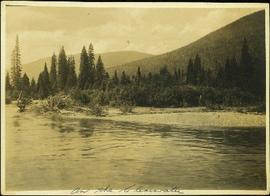
The Land Sense Ltd. client files generally include records such as correspondence, contracts, invoices, project reports, publications, ephemera, memoranda, map excerpts, legal documents, meeting materials, clippings, and handwritten notes. Some client files are accompanied by related maps, photographs, aerial photographs, and/or digital records on storage media.
Kalamalka Lake Provincial Park, Okanagan region of British Columbia
Image depicts a camper parked on the side of a narrow road along a cliff as another car approaches; located somewhere near Bralorne, B.C.
Image depicts a camper passing under an overhang as it drives along a narrow road near a cliff; located somewhere near Bralorne, B.C.
Item is an original Canada Department of Agriculture Publication 1190 entitled "Climate and Agriculture in Central British Columbia".
This unpublished document from the BC Ministry of Environment, Lands and Parks Communications Branch collates information about the issue of climate change circa the year 2000. Includes polling highlights from a poll of BC residents about climate change in 1998; a summary of points about media interest in climate change circa 1998-2000; and a short listing of supportive business comments on climate change circa 1999-2000.
Videotape contains footage of: 13-Jan-03 - Climate change panel with Environment Minister David Anderson
Item is an original Canada Department of Agriculture Publication 1434 entitled "Climate of the Lower Peace River Region".
Item is an original Canada Department of Agriculture Publication 1224 entitled "Climate of the Upper Peace River Region".
Wales, Great Britain
Butterfly on a blade of grass
Image depicts a climbing either up or down a rock face.
Climbing trail visible in snow beneath peak
Postcard depicts Field station in the Rockies. Man standing on the left with a bowler hat was Chris McGregor, a professional (mining?) engineer. Earliest frank seen for the postcard was in July 1906.
Image depicts a view of the scenery near Clinton, B.C.