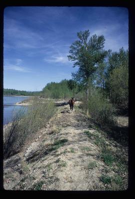
Image depicts a horse on Cottonwood Island.
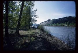
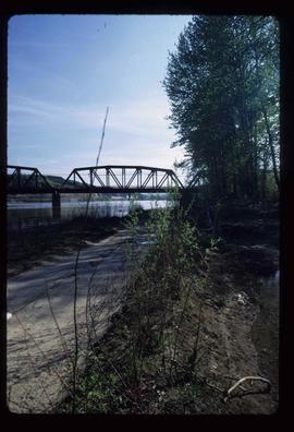
Image depicts the Nechako River from Cottonwood Island.
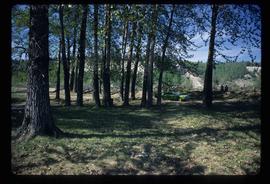
Image depicts a green car among some trees on Cottonwood Island.
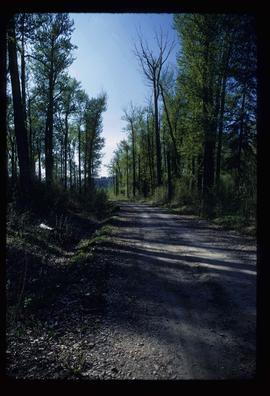
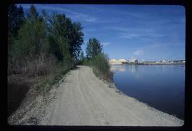
Image depicts a nature trail on Cottonwood Island.
Image depicts a nature trail on Cottonwood Island.
Image depicts a nature trail on Cottonwood Island.
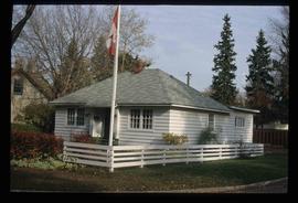
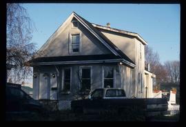
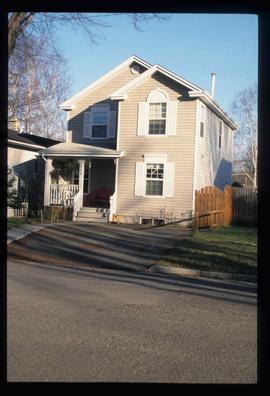
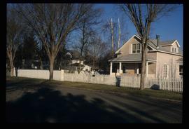
Image depicts a view of the Millar Addition suburb in Prince George, B.C.
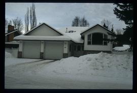
Image depicts 1480 Birch Street in Prince George, B.C.
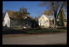
Image depicts some of the 1445 Elm Street and 1425 Elm Street houses in the Millar Addition neighbourhood of Prince George, B.C.
Image depicts 1690 Dogwood Street, on the corner of 17th Ave and Dogwood St. in Prince George, B.C. Also depicts a portion of 1670 Dogwood Street at left.
Image depicts a view of the Millar Addition suburb from Connaught Hill in Prince George, B.C.
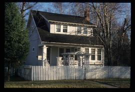
Image depicts 1532 Fir Street in Prince George, B.C.
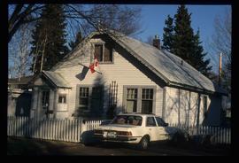
Image depicts 1598 Fir Street in Prince George, B.C.
Image depicts 1488 Gorse Street in Prince George, B.C.
Image depicts 1386 Ingledew Street in Prince George, B.C.
Image depicts 1354 Ingledew Street in Prince George, B.C.
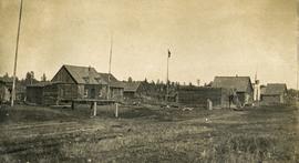
Photograph depicts a cluster of wooden buildings including a flagpole and church spire at a Lheidli T'enneh village site. Original photo identified this image as "Indian Village, Fort George".
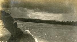
Photograph depicts view of the river from a boat. There is a silhouette of a person wearing a hat in the foreground.
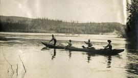
Photograph depicts four men paddling a long canoe. The canoe is loaded with supplies and a dog, river and forest in the background.
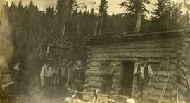
Photograph depicts six men standing outside a small log building. A sawhorse in the foreground, a tall pole "cache" and forest in the background.
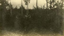
Photograph depicts one man standing on the bank of a river, forest in the background. The image is not in focus or possibly a double exposure.
Photograph depicts eighteen or more canvas tents scattered on the river shore next to rough cabins and an outhouse.
In 1936, Gordon Young Wyness was employed by Philip M. Monckton, a B.C. Land Surveyor. Between June 5 and October 8, Wyness joined Monckton and a group of others on a land survey expedition in northwestern BC. The survey crew travelled to various locations in the area including Telkwa, Hazelton, Burns Lake, Francoise Lake, Vanderhoof, Prince George, Quesnel, Lytton, and Hope. Wyness documented their journey in this photograph album. Based on the photographs, it appears that the crew led by Philip Monckton consisted of Jack Lee and Gordon Wyness; Mrs. Lavender Monckton (nee O'Hara) also accompanied the group.
In addition to the 50 photographs included in the album, this collection also includes five additional unique photographs that accompanied the album.
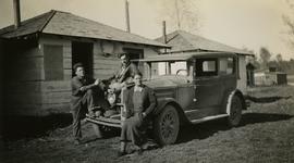
Sin títuloPhotograph depicts (from left to right) Jack Lee, Gordon Wyness, and Lavender Monckton sitting on their 1930 Buick Series 40 car in front of their temporary cabin lodgings in Prince George. This photograph was taken before the group left Prince George to head to 6 Mile Lake or Tabor Lake.
Item is a hand drawn and coloured map by the City of Prince George Planning Department depicting the North Nechako and Hart neighbourhood area proposed land use in 1976.
Item is a hand drawn and coloured map by the City of Prince George Planning Department depicting existing land use for the Van Bow neighbourhood area.
Item is a map depicting a future medium density development plan for the Peden Hill neighbourhood in Prince George.
Item is Map 2 of a group of five maps relating to a City of Prince George Study of Construction Aggregates by the firm Willis, Cunliffe, Tair & Company Limited. Map 2 shows development areas and aggregate requirements for 1984 and 1994. As the map is undated, it is unclear whether the 1984 and 1994 dates are future estimates.
Item is Map 5 of a group of five maps relating to a City of Prince George Study of Construction Aggregates by the firm Willis, Cunliffe, Tair & Company Limited. Map 5 shows drill hole locations.
This map is part of Schedule B of the 1993 Official Community Plan, Bylaw No. 5909 for the City of Prince George. This particular map depicts the central area of the City of Prince George, including the Bowl area, the VLA, the Crescents, South Fort George, Heritage, and Peden Hill.
This map is part of Schedule B of the 1993 Official Community Plan, Bylaw No. 5909 for the City of Prince George. This particular map depicts the northwest area of the City of Prince George, including the North Nechako neighbourhood and the Hart.
This map is part of Schedule B of the 1993 Official Community Plan, Bylaw No. 5909 for the City of Prince George. This particular map depicts the southwest area of the City of Prince George, including College Heights, UNBC, University Heights, and Vanway.
This map is the May 2006 amendment (Bylaw 7807) of the Schedule C of the 2001 Official Community Plan, Bylaw No. 7281 for the City of Prince George. This Schedule C map shows the long range land use for the City of Prince George.
Forest cover map showing a crossing area of the McGregor River is annotated with a road and ferry crossing.
Slide depicts a man operating heavy equipment in a forest, likely at the Aleza Lake Experiment Station.
Slide depicts a sawmill in operation, likely located in the Upper Fraser area, with a pile of burning wood products and a beehive burner.
Slide depicts a bulldozer clearing ground, likely at the Aleza Lake Experiment Station.





![City of Prince George - Schedule C of the Official Community Plan - Long Range Land Use Map [May 2006 Amendment]](/uploads/r/northern-bc-archives-special-collections-1/6/5/5/65536bc04aa97580c140131651dc357dfe5c3a1315822394f388d96940bc39cb/2023.5.1.39_-_2006_May_-_City_of_Prince_George_Long_Range_Land_Use_Map_JPG85_tb_142.jpg)


