Showing 56227 results

Archival description
23671 results with digital objects Show results with digital objects
2006.20.12.47 · Item · [ca. 1940]
Part of Northern BC Archives Historical Photograph Collection

Handwritten photo album caption below this photo reads: "D.O.T [Department of Transportation?] Bldgs & Garage, Whitehorse." Photograph depicts numerous buildings and a four-door garage on streets in Whitehorse. Dump trucks and other various vehicles surround garage. Road and gravel covered area crosses foreground.

Royal Canadian Air Force
Buildings and Structures
2006.20.2 · File · ca. 1962
Part of Northern BC Archives Historical Photograph Collection

Photographs within this file pertain to specific buildings (i.e. residences, commercial, factories, courthouses, community centres, jails, arenas, hotels); monuments, statues and shrines; bridges and trestles; and building management and construction of buildings throughout northern British Columbia.

2012.13.2.15.02.17 · Item · 2006
Part of J. Kent Sedgwick fonds

The photograph depicts three buildings, white, beige, and blue at the Prince George airport. Annotations on the photograph describe the buildings as, "RCMP, airport terminal building, [and] small arms building."

2013.6.36.1.026.06 · Item · [22 June 1979]
Part of David Davies Railway Collection
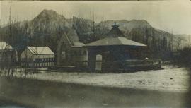
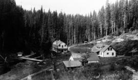
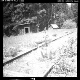
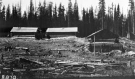
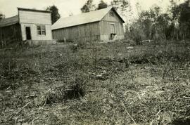
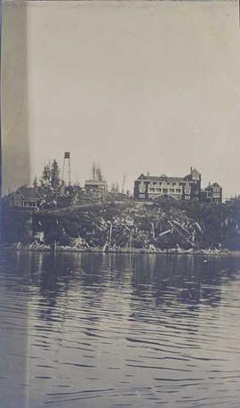
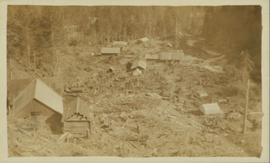
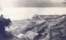
Photograph depicts a possible storage and coal shed, and toilets located on the west side of track about a quarter mile north of the McCulloch depot building. McCulloch depot is located at mile 76.6 on the Carmi Subdivision.

Buildings in Newlands, BC
2012.13.1.87.101 · Item · [between 1975 and 1995]
Part of J. Kent Sedgwick fonds

Image depicts several old buildings in a field, one of which has a caved-in roof, in Newlands, B.C. Map coordinates 54°06'28.2"N 122°12'01.0"W

2012.13.1.87.067 · Item · [between 1975 and 1995]
Part of J. Kent Sedgwick fonds

Image depicts a row of buildings in Upper Fraser, B.C. with the store (titled "Paradise") with a Pepsi sign. Map coordinates 54°07'09.1"N 121°56'47.0"W

2013.07.012 · Item · [1942?]
Part of Alaska Highway Construction Album

Photograph depicts multiple wooden buildings on the shore of still water. Deciduous trees line the shore and the area around the structures has been cleared. Still water shows reflection of trees and cabins. Photos depict a distance of water suggesting the waterfront is on a lake or a slow, wide river.

Bulkley Sheet
2008.2.020 · Item · 1937
Part of NBCA Cartographic Collection

Colour-coded map depicts lands surveyed as alienated, available for purchase or lease under Taxation Act, or reserved. Depicts land district boundaries, land recording divisions, triangulation stations, telegraph/telephone lines, communities, bodies of water, and transport routes.

2003.8.4.06 · Subseries · 1970-1982
Part of Adam Zimmerman fonds

Subseries consists of records regarding Bulkley Valley Forest Industries that were created or accumulated by Adam Zimmerman during his tenure as President of Northwood Pulp, the parent company of BVFI after its acquisition by Noranda in 1972. Includes correspondence, reports, reorganization documents, and operational records. Also contains records regarding Bulkley Valley Forest Industries' acquisition by Northwood Pulp (Noranda).

Bulkley Valley Forest Industries Ltd.