Print preview Close
Showing 6040 results
Archival description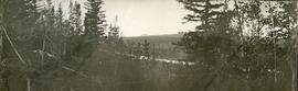
Crooked River
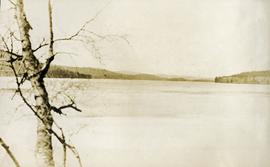
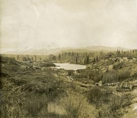
Davie Lake
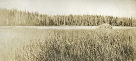
Small Lake near Crooked River
Last camp near Red Rock
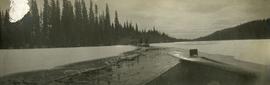
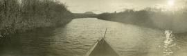
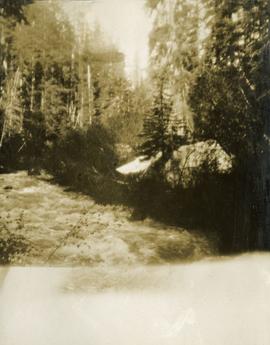
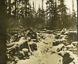
Breaking ice on Crooked River on trip to Summit Lake
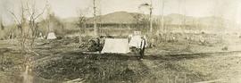
Alibi produced when party stopped work, November 1910
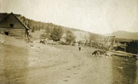
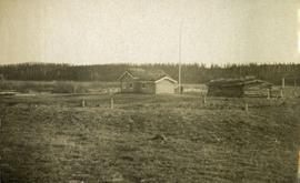
Holts Ranch

On the road from Quesnel to Fraser Lake
Trip to Fraser Lake
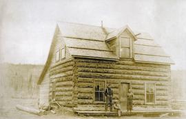
Camp at Fraser Lake
Loaded wagon and horse team near Fraser Lake
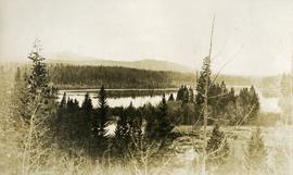
Fraser Lake looking west

On trail to Fraser Lake

Stuart Lake scow
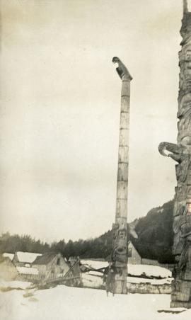
Totem poles at Masset
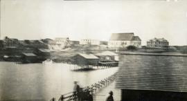
Northwest BC coastal village

Open range near Chilcotin post office

Open range near Chilcotin post office

Open range near Chilcotin post office
Norman Lee's ranch
Norman Lee's ranch
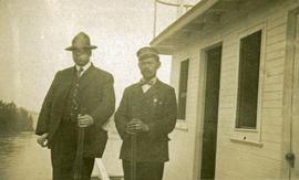
W. L. Collins and Captain Brown
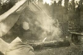
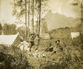
Sunday in camp with a smoke fire
Alexis Creek
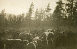
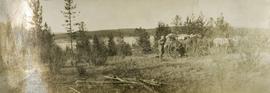
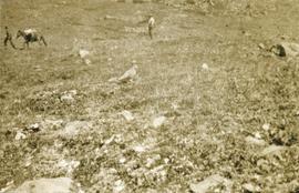
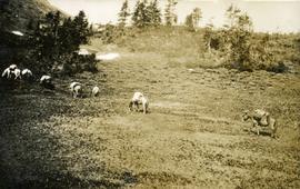
Range cattle
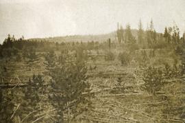
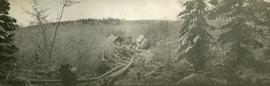
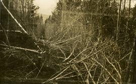
Jack pine windfall
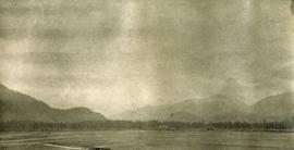
Prince Rupert Harbour
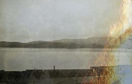
Prince Rupert Harbour
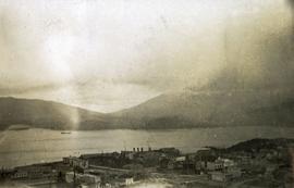
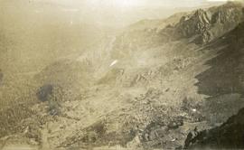
Overlooking the city and harbour of Prince Rupert
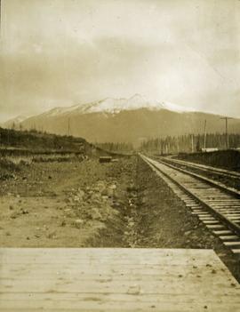
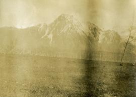
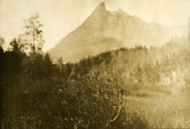
Hudson Bay Mountain from Morricetown, BC
Camp on John Brown Creek
Bridge across Buckley River at Morricetown, BC
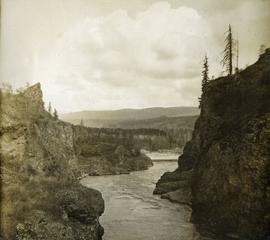
Canyon on Buckley River at Moricetown, BC
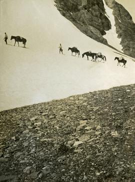
Crossing the summit between John Brown and Kitseucla Creeks
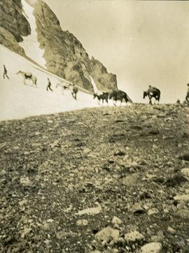
Crossing the summit between John Brown and Kitseucla Creeks
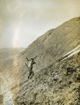
Trail making on the summit between John Brown and Kitseucla Creeks
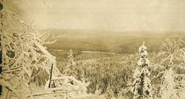
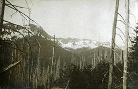
Views from the summit of Hudson Bay Mountain between John Brown and Kitseucla Creeks
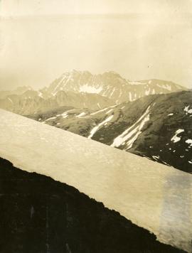
Views from the summit of Hudson Bay Mountain between John Brown and Kitseucla Creeks
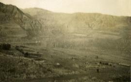
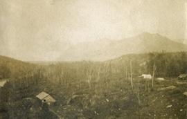
Valley of Kitseucla Creek looking north from the 55th parallel
Valley of Kitseucla Creek looking north from the 55th parallel
Survey line at the 55th parallel in the valley of Kitseucla Creek
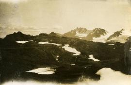
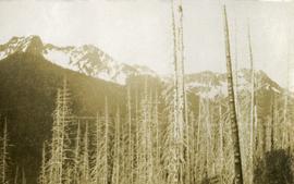
Glaciers on Babine Mountain, south of 55th parallel
East slope of Babine Range
Mountain range south of John Brown Creek
Mountain range south of John Brown Creek
Looking down the Skeena River valley from Skeena Crossing
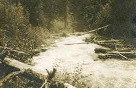
Bridge across log jam built by survey party
John Brown Creek
Ptarmigan
Basin east of Kitseucla summit