Print preview Close
Showing 6040 results
Archival description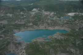
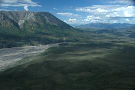
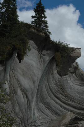
Debris-covered terminus of Klutlan Glacier
Debris-covered terminus of Klutlan Glacier
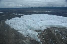
Klutlan Glacier ~15 km above terminus, facing downvalley
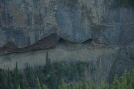
Debris-covered terminus of Klutlan Glacier
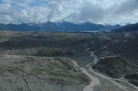
Debris-covered terminus of Klutlan Glacier
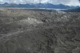
Debris-covered terminus of Klutlan Glacier
Debris-covered terminus of Klutlan Glacier
Debris-covered terminus of Klutlan Glacier
Debris-covered terminus of Klutlan Glacier
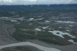
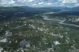
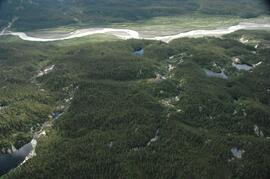
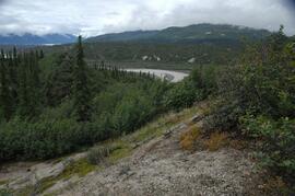
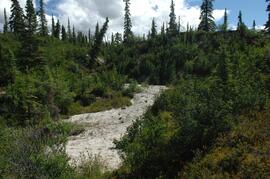
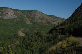
White River, between Klutlan Glacier and Alaska Highway
White River, between Klutlan Glacier and Alaska Highway
View to west across Generc River
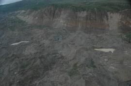
Glacier ice exposure, east bank of Generc River
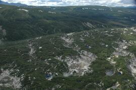
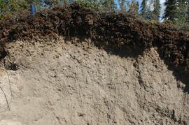
Klutlan Glacier site Y07-06
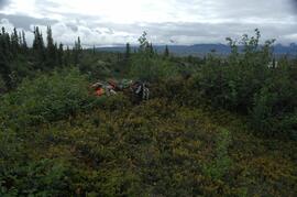
Klutlan Glacier site Y07-06
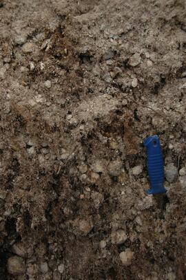
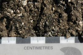
Klutlan Glacier soil detail at site Y07-06
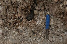
Klutlan Glacier soil detail at site Y07-06
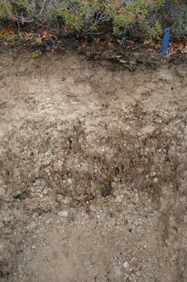
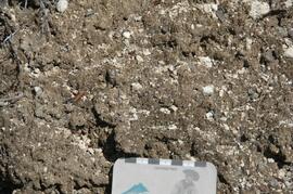
Klutlan Glacier soil at site Y07-06
Klutlan Glacier site Y07-07
Klutlan Glacier site Y07-07
Klutlan Glacier site Y07-07
Klutlan Glacier soil at site Y07-07
Klutlan Glacier soil crust at site Y07-09
Klutlan Glacier soil crust at site Y07-09
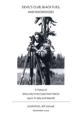
John Revel - "Devil's Club, Black Flies, and Snowshoes"
John Revel - "Devil's Club, Black Flies, and Snowshoes" Drafts
John Revel - "Devil's Club, Black Flies, and Snowshoes" Drafts
Branch Lines
Branch Lines
McGregor Model Forest Association fonds
McGregor Model Forest Association fonds
McGregor Model Forest Magnet
McGregor Model Forest Magnet
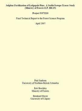
"Sulphur Fertilization of Lodgepole Pine: A Stable Isotope Tracer Study (Ministry of Forests E.P. 886.15) - Project Y051210 - Final Technical Report to the Forest Science Program"
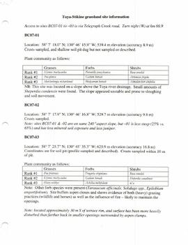
Tuya-Stikine grassland site information
Lower Tuya River, ~5 km above the Stikine River confluence
Lower Tuya River, facing upstream ~5 km above the Stikine River confluence
Untitled
Untitled
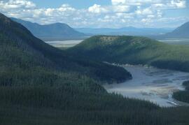
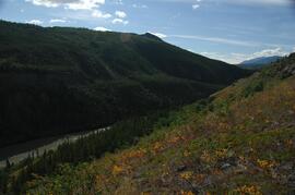
Stikine River, facing upstream ~8 km northeast of Telegraph Creek
Stikine River, facing upstream ~8 km northeast of Telegraph Creek
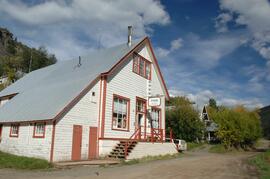
Stikine Riversong General Store at Telegraph Creek
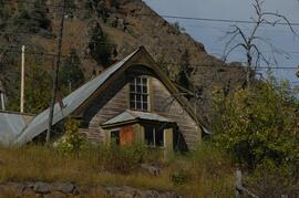
Building in Telegraph Creek
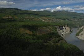
Stikine River, facing upstream ~1.5 km downstream from site BC07-05
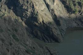
Interbedded basalt flows and glacial fluvial deposits exposed on south side of Stikine River
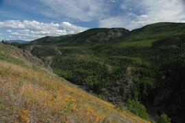
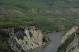
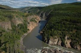
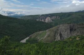
Stikine canyon
Tuya River, facing downstream ~10 km above the Stikine River confluence
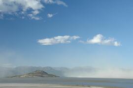
Dust storm over Slims River delta
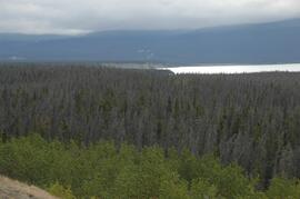
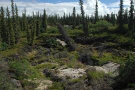
Beetle-killed spruce forest, southeast side of Kluane Lake
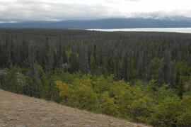
Beetle-killed spruce forest, southeast side of Kluane Lake
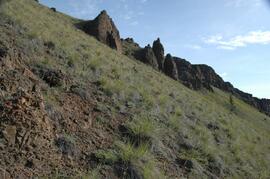
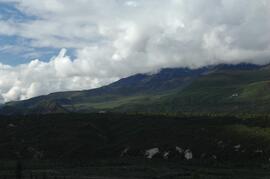
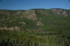
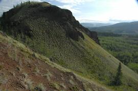
South facing grasslands, ~1 km on Mt Nansen Road
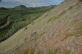
South facing grasslands, ~1 km on Mt Nansen Road
South facing grasslands, ~1 km on Mt Nansen Road
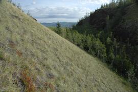
South facing grasslands, ~1 km on Mt Nansen Road