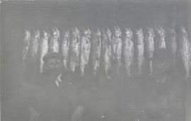
Photograph depicts two men seated in front of a row of hanging fish.
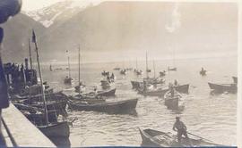
Photograph depicts several fishing boats on the water with a wooden dock in the foreground to the left of the image.
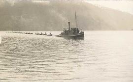
Photograph depicts a tug boat hauling a line of small fishing boats across the water with a mountain in the background. Annotation on verso of photograph states: "Tow of Cannery Fishing boats"
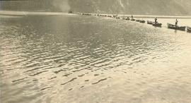
Photograph depicts a line of cannery fishing boats being towed across the water with the base of a mountain in the background.
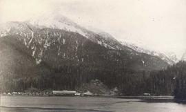
Photograph depicts a cannery in front of a forested mountains with water in the foreground.
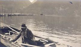
Photograph depicts a man in a fishing boat in front of a line of fishing boats being towed by a tug boat on the water with the base of a mountain in the background.
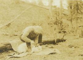
Photograph depicts Bruce Otto, a hunting guide, standing next to Prentiss Gray, who is seated on a stump skinning his prized mountain goat.
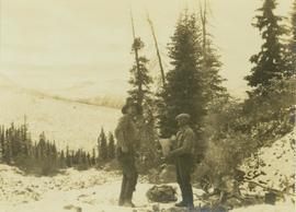
Photograph depicts hunting guides, Bruce Otto and Alex McDougall, standing next to a campfire with food in hand with a forest in the foreground.
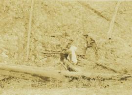
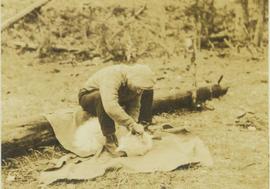
Photograph depicts an unidentified man sitting on a log skinning a goat that is laying on a blanket in front of him.
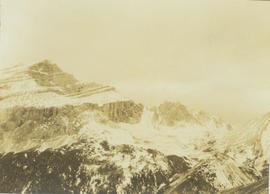
Photograph depicts a snowy mountain landscape in the Canadian Rockies where Prentiss Gray found his prized mountain goat.
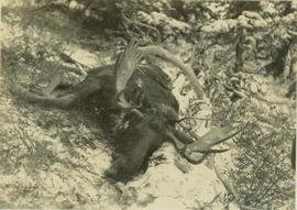
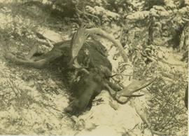
Photograph depicts a felled moose on a snow-covered hillside.
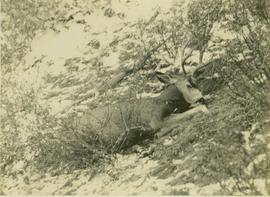
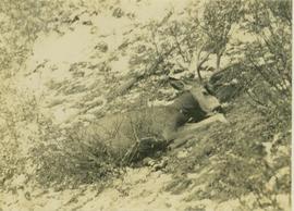
Photograph depicts a felled deer on a snow-covered hillside with a rifle behind the deer.
Photograph depicts a felled deer on a snow-covered hillside with a rifle behind the deer.
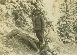
Photograph depicts hunting guide Bruce Otto standing next to a felled moose on a snow-covered hillside with trees in the background.
Photograph depicts a felled moose on a snow-covered hillside.
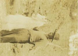
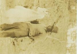
Photograph depicts a hunting guide (Bruce Otto?) holding up a large mountain goat shot by Prentiss Gray with a forested area in the background.
Photograph depicts Prentiss Gray sitting on a log skinning his trophy mountain goat.
Photograph depicts hunting guide, Bruce Otto holding up the trophy mountain goat shot by Prentiss Gray.
Photocopied map depicts mineral and coal mining properties in north western British Columbia.
Series consists of maps, technical drawings, and other oversize material collected by Gary Runka that are not associated with specific Land Sense Ltd. client jobs.
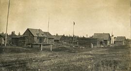
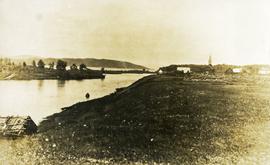
Photograph depicts a cluster of wooden buildings including a flagpole and church spire at a Lheidli T'enneh village site. Original photo identified this image as "Indian Village, Fort George".
Photograph depicts Lheidli T'enneh Nation burial grounds in foreground, Hudson Bay Company buildings in background.
Series consists of a photograph album from A. H. Holland, a British Columbia Land Surveyor, that was created while working in the Central Interior, the Cariboo, the Chilcotin and southeast British Columbia. This album visually documents steamboat, stagecoach and horse travel in British Columbia and some First Nation village sites. It also captures preparatory survey work and dawn of the age of rail travel.
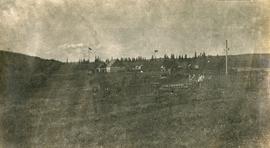
Photograph depicts a cluster of buildings near Fraser Lake. A fence and grasses in the foreground. Original photo title: "Indian Village at Fraser Lake." First Nations communities with territories overlapping Fraser Lake include Nadleh Whut'en and Stellat'en Nations.
File consists of reports and documents relating to resource inventory.
Includes the following items:
E.L.U.C. Secretariat. 1976. Terrain classification system (May 1976; 2nd printing). [Original version, as adapted from work by R. Fulton, Geological Survey of Canada. Version 2 was updated in 1988 & reprinted 1997]
Jones, C. (compiler). 1997. Predictive ecosystem mapping (PEM) workshop, Prince Rupert Forest Region, April 25, 1997, Minutes.
Jones, K. et al. 1999. Towards the establishment of predictive ecosystem mapping standards: a white paper. 1st approximation. March, 1999. Prepared for: Terrestrial Ecosystem Mapping Alternatives Task Force, Resources Inventory Committee.
Kistritz, R.U. and G.L. Porter. 1993. Proposed wetland classification system for British Columbia: a discussion paper. Prepared for: B.C. Ministry of Forests, Ministry of Environment, Lands and Parks, B.C. Conservation Data Centre.
Louie, R.H. 1992. Soil surveys in British Columbia, 1928-1992: a listing of soil survey reports and maps for the Province of British Columbia. Soil Conservation Service, Integrated Management Branch, Ministry of Environment, Lands and Parks, Victoria.
Maxwell, R. and T. Lea. 1993. Bioterrain mapping guidelines: a supplement to the ecological mapping methodology (September 1993) (Working Document; First Draft). Habitat Inventory Section, Wildlife Branch, Ministry of Environment, Victoria.
Maxwell, R. and T. Lea. 1993. Soils data collection for ecological mapping – the next twenty years. [Presented at: B.C. Soil Science Workshop 1993?]
Meidinger, D. 2000. Protocol for quality assurance and accuracy assessment of ecosystem maps. July, 2000. Prepared for: TEM Alternatives Task Force. Research Branch, Ministry of Forests, Victoria. [Draft version; later revision (2003) issued as Technical Report 011, Forest Science Program, Ministry of Forests. https://www.for.gov.bc.ca/hfd/pubs/docs/Tr/Tr011.pdf ]
File consists of clipping, notes, and reproductions relating to the Natural Resources Security Company, the company was responsible for a land-selling campaign, selling lots for the townsite to later be Central Fort George, which was owned and ran by George John Hammond in Fort George. Includes: "The sales campaign of George J. Hammond and the Natural Resources Security Company" typescript research essay by Anna Bumby (30 Apr. 1981); "Fort George and its tributary territory" photocopied article from British Columbia Magazine (1912); "Facts, what British Columbia offers you" reproduction of a pamphlet produced by the Natural Resources Security Company, Ltd. (1910); and reproduced excerpts from an unidentified pamphlet issued in 1912 by the Natural Resources Security Company, Ltd.
File consists of notes, clippings, and reproductions relating to historical and contemporary natural resource surveys in British Columbia. Includes material on oil discovery, farming conditions, timber stands, the Alaskan Highway, and railway development. File predominantly consists of search results from the University of Northern British Columbia library, College of New Caledonia library, and Prince George Public Library regarding British Columbia's natural resource surveying.
File consists of a bound typescript book titled "Land Settlement (A report by a C.S.T.A Committee)" produced by the Canadian Society of Technical Agriculturists in 1941.
File consists of notes, clippings, and reproductions relating to historical agriculture in Prince George. Includes material on the Prince George Farmer's Institute; experimental plots surrounding Prince George; farming in areas surrounding Prince George including Pineview, Mud River, and Blackburn; ranching; gardening; and the Prince George Experimental Farm. Includes: "Moose in British Columbia, Canada" an educational pamphlet from the Fish and Wildlife Branch of the Department of Recreation and Conservation in British Columbia.
File consists of notes, clippings, and reproductions relating to dairying and dairy farming in Prince George. Includes material on Harry Moffat; cattle in Mud River; Mr. Hewlett and Centralia Dairy (established in 1923); Interior Creamery, located at the corner of Brunswick and First Avenue; and pasteurization.
File consists of clippings, notes, reproductions, and letters relating to the Prince George Experimental Farm. Includes "District 'C' Farmer's Institute" letter correspondence between the director of development services and Marlene Schwartz (19 July 1999) and "RE: Century Farms Project" letter from Kent Sedgwick to the Ministry of Agriculture, Fisheries & Food (13 Sept. 1994). Also includes photographs depicting the experimental farm in Prince George, including the house on the property, a barn with a rainbow painted on the front, and the barn at multiple angles (Aug. 2001).
File consists of notes, clippings, and reproductions relating to ranching in British Columbia. Includes: "Heritage Seed Program" pamphlet by Canadian Organic Growers (1995); "The Grist Mill at Keremeos British Columbia" special events brochure (1991); and "Ranching and Grasslands" poster for the Royal British Columbia Museum speakers tour (May 1988).
File consists of notes, reproductions, and clippings relating to the W. Lamb and Sons Lumber Sawmill in Island Cache and its development. File predominantly includes printed photographs and photographs from the Exploration Place Museum database depicting the sawmill. Includes "Engines" printed email from Trelle Morrow to Kent Sedgwick (24 Nov. 2009).
File consists of notes, clippings, and reproductions relating to British Columbia's central interior forestry industry. Includes material regarding beehive burners; economic viability of timber in Prince George, Quesnel, Burns Lake, and Houston; the Canfor pulp mill in Prince George; and Carrier Lumber Ltd. mill in Prince George. File primarily consists of clipped articles from the Prince George Citizen newspaper, including "Forest Expo 2004" special edition of the Prince George Citizen newspaper (1 June 2004).
File consists of notes, clippings, and reproductions relating to mining in British Columbia. Includes various clipped articles from the Prince George Citizen newspaper (2003-2008).
File consists of notes, clippings, and reproductions relating to the arrival of the railway in Fort George. Includes material on railway development and building of the railway in Fort George.
File consists of notes and reproductions relating to the Salmon Valley Ranch. Also includes photographs depicting the Salmon Valley Ranch.
File consists of notes and reproductions relating to the Northern Dairies milk shipping company and William Binney Milner, a Vancouver-based financier who purchased Northern Dairies Ltd. In 1956.
File consists of notes, clippings, and reproductions relating to Sinclair Mills, a community along the East Line. Includes material regarding the development of a sawmill in Sinclair Mills and life in the community. Includes "Interview with Louisa Mueller" typed transcript of an interview with Louisa Mueller regarding her life at Sinclair Mills (29 Oct. 1999). File also includes photographs depicting various Sinclair Mills buildings, including of the silo and bunkhouse (2009-2010).
File consists of notes, clippings, and reproductions relating to the gold rush in Quesnel and Likely, British Columbia. Includes: "Guide to the Goldfields: Cariboo Country" newspaper edition (1998); "Cariboo, Chilcotin Coast, Likely" brochure published by Likely & District Chamber of Commerce [199-]; "The UNBC Quesnel Rover Research Centre" pamphlet published by the University of Northern British Columbia (2002); "New Nugget Restaurant" paper placemat (1972); and "Likely" brochure from the Likely Chamber of Commerce [198-]. Also includes photographs depicting a camping trip in Likely, British Columbia (2010).
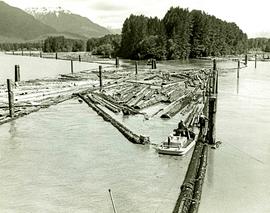
Crews of sure-footed boom men in the Nass area, largely composed of Indigenous locals, work throughout the year on logging operations of Twinriver Timber Limited. Their homes are located near Nass River in the towns of Aiyansh, New Aiyansh, Greenville, and Canyon City.
File consists of notes and reproductions relating to John Prince Myers, one of the founders of Cranbrook Sawmill, and his house at 1633 Norwood Street that burnt down in 1933. File primarily consists of photocopied newspaper articles relating to the Cranbrook Sawmill and the burning of the house at 1633 Norwood Street, and printed copies of photographs from The Exploration Place Museum database depicting the house and sawmill. Includes printed email chain between Greg Halseth, Kent Sedgwick, and John G . Myers (Sept. 2004).
File consists of notes and reproductions relating to the closure of the Giscome mill. Also includes a photograph depicting the Giscome mill foundations after its demolition.
