Aperçu avant impression Fermer
Affichage de 6092 résultats
Archival description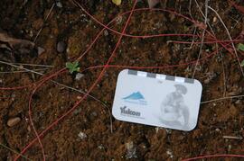
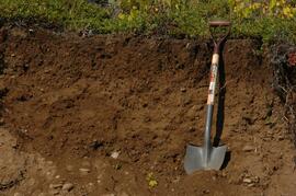
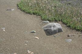
Tuya River valley soil crust at site BC07-03
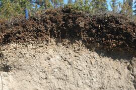
Tuya River valley soil at site BC07-03
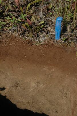
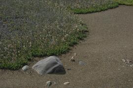
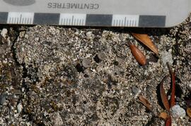
Stikine River valley soil crust at site BC07-04
Stikine River valley site BC07-04
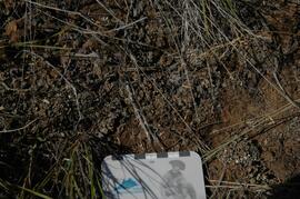
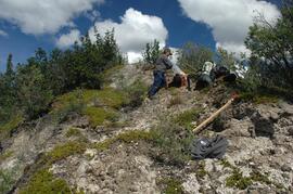
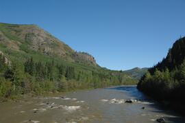
Stikine River valley soil at site BC07-05
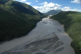
White River, facing south upstream approximately 9 km above highway bridge
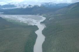
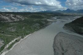
White River, facing upstream toward Generc River confluence
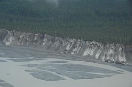
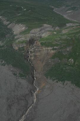
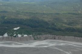
West side of Generc River, with thick tephra cover slumping over cutbank
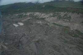
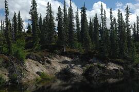
Debris-covered terminus of Klutlan Glacier
Debris-covered terminus of Klutlan Glacier
Debris-covered terminus of Klutlan Glacier
Debris-covered terminus of Klutlan Glacier
Debris-covered terminus of Klutlan Glacier
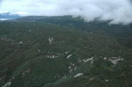
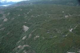
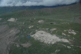
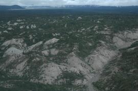
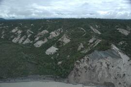
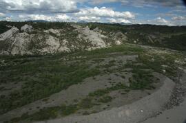
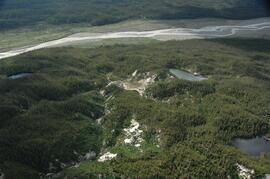
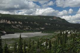
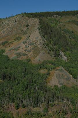
West side of Generc River valley
West side of Generc River valley
West side of Generc River valley
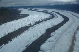
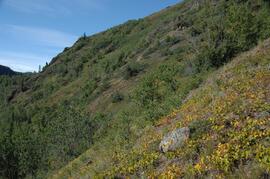
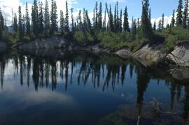
Klutlan Glacier ~20 km above terminus, facing downvalley
Debris-covered terminus of Klutlan Glacier
Debris-covered terminus of Klutlan Glacier, near landing spot
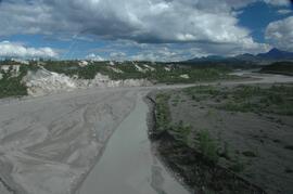
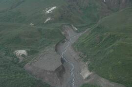
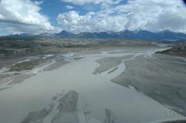
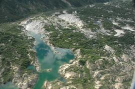
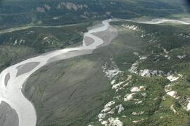
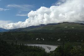
Generc River floodplain, facing upstream near study site
Generc River floodplain, facing upstream near study site
Generc River floodplain, facing upstream near study site
Generc River floodplain, upstream of study site
Debris-covered terminus of Klutlan Glacier
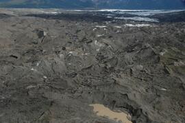
Debris-covered terminus of Klutlan Glacier
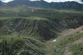
West side of Generc River valley
Debris-covered terminus of Klutlan Glacier
Debris-covered terminus of Klutlan Glacier
Debris-covered terminus of Klutlan Glacier
Debris-covered terminus of Klutlan Glacier
Generc River floodplain, above White River confluence
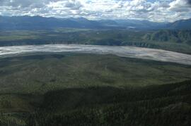
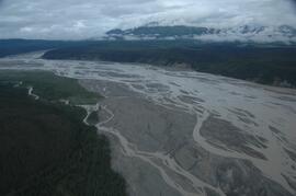
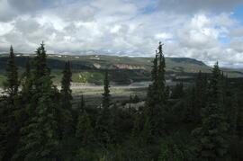
White River, between Klutlan Glacier and Alaska Highway
White River, between Klutlan Glacier and Alaska Highway
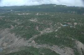
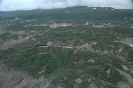
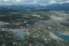
View to west across Generc River
View to west across Generc River
View to west across Generc River
View to west across Generc River
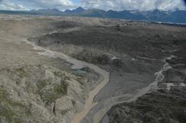
Generc River floodplain near landing spot
Generc River floodplain near landing spot
Generc River floodplain near landing spot
Generc River floodplain near landing spot
Generc River floodplain near landing spot
Klutlan Glacier site Y07-07
Klutlan Glacier site Y07-07
Klutlan Glacier soil detail at site Y07-07
Klutlan Glacier soil crust at site Y07-09
Klutlan Glacier site Y07-09
Yukon Paleosol Study topographical NTS map scans
Yukon Paleosol Study topographical NTS map scans
Lower Tuya River, ~5 km above the Stikine River confluence
Lower Tuya River, facing upstream from bridge on Telegraph Creek Road