Imprimir vista previa Cerrar
Mostrando 6040 resultados
Archival description
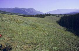
Lower Sheep Creek canyon

Lower Slims heavy sheep use area (detail)
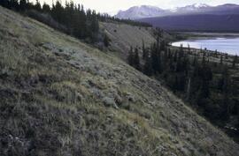
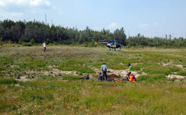
Y03-08
Y03-08
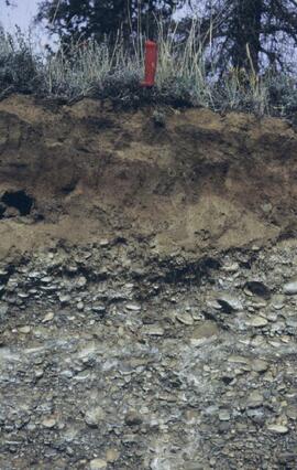
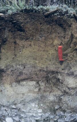
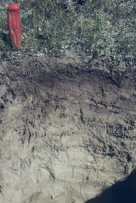
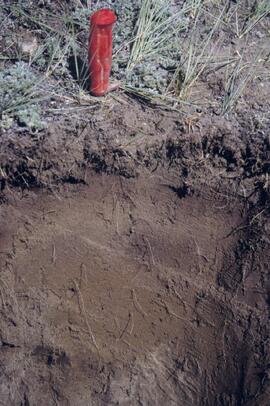
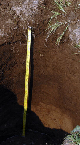
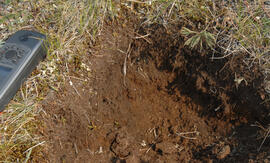
Y03-09 profile
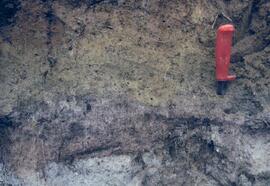
Y03-09 profile (detail)
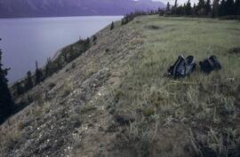
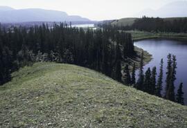
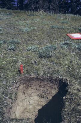
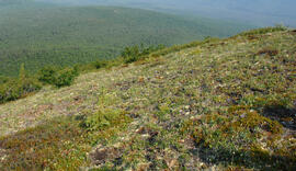
Y03-09 site
Y03-08
Y03-08
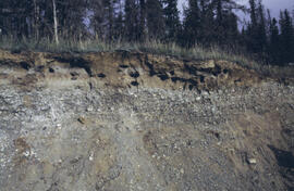
Y03-10 profile
Y03-10 site
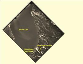
Rat Lake
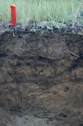
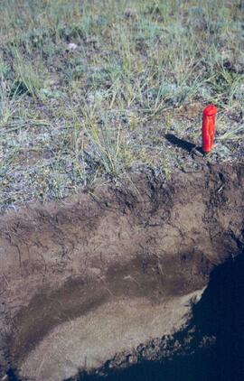
Y03-03 profile
Y03-03 profile and site
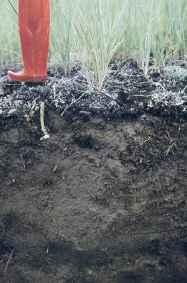
Y03-04 profile
Y03-04 site
Y03-05 profile
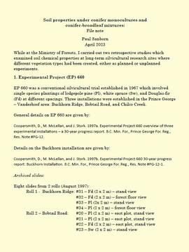
Soil properties under conifer monocultures and conifer-broadleaf mixtures
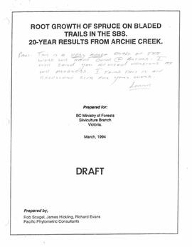
"Root Growth of Spruce on Bladed Trails in the SBS: 20-year results from Archie Creek"
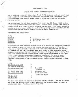
"FRDA Project 1.16 - Archie Road (North) Demonstration Plot"
Archie Creek Site
Archie Creek Site
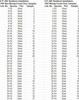
Experimental Project (EP) 660
Experimental Project (EP) 660
Experimental Project (EP) 660 data
Experimental Project (EP) 660 slides
Experimental Project (EP) 660 slides
Archie Creek slides
Archie Creek slides
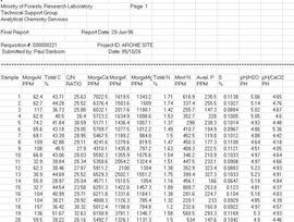
Archie Creek site data
Archie Creek plot layout sketch map
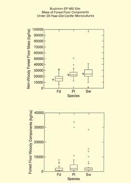
EP 660 Buckhorn 1997 forest floor graphs
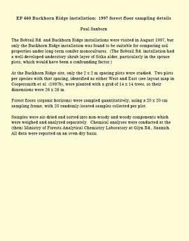
EP 660 Buckhorn Ridge installation: 1997 forest floor sampling details

Forest Research Note #PG-12-1: "Experimental Project 660 - 30-year Progress Report - Buckhorn Installation"

Forest Research Note #PG-12: "Experimental Project 660 - Overview of Three Experimental Installations - A 30-year Progress Report"

Kluane Lake soils research data
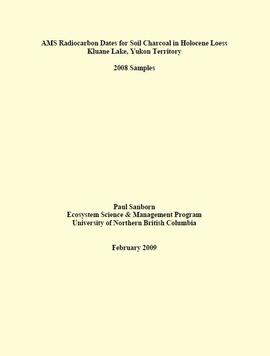
"AMS Radiocarbon Dates for Soil Charcoal in Holocene Loess - Kluane Lake, Yukon Territory - 2008 Samples"

"AMS Radiocarbon Dates for Soil Charcoal in Holocene Loess - Kluane Lake, Yukon Territory - 2004 Samples"
Silver City section (site Y03-11) soil charcoal samples
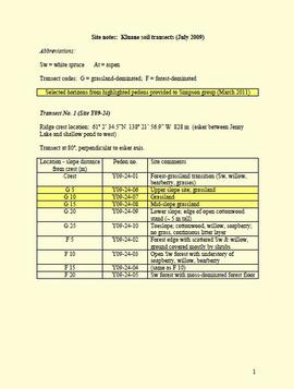
Site notes: Kluane soil transects
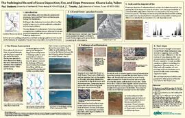
"The Pedological Record of Loess Deposition, Fire, and Slope Processes: Kluane Lake, Yukon"
"Forest Floor Development on Bladed Trails in the SBS: A retrospective study of the Archie Creek site"
"Forest Floor Development on Bladed Trails in the SBS: A retrospective study of the Archie Creek site"
"Some long term effects of scarification on soil properties and site productivity"
"Some long term effects of scarification on soil properties and site productivity"
Archie Creek site location map
Archie Creek site location map
"Range Reference Area Exclosure Locations, Ft. St. John Forest District"
"Range Reference Area Exclosure Locations, Ft. St. John Forest District"

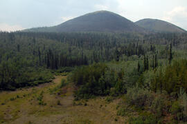
Fort Selkirk volcanic field soil reconnaissance data
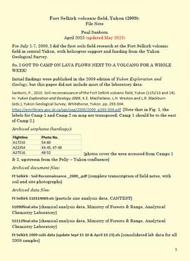
Fort Selkirk volcanic field, Yukon
Site Y09-23
Site Y09-23 profile
Site Y09-23 pond margin

Site Y09-23 lapilli
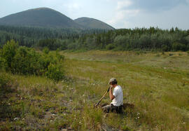
Site Y09-23 aerial view
Site Y09-22 site view
Site Y09-22 profile