Print preview Close
Showing 2347 results
Archival description
Middle Pleistocene basalt cliffs west of Camp 2

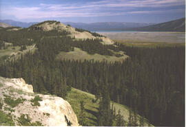
Flight between Camp 2 and Camp 3

Flight between Camp 2 and Camp 3

Flight between Camp 2 and Camp 3

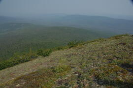
South flank of Volcano Mountain

South flank of Volcano Mountain

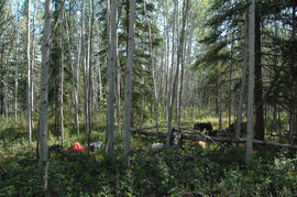
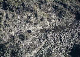
Near Camp 3
Wilderness trombone at Camp 3
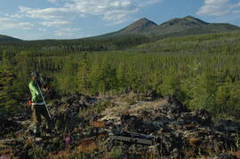
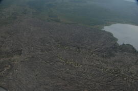
Holocene basalt flows near Camp 3
Holocene basalt flows near Camp 3
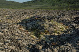
Holocene basalt flows near Camp 3
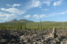
Holocene basalt flows south of Volcano Mountain
Summit of Volcano Mountain
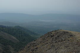
Summit of Volcano Mountain

North side of Volcano Mountain

North side of Volcano Mountain
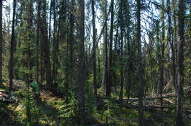
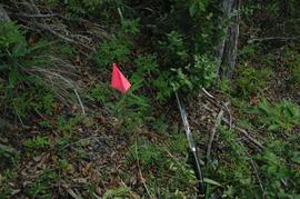
Site Y09-05 site view 1
Site Y09-18
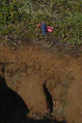
Site Y09-19 profile detail
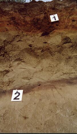
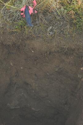
Site Y09-19

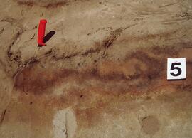
Site Y09-21 annotated profile
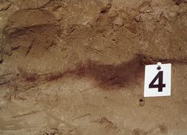
Site Y09-22 profile

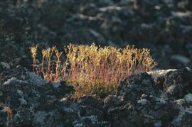
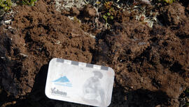
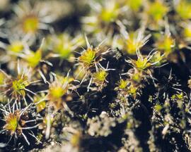
Site Y09-23 lapilli
Site Y09-23
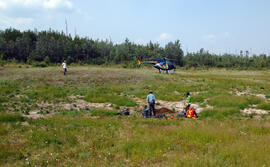
Soils research at Kluane Lake, Yukon
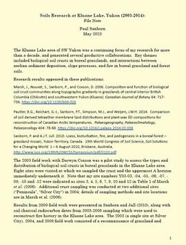
"The Pedological Record of Loess Deposition, Fire, and Slope Processes: Kluane Lake, Yukon"

"AMS Radiocarbon Dates for Soil Charcoal in Holocene Loess - Kluane Lake, Yukon Territory - 2004 Samples"
Y03-04 profile
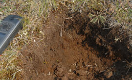
Y03-10 site
Y03-09 site
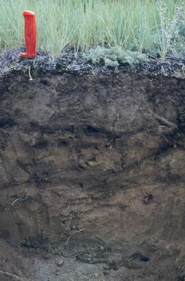
Y03-09 profile
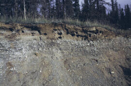
Y03-08

Lower Slims heavy sheep use area (detail)

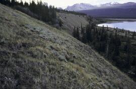
Lower Slims heavy sheep use area

Lower Slims unburned grassland (detail)

Lower Slims unburned grassland
Y03-12
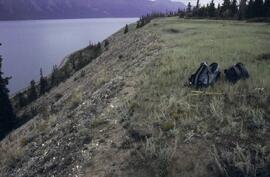
Lower Slims panorama
Silver City section (Y03-11) - soil 5
Silver City section (Y03-11) - soil 4
Silver City section (Y03-11) - soils 1 and 2
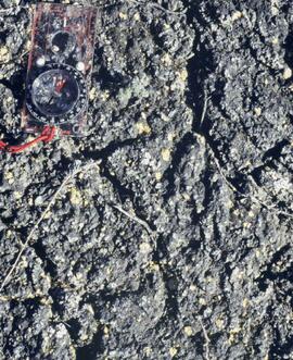
Cryptobiotic soil crust close-up
Cryptobiotic soil crust close-up
Kluane Lake 2004 photographs - print roll 11
Kluane Lake 2004 photographs - print roll 11
Kluane Lake 2009 field work photographs
Kluane Lake 2009 field work photographs
Y09-24 G15 surface
Y09-24 G25 surface
Y09-24-01 profile
Y09-24-06 G5 profile
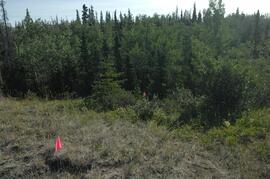
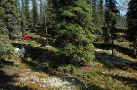
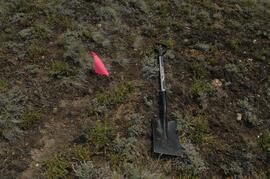
Y09-27 site view to forest