Print preview Close
Showing 2347 results
Archival description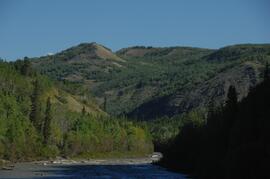
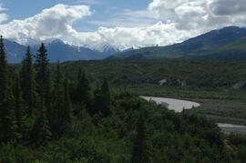
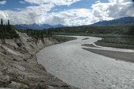
Lower Tuya River, facing downstream from bridge on Telegraph Creek Road
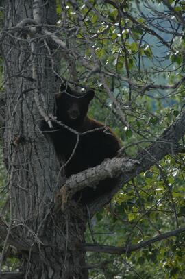
Black bear in tree
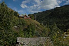
Buildings in Telegraph Creek
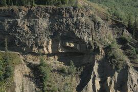
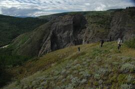
Interbedded basalt flows and glacial fluvial deposits exposed on south side of Stikine River
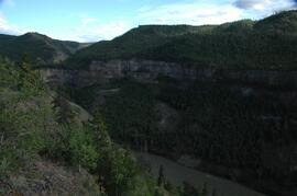
Interbedded basalt flows and glacial fluvial deposits exposed on south side of Stikine River
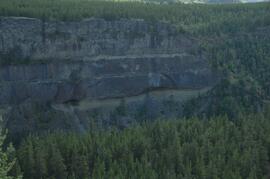
Interbedded basalt flows and glacial fluvial deposits exposed on south side of Stikine River
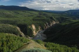
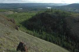
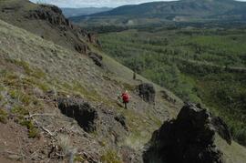
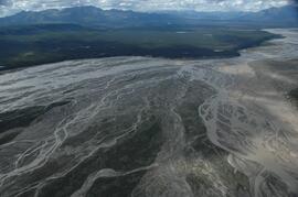
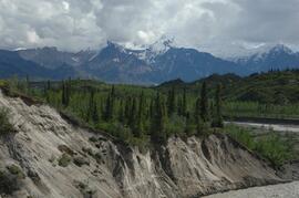
Stikine River, facing downstream ~8 km northeast of the Tuya River confluence
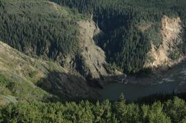
Stikine canyon
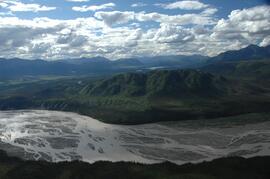
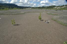
Tuya River, grasslands ~10 km above the Stikine River confluence
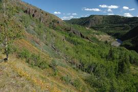
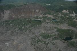
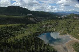
Forest-grassland mosaic, southeast side of Kluane Lake (south of Cultus Bay)
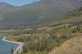
Forest-grassland mosaic, southeast side of Kluane Lake (south of Cultus Bay)
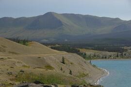
Forest-grassland mosaic, southeast side of Kluane Lake (south of Cultus Bay)
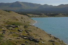
Forest-grassland mosaic, southeast side of Kluane Lake (south of Cultus Bay)
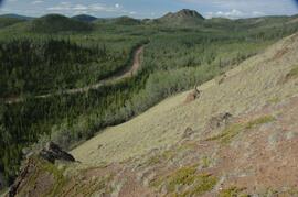
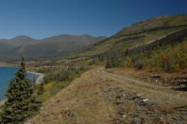
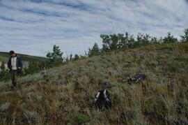
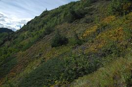
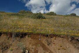
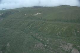
South facing grasslands, ~1 km on Mt Nansen Road
South facing grasslands, ~1 km on Mt Nansen Road
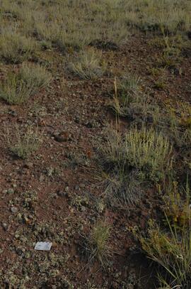
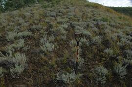
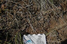
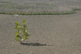
Crust-covered gravelly soil surface with Artemisia
South facing grasslands, ~1 km on Mt Nansen Road
Grassland soils in the Boreal Cordillera Ecozone study images: Site and soil views
Grassland soils in the Boreal Cordillera Ecozone study images: Site and soil views
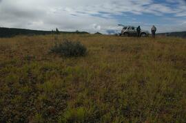
Tuya River valley site BC07-01
Tuya River valley site BC07-01
Tuya River valley site BC07-03
Tuya River valley site BC07-03
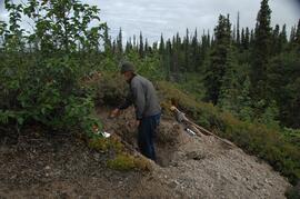
Stikine River valley soil crust at site BC07-04
Stikine River valley site BC07-04
Stikine River valley site BC07-04
Stikine River valley site BC07-05
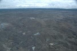
Klutlan Glacier soils study images: Aerial views
Klutlan Glacier soils study images: Aerial views
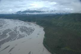
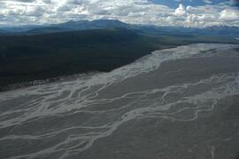
White River west bank
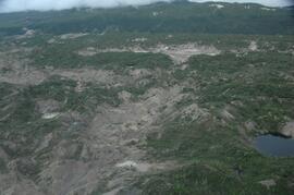
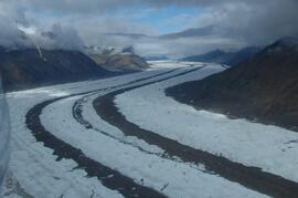
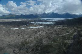
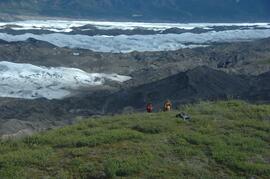
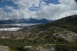
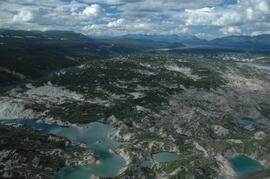
Debris-covered terminus of Klutlan Glacier
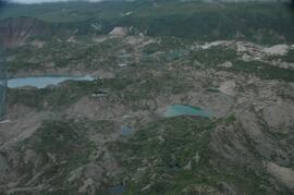
Debris-covered terminus of Klutlan Glacier
Debris-covered terminus of Klutlan Glacier
West side of Generc River valley
Klutlan Glacier ~20 km above terminus, facing upvalley
Debris-covered terminus of Klutlan Glacier
Debris-covered terminus of Klutlan Glacier
West side of Generc River valley
West side of Generc River valley
Debris-covered terminus of Klutlan Glacier
Debris-covered terminus of Klutlan Glacier
Debris-covered terminus of Klutlan Glacier
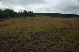
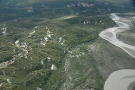
Generc River floodplain, above White River confluence
Generc River floodplain, above White River confluence
Generc River floodplain, above White River confluence
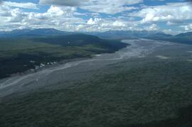
White River, between Klutlan Glacier and Alaska Highway
View to west across Generc River
Generc River, facing upstream from near landing spot
Generc River, facing upstream from near landing spot
Generc River floodplain near landing spot
Generc River floodplain near landing spot
Klutlan Glacier site Y07-06