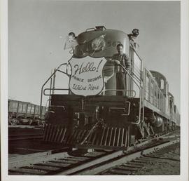
2013.6.36.1.033.01
·
Item
·
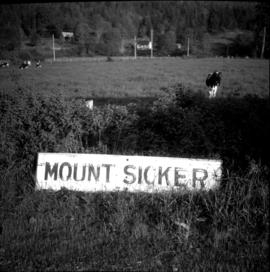
[24 May 1967]
Part of David Davies Railway Collection
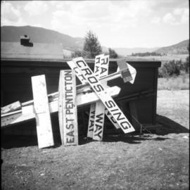
Photograph depicts a sign board that reads "Mount Sicker." Siding was located about 1 mile south of where this photograph was taken at Westholme Depot. The sign was sighted 5 miles north of Duncan, Vancouver Island. "MS" siding appeared to be taken out. This board was found in a freight shed.