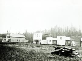
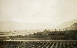
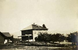
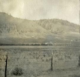
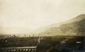
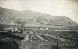
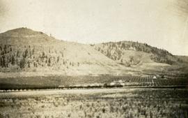
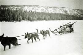
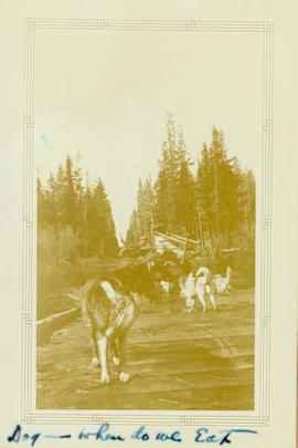
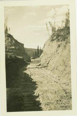
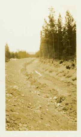
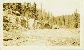
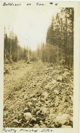
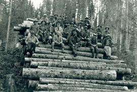
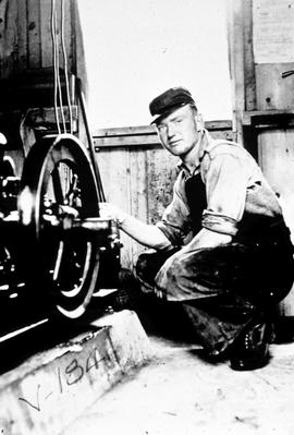
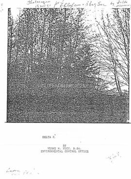
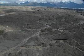
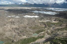
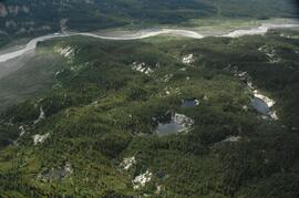
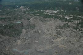
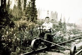
Showing 2849 results

Archival description
2000.1.1.3.15.17 · Item · 1961
Part of Cassiar Asbestos Corporation Ltd. fonds

Photograph depicts unknown man driving bulldozer on edge of mine area at high elevation. Mine road can be seen below leading to Cassiar plant in background on left, townsite visible on right. South mountain range in distance. Handwritten annotation on verso of photograph: "1961".

Dozer on Cliff
2000.1.1.3.15.10 · Item · [ca. 1958]
Part of Cassiar Asbestos Corporation Ltd. fonds

Photograph depicts unknown man driving bulldozer on edge of mine area at high elevation. The dozer is an International model TD24 (manufactured between 1947 and 1955). A second man stands on edge of cliff, directing driver. Expansive mountain range in background.

Downtown Aleza Lake
2007.1.25.7.21 · Item · 1925
Part of Aleza Lake Research Forest fonds

Item is a photograph of a copy print, resulting in a low quality photographic reproduction. Reproduced as a print, slide, and a negative. Location of original photograph is unknown.

2000.1.1.3.14.01 · Item · 1952
Part of Cassiar Asbestos Corporation Ltd. fonds

Photograph depicts two pick hammers laid in asbestos fibre. Annotations on note glued to recto of photograph: "ASBESTOS"; "Detail view of asbestos talus. Early test pit near top of showing. Western slope." Areas of image have been labeled "A" and "B". Photo caption under printed copy of image in 1952 Annual Report: "A - Asbestos fibre partially opened by frost action. B - Serpentine rock originally containing the asbestos fibre."

2023.2.2.13.2.37 · Item · 8 Jul. 2007
Part of Dr. Paul Sanborn fonds

This image is part of the outbound sequence of aerial images obtained on the helicopter flight to the Klutlan Glacier study site. The sequence starts from the base camp at the White River crossing on the Alaska Highway and heads south, to a point just upvalley of the debris-covered terminus (approx. 10-15 km from Alaska border), and turning back north to the landing spot on the Generc River floodplain close to the study site (see Fig. 1 in paper).

2023.2.2.13.2.12 · Item · 8 Jul. 2007
Part of Dr. Paul Sanborn fonds

This image is part of the outbound sequence of aerial images obtained on the helicopter flight to the Klutlan Glacier study site. The sequence starts from the base camp at the White River crossing on the Alaska Highway and heads south, to a point just upvalley of the debris-covered terminus (approx. 10-15 km from Alaska border), and turning back north to the landing spot on the Generc River floodplain close to the study site (see Fig. 1 in paper).

2023.2.2.13.2.14 · Item · 8 Jul. 2007
Part of Dr. Paul Sanborn fonds

This image is part of the outbound sequence of aerial images obtained on the helicopter flight to the Klutlan Glacier study site. The sequence starts from the base camp at the White River crossing on the Alaska Highway and heads south, to a point just upvalley of the debris-covered terminus (approx. 10-15 km from Alaska border), and turning back north to the landing spot on the Generc River floodplain close to the study site (see Fig. 1 in paper).

2023.2.2.13.2.15 · Item · 8 Jul. 2007
Part of Dr. Paul Sanborn fonds

This image is part of the outbound sequence of aerial images obtained on the helicopter flight to the Klutlan Glacier study site. The sequence starts from the base camp at the White River crossing on the Alaska Highway and heads south, to a point just upvalley of the debris-covered terminus (approx. 10-15 km from Alaska border), and turning back north to the landing spot on the Generc River floodplain close to the study site (see Fig. 1 in paper).

2023.2.2.13.2.33 · Item · 8 Jul. 2007
Part of Dr. Paul Sanborn fonds

This image is part of the outbound sequence of aerial images obtained on the helicopter flight to the Klutlan Glacier study site. The sequence starts from the base camp at the White River crossing on the Alaska Highway and heads south, to a point just upvalley of the debris-covered terminus (approx. 10-15 km from Alaska border), and turning back north to the landing spot on the Generc River floodplain close to the study site (see Fig. 1 in paper).

2023.2.2.13.2.45 · Item · 9 Jul. 2007
Part of Dr. Paul Sanborn fonds

This image is part of the return trip sequence of aerial images obtained on the helicopter flight leaving the Klutlan Glacier study site. On the return leg at the end of the day, the flight initially went upvalley to pick up another party.

2023.2.2.13.2.49 · Item · 9 Jul. 2007
Part of Dr. Paul Sanborn fonds

This image is part of the return trip sequence of aerial images obtained on the helicopter flight leaving the Klutlan Glacier study site. On the return leg at the end of the day, the flight initially went upvalley to pick up another party.

2023.2.2.13.2.61 · Item · 9 Jul. 2007
Part of Dr. Paul Sanborn fonds

This image is part of the return trip sequence of aerial images obtained on the helicopter flight leaving the Klutlan Glacier study site. On the return leg at the end of the day, the flight initially went upvalley to pick up another party. This image was taken after the helicopter turned north to return to base camp.

2023.2.2.13.2.19 · Item · 8 Jul. 2007
Part of Dr. Paul Sanborn fonds

This image is part of the outbound sequence of aerial images obtained on the helicopter flight to the Klutlan Glacier study site. The sequence starts from the base camp at the White River crossing on the Alaska Highway and heads south, to a point just upvalley of the debris-covered terminus (approx. 10-15 km from Alaska border), and turning back north to the landing spot on the Generc River floodplain close to the study site (see Fig. 1 in paper).

2023.2.2.13.2.21 · Item · 8 Jul. 2007
Part of Dr. Paul Sanborn fonds

This image is part of the outbound sequence of aerial images obtained on the helicopter flight to the Klutlan Glacier study site. The sequence starts from the base camp at the White River crossing on the Alaska Highway and heads south, to a point just upvalley of the debris-covered terminus (approx. 10-15 km from Alaska border), and turning back north to the landing spot on the Generc River floodplain close to the study site (see Fig. 1 in paper).

2023.2.2.13.2.23 · Item · 8 Jul. 2007
Part of Dr. Paul Sanborn fonds

This image is part of the outbound sequence of aerial images obtained on the helicopter flight to the Klutlan Glacier study site. The sequence starts from the base camp at the White River crossing on the Alaska Highway and heads south, to a point just upvalley of the debris-covered terminus (approx. 10-15 km from Alaska border), and turning back north to the landing spot on the Generc River floodplain close to the study site (see Fig. 1 in paper).

2023.2.2.13.2.35 · Item · 8 Jul. 2007
Part of Dr. Paul Sanborn fonds

This image is part of the outbound sequence of aerial images obtained on the helicopter flight to the Klutlan Glacier study site. The sequence starts from the base camp at the White River crossing on the Alaska Highway and heads south, to a point just upvalley of the debris-covered terminus (approx. 10-15 km from Alaska border), and turning back north to the landing spot on the Generc River floodplain close to the study site (see Fig. 1 in paper).