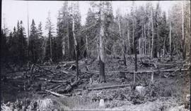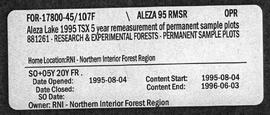
2007.1.45.05
·
File
·
1995-1996
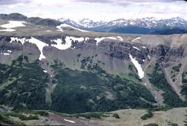
Part of Aleza Lake Research Forest fonds
File contains 1996 charts of permanent sample plot remeasurements.