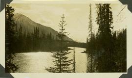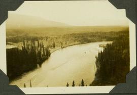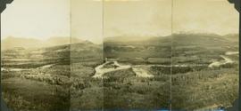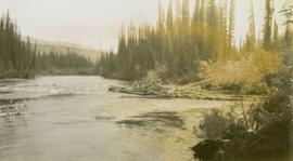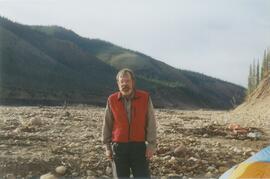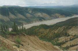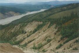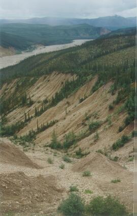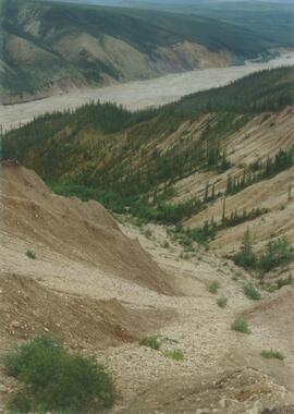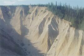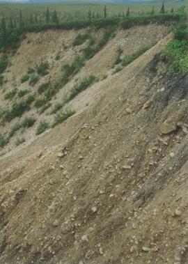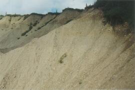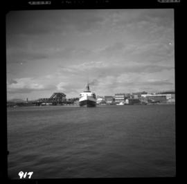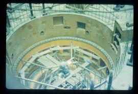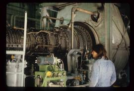
2012.13.1.4.16
·
Item
·
July 1980
Part of J. Kent Sedgwick fonds
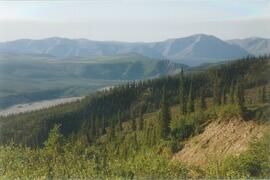
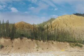
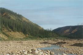
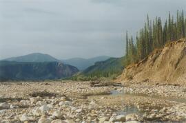
Image depicts a piece of industrial machinery in an uncertain location near McLeod Lake, B.C.