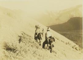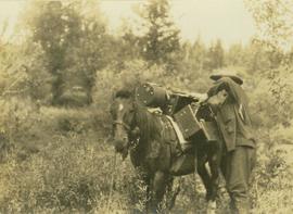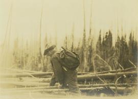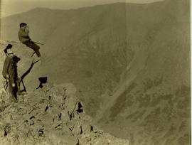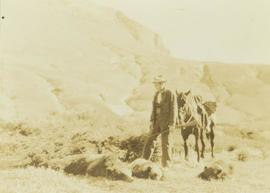
2000.19.2.164
·
Item
·
29 Aug. 1927-26 Sept. 1927
Part of Prentiss Gray Collection
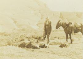
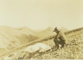
Photograph depicts Prentiss Gray standing beside a felled mountain goat on a rocky slope. In the background a mountain range is visible.