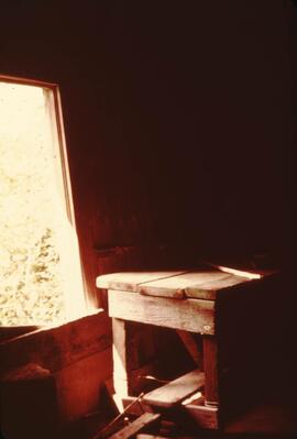
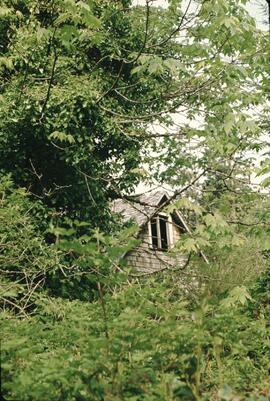
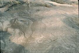
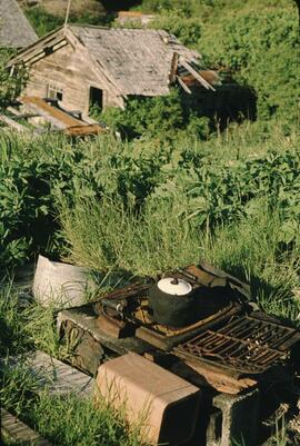
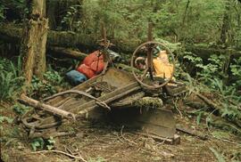
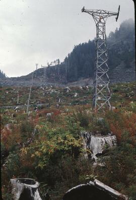
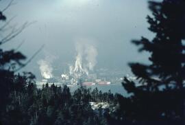
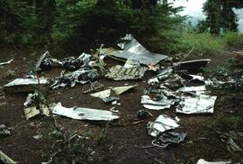
Mostrar 19534 resultados

Archival description
Imagem
Previsualizar a impressão Hierarchy Ver:

19534 resultados com objetos digitais Mostrar resultados com objetos digitais

Poling a canoe

Three Indigenous men stand in a canoe poling their craft along a shoreline while one man sits and steers. An unidentified village is visible along the opposite shore.

G. Gary Runka fonds

  • 2020.4
  • Fundo
  • 1945-2013

This fonds illustrates the life and work of G. Gary Runka and his contributions to the province of British Columbia. Gary Runka was the first General Manager of British Columbia's Agricultural Land Commission and helped establish the provincial Agricultural Land Reserve. After transitioning from a government career to private consulting, Runka provided comprehensive professional services through his land consultancy business, G.G. Runka Land Sense Ltd., offering land capability and environmental assessments, integrated resource management, land and water use conflict resolution, and interdisciplinary land use planning. Described by colleagues as one of BC's most highly respected agrologists and influential land use planners, Runka had a 52-year career working on (or against) an incredible number of landmark projects in British Columbia, such as the Site C Project. Gary Runka’s partner in life and vocation, Joan M. Sawicki, worked with Gary on many of these projects—as well as her own; her contributions are also represented throughout the records of this fonds.

Gary Runka's deep connection to the land is evident from his earliest papers on aerial photo interpretation, his work with the Canada Land Inventory, through his speeches and his work establishing the BC Agricultural Land Reserve and in his subsequent consulting career through G.G. Runka Land Sense Ltd. Gary Runka's influence and legacy was recognized in the tributes paid after his death, including the post-humus award as the Real Estate Foundation's "Land Champion" for 2014.

The G. Gary Runka fonds has been divided into the following nine series:
1) Personal Records
2) Speeches & Publications
3) Professional Records
4) Agricultural Land Commission
5) Land Sense Ltd.
6) Client Files
7) Maps
8) Photographs
9) Digital Records

Sem título

Beaver Trucking, Kamloops Indian Reserve No.1

Photograph depicts Beaver Trucking located on Kamloops Indian Reserve No. 1 on Tk'emlups te Secwepemc territory, Kamloops, BC. It had been a company since 1990 and received 2 or 3 boxcars weekly loaded with items from Toronto that were then delivered around town. Davies later noted that the business was destroyed by arson in 1997.

Wuikinuxv (?) Totem Pole, Rivers Inlet, B.C

Photograph depicts a totem pole along a shoreline with canoes overturned at its base. A forested area is visible in the background. Pole is likely on the territory of the Wuikinuxv Nation, also known as the Oweekeno Nation whose traditional territory includes the shores of Rivers Inlet and Owikeno Lake. Annotation on recto of photograph states: "Indian Totem Pole, Rivers Inlet, B.C"

Haida totem pole, Massett, B.C

Photograph depicts a Haida crest carving on a wooden pole in front of a house. Annotation on recto of photograph states: "Indian Totem Pole, Massett B.C."

Hagwilget Bridge, Bulkley River

Photograph depicts the wooden Hagwilget Bridge spanning a rocky gorge over the Bulkley River. Forested area visible in the background. Annotation on recto of photograph states: "W.W.W. Old Indian Bridge, Bulkley River"

Church on Tsal'alh Nation territory

Photograph depicts a church that was built of shaped logs on the territory of the Tsal'alh Nation on the road leading to Seton Lake. Church was derelict, but still held pews, plastic flowers and small shrines.

First Nations Village at Fraser Lake

Photograph depicts a cluster of buildings near Fraser Lake. A fence and grasses in the foreground. Original photo title: "Indian Village at Fraser Lake." First Nations communities with territories overlapping Fraser Lake include Nadleh Whut'en and Stellat'en Nations.

Lheidli T'enneh Village

Photograph depicts a cluster of wooden buildings including a flagpole and church spire at a Lheidli T'enneh village site. Original photo identified this image as "Indian Village, Fort George".

Anglican priests of the Nisga’a

Photograph depicts three Anglican priests that served Nisga’a communities in the Nass Valley of British Columbia. They have been identified as (left to right): Father John Hannen (serving Gingolx, later Bishop of the Anglican Diocese of Caledonia), Father John Blyth (serving Gitlaxt'aamiks), and Father David Retter (serving Laxgalts'ap).

Photo identification key overlay sheet

Photograph is a group portrait of the attendees at the Federal-Provincial Canada Land Inventory Coordinators Meeting in Victoria, March 31-April 1, 1971. Starting from the back row, left to right, attendees included: John Senyk, B.C.; Jim Allin, B.C.; Fred Frederickson, B.C.; Red Ward, Ontario; George Rathwell, Saskatchewan; John Foster, Ottawa, Charlie Rowles, B.C.; David Glover, Ottawa; Bill Yeomans, B.C.; Don Coombs, Ottawa; Harold Hoyt, N.B.; Brian King, Ottawa; Art Benson, B.C.; Scott Johnston, Ottawa; Dan Blower, B.C.; Vic Solman, Ottawa; Don Benn, B.C.; Dick Spilsbury, B.C.; Les Lavkulich, B.C.; Doug Lacate, B.C.; John Wilcox, B.C.; Alf Leahey, B.C.; Mike Romaine, Ottawa; Dick Marshall, B.C.; Gary Runka, B.C.; Norm Sprout, B.C.; Ken Beanlands, Newfoundland; Mick Roberts, Ottawa; Paul Lajoie, Ottawa; Pat Duffy, Ottawa; Bert Brink, B.C.; Merv McKay, Manitoba; Rich Goulden, Manitoba; Reg McCormack, Ottawa; Gerry Howell-Jones, B.C.; Marcel Belzile, Quebec; Paul Deane, Ottawa; Laurie Farstad, B.C.; Stu Scott, Alberta.

Canada National Land Use meeting group portrait

Photograph is a group portrait of the attendees at a Canada National Land Use meeting. Back row, left to right: Gary Runka, Bruce Chambers, Frank Heaps, Vern Spencer, Peter Whiting. Middle row, left to right: Bob Scace, Lee Munn, Bill Bourgeois, Jim Murphy, Gerry Acott, Dave Rochefort. Front row, left to right: Mike Simmons, Les Cooke, John Hetherington, Betty McGregor, Daniel Paquette, Peggy Thompson, Patsy Murphy.

BC Agricultural Land Commission staff Christmas party

Photograph is a group portrait of BC Agricultural Land Commission staff members at a Christmas party. Back row, left to right: Patti, Terry Lewis, unknown, Julie Glover, Gordon Gram, Gary Holisko, Kirk Miller, unknown, Shirley Brightman. Middle row, left to right: Eve Lew, Jim Plotnikoff (Santa). Front row, left to right: Verona Hoosen, unknown, Jane Perch, Denise Jankovich, unknown, unknown.

Curling team at Summerland Curling Club event

Photograph depicts a curling team at a Feb. 1964 Summerland Curling Club event. Trophy at centre reads "L.A. Smith Ltd. Event". From left to right: Unknown, Brian McCormick, Gary Runka, Art (surname unknown).

BC Canada Land Inventory Group

Photograph is a group portrait of the British Columbia Canada Land Inventory team. Back row, left to right: Rob Hawes, unknown, Ivan Cotic, Terje Vold, John Wilcox [?], Keith Valentine, unknown, Alec Green [?], Horst Baender, Dick Marshall, unknown, John Senyk, Bill Watt, Neville Gough, Dan Blower, unknown, Gavin Young, Craig Brownlee. Middle row, left to right: unknown, Peter Murtha, unknown, unknown, John Harris, Al Aldred, Gary Runka, Ed Oswald, Mary Redmond. Front row, left to right: Rick Williams, Gerry Howell-Jones, Chris Stanley-Jones, Larry Lacelle, John Jungen, Tom Pierce, Jim Van Barneveld.

Canada Land Inventory National Soil Survey [?] group portrait

Photograph is a group portrait of the Canada Land Inventory team , possibly related to the National Soil Survey. Individuals identified: Norm Sprout (back row, 5th from left); Les Lavkulich (back row, 6th from left); Dr. Charlie Rowles (back row, 6th from right); Pat Duffy (3rd row back, 6th from right); Gary Runka (3rd row back, 5th from right).

Federal-Provincial Canada Land Inventory Coordinators Meeting in Victoria

Photograph is a group portrait of the attendees at the Federal-Provincial Canada Land Inventory Coordinators Meeting in Victoria, March 31-April 1, 1971. Starting from the back row, left to right, attendees included: John Senyk, B.C.; Jim Allin, B.C.; Fred Frederickson, B.C.; Red Ward, Ontario; George Rathwell, Saskatchewan; John Foster, Ottawa, Charlie Rowles, B.C.; David Glover, Ottawa; Bill Yeomans, B.C.; Don Coombs, Ottawa; Harold Hoyt, N.B.; Brian King, Ottawa; Art Benson, B.C.; Scott Johnston, Ottawa; Dan Blower, B.C.; Vic Solman, Ottawa; Don Benn, B.C.; Dick Spilsbury, B.C.; Les Lavkulich, B.C.; Doug Lacate, B.C.; John Wilcox, B.C.; Alf Leahey, B.C.; Mike Romaine, Ottawa; Dick Marshall, B.C.; Gary Runka, B.C.; Norm Sprout, B.C.; Ken Beanlands, Newfoundland; Mick Roberts, Ottawa; Paul Lajoie, Ottawa; Pat Duffy, Ottawa; Bert Brink, B.C.; Merv McKay, Manitoba; Rich Goulden, Manitoba; Reg McCormack, Ottawa; Gerry Howell-Jones, B.C.; Marcel Belzile, Quebec; Paul Deane, Ottawa; Laurie Farstad, B.C.; Stu Scott, Alberta.

Bella Bella Church decorated for Christmas

Photograph depicts the interior of a church decorated with white streamers. Annotation on verso states: "Canada, B.C., Indian(?) Bella Bella Church decorated for Christmas by Indian "decoration""

CPR line at Revelstoke

Photograph depicts the CPR line at Revelstoke. The present terminus is about 1 mile south of the mainline depot of the former Arrowhead branch line (27.5 miles long) which became submerged when Arrow Lake was raised 70 ft. in 1968-1969.

Mountain ridge rising out of alpine lake

Photograph depicts a mountain ridge rising our of an alpine lake that is visible in the foreground. The photograph location is the Mt. Petrie area from the north and northwest.

Resultados 1 a 50 de 19534