Fonds consists of personal papers, books, manuscripts, photographic materials, audio recordings and electronic records arranged into five series, which relate to Mr. Fawcett's personal life, his creative works and his relationships with members of the literary community.
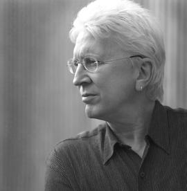
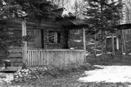
Fawcett, BrianPhotograph depicts a log cabin in the woods with a small porch and moose antlers hanging from the roof. Beside the house is a small log shed.
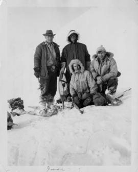
Photograph depicts George Edzerza , R. T. Gilman, Bill Mossoh, and Pete Hamlin with gear and wearing snowshoes in the Asbestos Mountain area. It is believed that the photograph portrays their exploration of the future mine at Cassiar.
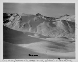
Photograph depicts the dogsled team of George Edzerza's expedition party on Asbestos Mountain during an exploration of the future mine at Cassiar.
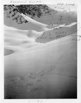
Photograph depicts three men on Asbestos Mountain who are believed to be members of George Edzerza's expedition party during an exploration of the future mine at Cassiar.
Photograph depicts three men on Asbestos Mountain who are believed to be members of George Edzerza's expedition party during an exploration of the future mine at Cassiar.
Handwritten annotation on verso in blue ink describing sections of photograph which have been pointed to or outlined in blue ink: "LOOKING SOUTH" "ORE ZONE <500' [?] >" "'FLUFF' AREA" "2 MEN" "1 MAN" "OVER -->"
Handwritten annotation on recto in blue ink: "The shaded areas do not indicate 'fluff' necessarily - They are shadows from mountains. The size of the men will give you some indication of the distance".
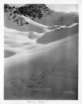
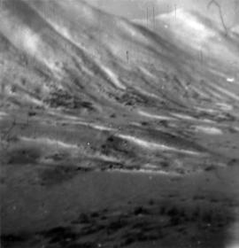
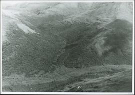
Photograph depicts the projected mining area of Asbestos Mountain, taken during the expedition of George Edzerza's party and their exploration of the future mine at Cassiar.
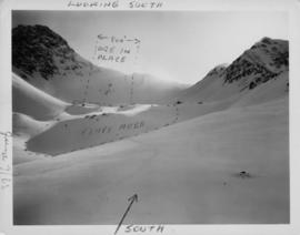
Handwritten annotation on verso in blue ink describing sections of photograph which have been pointed to or outlined in blue ink: "LOOKING SOUTH" "ORE ZONE <--500'--> ORE IN PLACE" "FLUFF AREA" "SOUTH^".
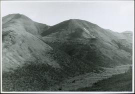
Photograph depicts the projected mining area of Asbestos Mountain, taken during the expedition of George Edzerza's party and their exploration of the future mine at Cassiar.
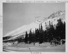
Handwritten annotations on verso in blue ink describing sections of photograph which have been pointed to or outlined in blue ink: "PROJECTED STRIKE - LOOKING NORTH - OVER -->" "<500'>" "NORTH".
Handwritten annotations in black ink on verso also outline areas and mark areas with "x".
Handwritten annotation on recto in blue ink: "No. 2. This is the continuation of the ore zone, over the top of the mountain, away from the 'fluff'' deposit."
Photograph depicts the projected mining area of Asbestos Mountain, taken during the expedition of George Edzerza's party and their exploration of the future mine at Cassiar.
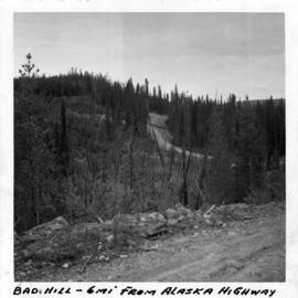
Photograph depicts a dirt road 6 miles from the Alaska Highway.
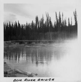
Photograph depicts a bridge at Blue River taken from shore.
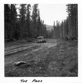
Photograph depicts a truck on a newly cleared dirt road in a mountain pass and a wooded area.
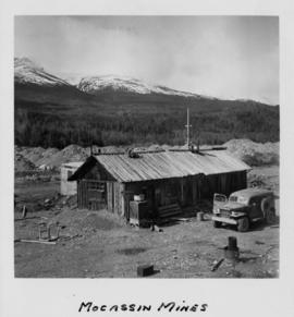
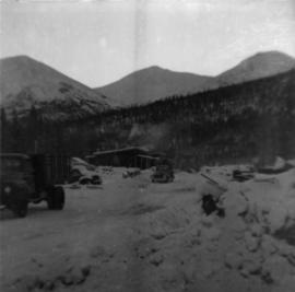
Photograph depicts a wooden structure in a gravel landscape. Truck with open door in foreground, forest and snow capped mountains in background. Mounds of gravel visible behind structure.
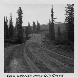
Photograph depicts a dirt roadway in wooded area. Snow capped mountains in background.
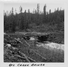
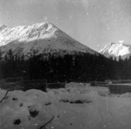
Photograph depicts a log bridge across Quartz Creek taken from shore. Trees in background on opposite shore, snow capped mountains barely visible behind trees.
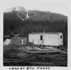
Photograph depicts three small camp structures in dirt landscape: one trailer, one wooden building and one tent building. Logs and wood pile in foreground, forest and snow-capped mountain in background.
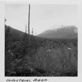
Photograph depicts the wooded area of the Cassiar valley. The projected plant site is outlined in blue ink. Trees and bushes in foreground, snow-capped mountains in background.
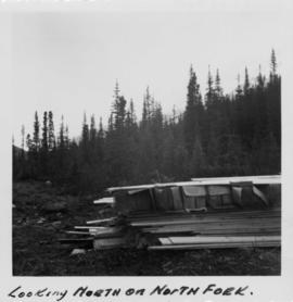
Photograph depicts a pile of industrial material in a wooded area. Pile includes what is believed to be cardboard boxes and lumber planks. Trees in background, mountains barely visible behind trees.
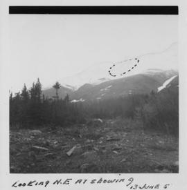
Photograph depicts a rocky clearing in a wooded area, snow-capped mountain in background. Outline of mountaintop is sketched on photograph in pencil, projected mining area is outlined in blue ink.
Photograph depicts approximately six lumber piles in the northwest corner of snow-covered plant site. Forest and snow-capped mountains in background. Photo taken facing west.
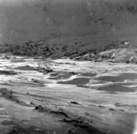
Photograph depicts snow-covered Asbestos Valley, taken from mountain road looking northwest.
Photograph depicts snow-covered Asbestos Valley, slightly north of asbestos deposit.
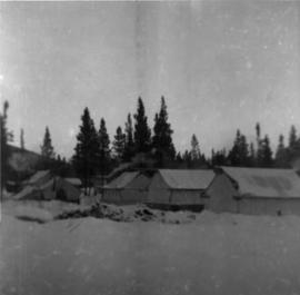
Photograph depicts tent structures among trees at the temporary Cassiar construction camp. Taken from future site of garage building, looking northwest, snow-capped mountain in background.
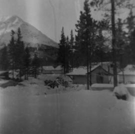
Photograph depicts McDame Mountain from view of the early construction campsite at Cassiar. Trees in foreground.
Photograph depicts glacier on McDame Creek road, 1.5 miles from the mine at Cassiar. Snow-covered trees in background.
Photograph depicts five trucks and Eimco loader in snow-covered campsite. Photo taken facing south, forest and snow-covered mountains in background.
Photograph depicts McDame Creek road, snow-covered and taken from center of road, 1.5 miles from the early construction camp at Cassiar. Trees and mountains in background.
Photograph depicts McDame Creek Road, snow-covered and taken from center of road 1.5 miles from the early construction camp at Cassiar. Two stakes in foreground, one on either side of road. Glacier is believed to be crossing road between two stakes. Trees on either side of road, trees and hills in background.
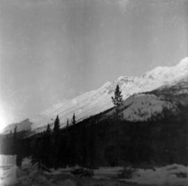
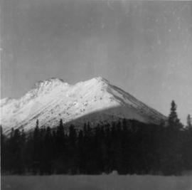
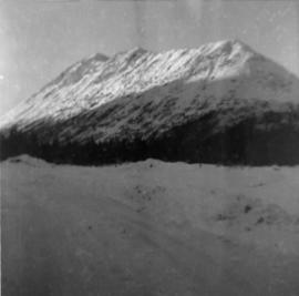
Photograph depicts snow-covered mountain north of townsite, partially covered in shadow. Photo taken with sun at highest point in the sky. Plant site clearing in foreground, trees behind clearing.
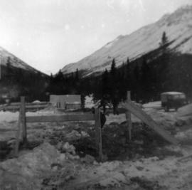
Photograph depicts three men building garage foundation in snow-covered plant site. Truck to right of men, wood fence structure in foreground, Asbestos Valley in background.
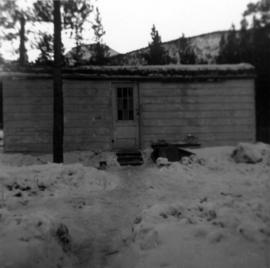
Photograph depicts the caboose office: a small wooden structure with flat roof and one door. Snow pathways and power pole in foreground, trees and hills in background.
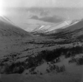
Photograph depicts snow-covered Asbestos Valley from a low altitude point on the mountain road leading to the mine.
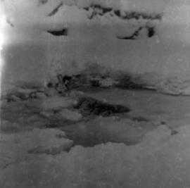
Photograph depicts weir on Troutline Creek, snow in foreground and background.
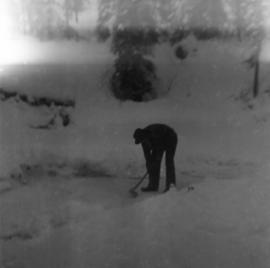
Photograph depicts man with axe believed to be Ed Livingstone breaking ice over weir on Troutline Creek, ice is 8 inches deep. Snow in foreground and background, trees in background.
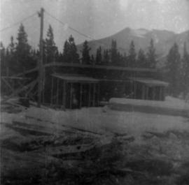
Photograph depicts first bunkhouse with lumber piles and power pole in foreground, trees and mountains in background.
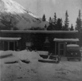
Photograph depicts cookery building with truck on right, in front of door. Snow-covered lumber piles and machinery in foreground, trees and mountain in background.
Photograph depicts cookery and bunkhouse buildings from side angle. Three trucks in foreground, unidentified object on right, trees and mountains in background.
Photograph depicts tent structures in the early construction camp at Cassiar. Snow-covered area in foreground, trees in background.
Photograph depicts snow-covered mountain north of townsite, partially covered in shadow. Photo taken from north road in plant site, snow-covered road in foreground, trees behind road.
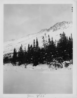
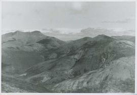
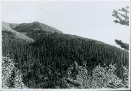
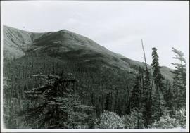
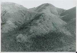
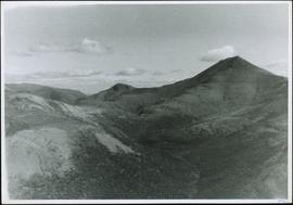
Photograph depicts range of hills, clouds in background.
Photograph depicts hill, trees in foreground.
Photograph depicts hill, trees in foreground.
Photograph depicts range of hills, trees at base.
Photograph depicts range of hills. Trees in valley, clouds in background.
Photograph depicts range of hills, trees in valley.
Photograph depicts range of hills, trees in valleys.
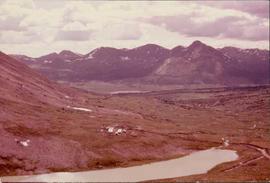
Photograph depicts valley in Kutcho Creek area, exploration camp in distance at foot of hill. The camp was set up by a crew led by Cassiar's Chief Geologist Bill Plumb.
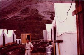
Photograph depicts man believed to be Matt Bell standing in Kutcho Creek exploration camp. The camp was set up by a crew led by Cassiar's Chief Geologist Bill Plumb. Tents on either side, wood structure in background. Sign on wood post: "PLUMB BLVD."
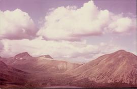
Photograph depicts valley in Kutcho Creek area, exploration camp in distance. Body of water in foreground, mountains in background. The camp was set up by a crew led by Chief Geologist Bill Plumb.
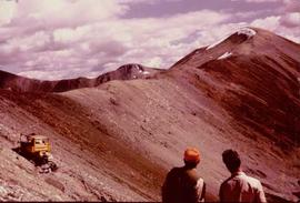
Photograph believed to have been taken near Kutcho Creek, BC during an outside exploration trip led by Cassiar's Chief Geologist Bill Plumb. Bill stands to left of man believed to be Matt Bell in right foreground. Bulldozer works along talus slope in left foreground.
