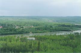
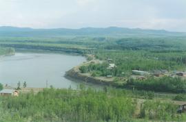
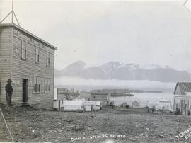
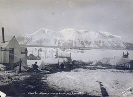
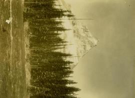
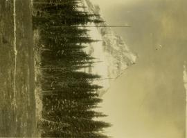
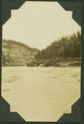
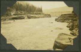
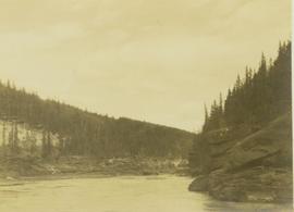
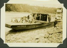
Image depicts four unidentified individuals standing on the bank of a river, possibly the Fraser, somewhere in or near Penny, B.C.
Image depicts a river, possibly the Fraser, near Penny, B.C.
Image depicts a red boat on a river, possibly the Fraser, near Penny, B.C.
Image depicts a beehive burner somewhere in or near Penny, B.C.
Pen holder with inscription marked "Iona" , "19--Sears--73", and Iona Campagnolo's initials "I.C" engraved below. It is probable that this was a gift to the Minister.
Image depicts the condominiums in the "Pemberton Valley Estates" in Pemberton, B.C.
Image depicts rail road tracks and several buildings in Pemberton, B.C.
Item is a photograph of Pelly Creek taken from a distance.
Photograph depicts lab technician Peggy Tomashewski.
Photograph depicts a pedestrian overpass, with rail below, leading to the Riverside Park and Coliseum. CPR container freight was moving westwards.
Item is a map depicting the areas of winter shadow in the Peden Hill neighbourhood in Prince George.
Item is a map depicting the areas of spring and fall shadow in the Peden Hill neighbourhood in Prince George.
Photograph depicts the lumber yard at Peden Hill sawmill, likely after the fire that burnt down the first mill at that location.
Item is a map depicting a future medium density development plan for the Peden Hill neighbourhood in Prince George.
Item is a map depicting a future low density development plan for the Peden Hill neighbourhood in Prince George.
Item is a map depicting a future high density development plan for the Peden Hill neighbourhood in Prince George.
Image depicts a view of Peden Hill in Prince George, B.C.
Photograph depicts peat barns on the New Westminster Highway on Lulu Island, near the #8 Rd., half a mile west of rail crossing.
Image depicts the Pearson Homestead.
Photograph depicts buildings and signage on either side of dirt road. Unidentified man stands on far left, Atlin Lake and mountains can be seen in background.
Hand inscribed annotation on recto of photograph reads: “Pearl St., Atlin, B.C. Aug. 1899. A.C. Hirschfeld, No.74”.
Photograph depicts tent buildings on either side of dirt road. Unidentified men are visible on left, Atlin Lake and mountains can be seen in background.
Hand inscribed annotation on recto of photograph reads: “Pearl Av. looking towards Atlin Lake, Atlin, B.C., A.C. Hirschfeld, No. 174”
Slide depicts peach trees blossoming in an orchard. Original slide index description: "Peach blossoms Lakeview Heights."
Slide depicts a close up of peach blossoms on a branch. Original slide index description: "Peach blossoms Shanboolard."
Slide depicts peach trees blossoming in an orchard. Original slide index description: "Peach blossoms Shanboolard."
Slide depicts a close up of two peach trees blossoming in someone's yard. Original slide index description: "Close up of Peach Blossoms, Casa Loma."
Slide depicts peach trees blossoming in an orchard. Original slide index description: "Peach blossoms Casa Loma."
Image depicts a section of forest located somewhere in the Peace River Regional District of B.C.
Image depicts grass burning at an uncertain location in the Peace River Region.
Image depicts a street of shops at an uncertain location somewhere in the Peace River Regional District. A pink and blue building, possibly a theatre, is labelled "Lux."
Handwritten annotation on recto: "near Rolla. Peace River. showing formation where oil exits, 1921"
Caption: "Entrance to the Rocky Mountain Canyon, Peace River. 19 miles of Canyon."
Photograph depicts the Peace River Canyon with the Peace River in the foreground and rocky, tree-lined cliffs flanking the river. In the background a forested mountain base is visible.
Photograph depicts the Peace River curving around the tree-covered cliffs at the Peace River Canyon.
Item is a photograph of a boat on the Peace River. The name of the boat reads as follows: "Fort Vermilion".
Photograph depicts the Peace River leading up to a strait called the "Gate" at Lynx Creek. The narrow strait is flanked by a forested, rocky shoreline.
Image depicts the W.A.C. Bennett Dam on the Peace River in Hudson's Hope, B.C.
Image depicts a large group of unidentified individuals sitting on a hill; what is possibly the Peace River is visible in the background.