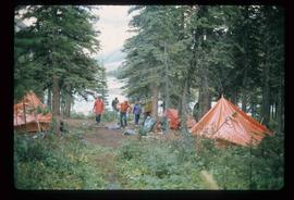
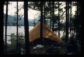
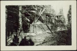
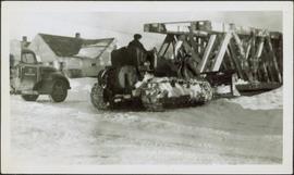
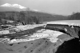
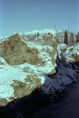
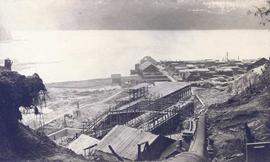
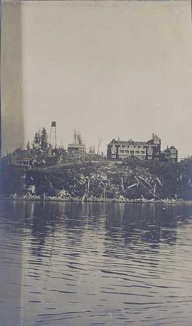
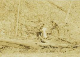
2012.13.1.56.08
·
Item
·
1973
Part of J. Kent Sedgwick fonds
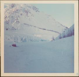
Image depicts a camp and what is likely Mt. Robson in the background.