File consists of a photocopy of an Envirocon graphs and tables, possibly copies of overheads used in a presentation entitled "Chinook Salmon by Life Cycle Stage".
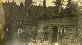
Photograph depicts six men standing outside a small log building. A sawhorse in the foreground, a tall pole "cache" and forest in the background.
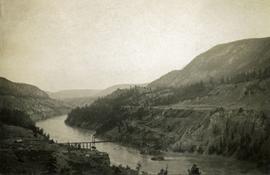
Photograph depicts a long spanned bridge crossing the Fraser River near Chimney Creek, BC.. Album notes state: "views of Chilcotin"
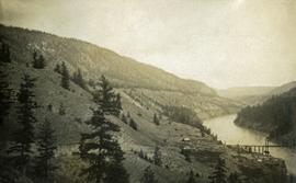
Photograph depicts a long spanned bridge crossing the Fraser River near Chimney Creek, BC.. Album notes state: "views of Chilcotin"
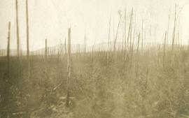
Photograph depicts standing trees that have been burnt, possibly after forest fire. Low hills can be seen in the background.
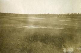
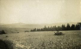
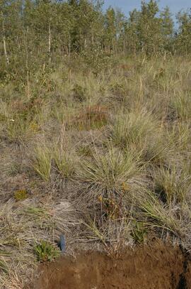
Photograph depicts open grassland with forest in the background.
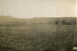
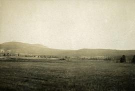
Photograph depicts open range land and treed low hills.
Photograph depicts open range land and treed low hills.
Photograph depicts open range land and treed low hills.
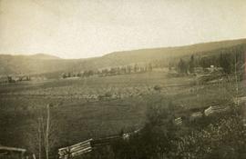
Photograph depicts open range land and treed low hills. There is a log fence in the foreground and roofs of buildings on the right.
File consists of correspondence and reports from John Hummel and Dana Wagg, Cheslatta Band researchers. Also includes clippings; anti-Kemano propaganda material; copies of Alcan correspondence; "The Story of the Surrender of the Cheslatta Reserves on April 21, 1952"; "Chronology of the Cheslatta Lake Flooding and Subsequent Surrender, Moving and Relocation of the Cheslatta Indian Band as Gleaned from Original Letters, Documents, Interviews, and other Printed and Written Material" compiled by Mike Robertson in 1991; "Kemano 2 Update" report by Dana Wagg; and "Kemanogate: Secret DFO probe quashed, Tapes destroyed" by Dana Wagg.
File consists predominantly of faxed correspondence and documents from the Cheslatta Carrier Nation and the Carrier Sekani Tribal Council. These documents include copies of newspaper clippings, news releases, publicity material regarding Cheslatta Band's position on the Kemano Completion Project, briefing notes, documents written by Dana Wagg, correspondence from Alcan to the Band, and copies of released Department of Fisheries and Oceans memoranda. Also includes "The Story of the Surrender of the Cheslatta Reserves on April 21, 1952" by Mike Robertson; a copy of a "Proposal for an Agreement between the Government Commission of the Gitksan Wet'suwet'en People and the Vera Corporation regarding the Nanika River Project" of November 13, 1991; and a 1984 paper by Megan Swail entitled "The Kemano Completion Project: Selected Legal Issues".
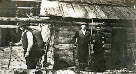
Photograph depicts three men standing in front of a log cabin. Two men hold fishing rods and each of these men hold a freshly caught fish. The third man stand to the side with a loaded back pack. Two men smoke pipes.
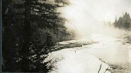
Photograph depicts a man wading waist deep in the river. Stones on the one shore, a log jam on the other shore, fog rolling over the stream in the distance.
Photograph depicts a view of the Cheakamus river from a lofty perch.
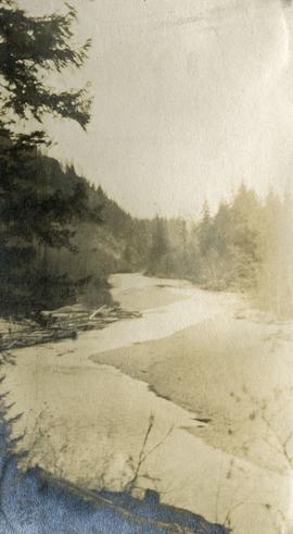
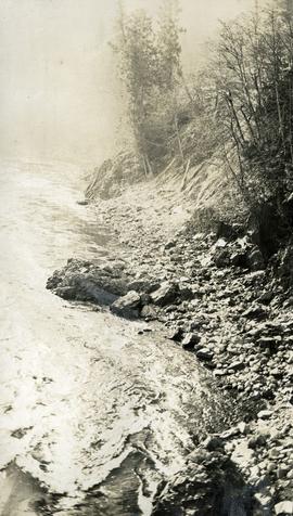
Photograph depicts a close up view of the Cheakamus river. Stones and brush line the river bank.
Photograph depicts a view from behind the trees, looking down on the river.
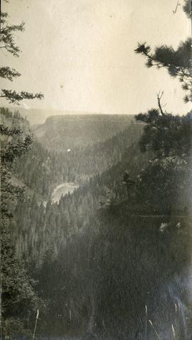
Photograph depicts a bird's eye view of a chasm and forested hills.
Photograph depicts a long line of 30 or more horses or mules and men. The horses appear to be tethered to a rope, some animals are wearing packs. Several men attend.
File consists of a photocopy of Clifford Burner's Fishery Bulletin entitled "Characteristics of Spawning Nests of Columbia River Salmon".
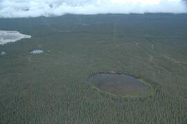
This image is part of the outbound sequence of aerial images obtained on the helicopter flight to the Klutlan Glacier study site. The sequence starts from the base camp at the White River crossing on the Alaska Highway and heads south, to a point just upvalley of the debris-covered terminus (approx. 10-15 km from Alaska border), and turning back north to the landing spot on the Generc River floodplain close to the study site (see Fig. 1 in paper).
File consists of a copy of Peter Ward's report on "Channel Changes in Kemano River to Date and Expected Future Changes from Kemano Completion Project".
File consists of a conference paper titled "Change and Development in the New Zealand Security and Intelligence Services" presented by Weller at WSSA, San Diego, 26-30 April 2000. This file was originally numbered to correspond with conference paper number 108 listed in Weller's CV.
File consists of a conference paper titled "Change and Development in the Australian Intelligence Network" presented by Weller at CASIS, Brock University, 2-4 June, 1996. This file was originally numbered to correspond with conference paper number 95 listed in Weller's CV.
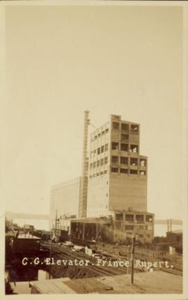
Photograph of a Canadian Grain elevator next to the railway in Prince Rupert, BC. Printed annotation on recto reads: "C.G. Elevator. Prince Rupert."
File consists of "Summary of CFS Prescribed Fire Research on Backlog NSR Land in Northern Interior B.C. Supported by the 1985-90 FRDA Agreement" prepared for the Research Silviculture's Field Tour July 25-28, 1988.
File consists mostly of lists of Canadian Forestry Service experiment sites and plots with some related maps and notes.
File consists of photocopied material regarding the Aleza Lake Experimental Station from the Canadian Forest Service Archives in Victoria. Also includes handwritten notes.
File consists of a memorandum from E.L. Young, Chief Forester, September 11, 1974.
File consists of memorandum to Deputy Minister from I.T. Cameron, Chief Forester, June 13, 1973.
File consists of a licence and framed certificates and photographs for Harry Coates. File includes:
- Scaling Licence (1962)
- two certificates celebrating Harry Coates' 25 years of service with the Forest Service (1982)
- photograph of Harry Coates, [Ted or Jed?] Baker, and John Revel at Aleza Lake Research Forest Re-opening July 9, 1992.
- Photograph of Harry Coates and John Revel, identifying plaque reads "Buckhorn Lake E.P. 660".
File consists of notes, clippings, and reproductions relating to British Columbia's central interior forestry industry. Includes material regarding beehive burners; economic viability of timber in Prince George, Quesnel, Burns Lake, and Houston; the Canfor pulp mill in Prince George; and Carrier Lumber Ltd. mill in Prince George. File primarily consists of clipped articles from the Prince George Citizen newspaper, including "Forest Expo 2004" special edition of the Prince George Citizen newspaper (1 June 2004).
File consists of notes, clippings, and reproductions relating to historical and contemporary natural resource surveys in British Columbia. Includes material on oil discovery, farming conditions, timber stands, the Alaskan Highway, and railway development. File predominantly consists of search results from the University of Northern British Columbia library, College of New Caledonia library, and Prince George Public Library regarding British Columbia's natural resource surveying.
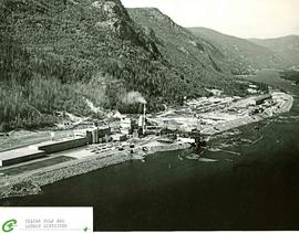
Item is an aerial photograph of mill by a waterway.
Item is an aerial photograph of mill by a waterway.
Item is a reproduction of a report by Grant Hazelwood entitled "Cathedral Provincial Park Horse Trip Report - September 18-22, 1979".
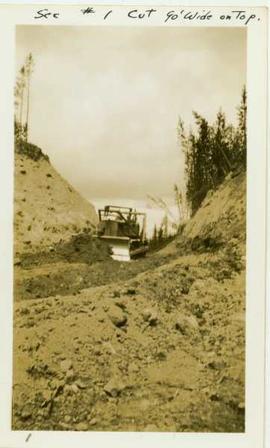
Photograph depicts a caterpillar tractor and a bulldozer working on a ditch cut through a forested landscape. Handwritten annotation on recto reads: "see #1 cut go wide on top". Handwritten annotation on verso reads: "caterpiller tractor and bulldozer working on ditch"
Original linen map depicts mining claims in the Cassiar District of British Columbia that were located in 1900-1901: L. 115 Princess Louise, L. 310 North Star, L. 311 Bonanza, L. 309 Emerald, and L. 312 Emma.
Fonds consists of textual, photographic, cartographic, electronic and promotional films/video recordings related to the mining operations of Cassiar Asbestos Mining Corporation (CAMC) and creation of Cassiar townsite. CAMC records primarily consist of records related to mining operations including construction, engineering, daily mining operations, administration of CAMC, tallies of extractions, labour and union activities, corporate events and visits by dignitaries. Townsite records are primarily visual representations of townsite construction, including the creation of health, education and community services including Cassiar's private hospital, school, library, as well as townsite images. Photographs include documentation of natural and man-made landscapes within the Cassiar region of Northern BC. Other holdings include a near complete run of Cassiar's community newspaper.
Cassiar Asbestos Corporation Ltd.A set of 13 maps showing approximate waste extraction areas for different benches during certain months of 1972. Extraction dates are included accompanied by estimated total tonnages for each planned extraction area. All plans are hand drawn using colored pencils, lead and black ink. Approximate calculations of extraction tonnages are included within certain months. Numerical bench markers are included. Total tonnages from the previous year and previous surveys are included within certain plans.
Photographs depict aerial views of the Cassiar townsite, plantsite, tailings pile, mine road, bench and pit mine, mine buildings (tramline loading station, crusher, shop, and garage), and surrounding mountain range. Here "aerial" refers to photos depicting a large area and taken from the air or from a high point of elevation.
File consists of Canadian Technical Report of Fisheries and Aquatic Sciences No. 1477 entitled "Case Histories of Regulated Stream Flow and its Effects on Salmonid Populations" by D.W. Burt and J.H. Mundie.
File consists of a published copy of Burt and Mundie's Canadian Technical Report of Fisheries and Aquatic Sciences report entitled "Case Histories of Regulated Stream Flow and its Effects on Salmonid Populations". Includes accompanying correspondence related to the publication.
File consists of a conference paper by Weller titled "Cascadia: Regional Trade and Separatist Politics." This file was originally numbered to correspond with conference paper number 87 listed in Weller's CV.
File consists of the second draft of a transcript of the meeting between the Department of Fisheries and Oceans (represented by Bell-Irving, Fretwell, and Blacket), the Aluminum Company of Canada (represented by Bill Rich, Brian Hemmingway, Doug Bruchet, Bruce Jenkins, and Clyde Mitchell), and the Carrier Sekani Tribal Council (Edward John, Justa Monk, Morris Joseph, et al) regard studies conducted by the Department of Fisheries and Oceans and the Aluminum Company of Canada Ltd. on the Nechako River and its resources. Document sent to Hartman by John Hummel, Cheslatta Band researcher, who included an accompanying letter. Annotated by John Hummel.
File consists of outgoing correspondence from BCUC to the Carrier Sekani Tribal Council and the Cheslatta Carrier Nation. Also includes incoming correspondence to BCUC from tribal council and the Cheslatta Band, as well as their representatives.
Item is a reproduction of a report by Leon Pavlick entitled "Carp Lake Park Report: 1973". Includes accompanying original Carp Lake Provincial Park brochure from 1983.
Item is an original booklet entitled "Carp Lake Park Proposal" issued by the BC Parks Branch, Department of Recreation and Conservation.
