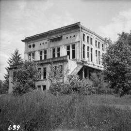
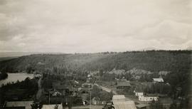
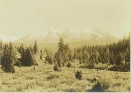
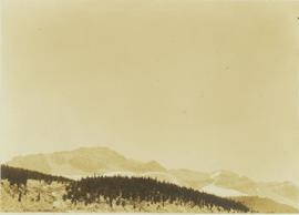
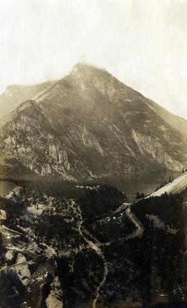
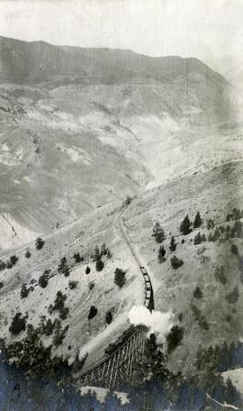
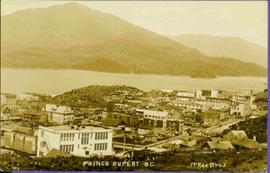
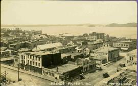
2003.8.3.4.13.15
·
Item
·
1973
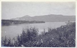
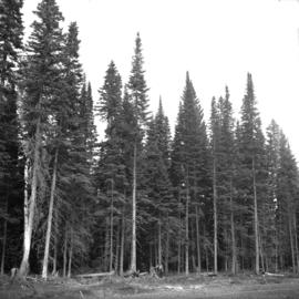
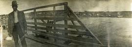
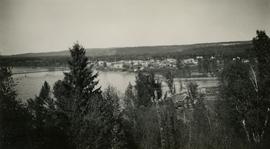
Part of Adam Zimmerman fonds
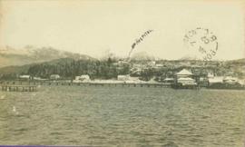
Photograph is part of a series of photographs depicting Olin Corporation's Fria location.